| Title |
Updating the Hoover Dam documents, 1978 / Milton N. Nathanson. |
| Creator |
Nathanson, Milton N. |
| Subject |
Water resources development -- Law and legislation; rivers |
| Spatial Coverage |
Colorado River (Colo.-Mexico) |
| OCR Text |
Show Updating the Hoover Dam documents, 1978 / Milton N. Nathanson. |
| Publisher |
[Denver, Colo.?] : U.S. Dept. of the Interior, Bureau of Reclamation : [For sale by] the Bureau of Reclamation, Engineering and Research Center ; Washington, D.C. : For sale by the Supt. of Docs., U.S. G.P.O., 1980. |
| Contributors |
United States.; Bureau of Reclamation. |
| Date |
1978 |
| Type |
Text |
| Format |
application/pdf |
| Digitization Specifications |
Pages were scanned at 400 ppi on Fujitsu fi-5650C sheetfed scanner as 8-bit grayscale or 24-bit RGB uncompressed TIFF images. For ContentDM access the images were resampled to 750 pixels wide and 120 dpi and saved as JPEG (level 8) in PhotoShop CS with Unsharp Mask of 100/.3. Foldout pages larger than 11" x 14" were captured using a BetterLight Super 8K-2 digital camera back on a 4x5 view camera (100mm Schneider APO lens). Oversize images were resampled to 1500 pixels wide. Optical Character Recognition (OCR) by ABBYY FineReader 7.0 with manual review. |
| Language |
eng |
| Rights Management |
Digital Image Copyright 2005, University of Utah. All Rights Reserved. |
| Contributing Institution |
Documents Division (ML), Gov Docs, U.S. Lvl , J. Willard Marriott Library, University of Utah, 295 S 1500 E, Salt Lake City, UT 84112-0860 |
| Source Physical Dimensions |
xii, 342 p. : ill. (part col.), col maps (1 fold. inserted) ; 27 cm. |
| Scanning Technician |
Backstage Library Works - 1180 S. 800 E. Orem, UT 84097. |
| Call Number |
I27.2: H76/ 7/978 |
| ARK |
ark:/87278/s690233n |
| Setname |
wwdl_documents |
| ID |
1137085 |
| Reference URL |
https://collections.lib.utah.edu/ark:/87278/s690233n |
| Title |
page II-10 |
| OCR Text |
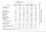
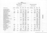
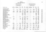
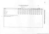
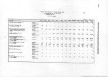
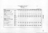
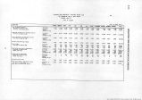
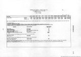
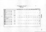
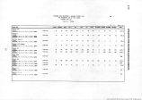
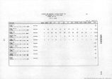
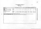
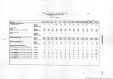
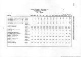
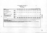
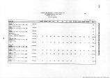
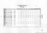
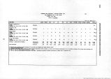
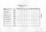
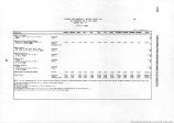
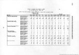
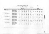
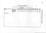
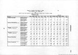
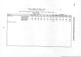
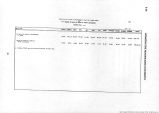
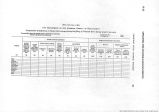
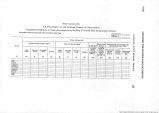
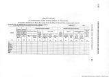
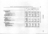
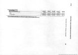
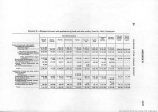
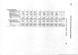
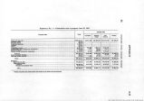
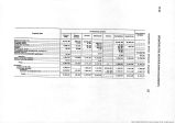
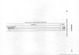
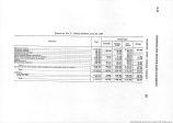
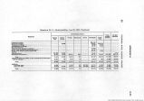
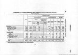
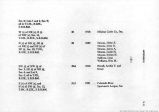
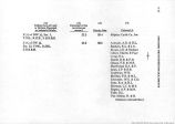
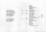
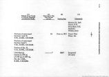
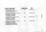
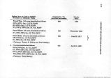
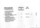
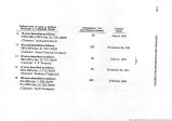
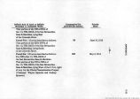
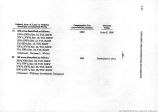
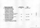
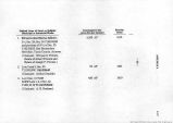
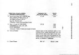
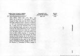
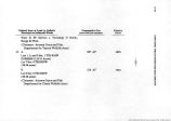
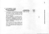
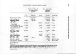
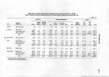
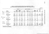
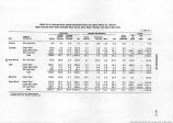
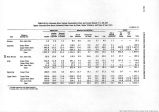
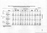
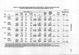
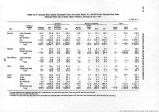
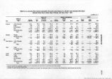
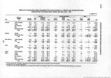
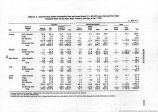
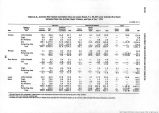
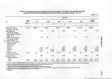
Show II-10 UPDATING THE HOOVER DAM DOCUMENTS The following tabulations for calendar year 1977 show final records of diversions of water from the mainstream of the Colorado River, return flow of such water to the mainstream and consumptive use of such water by water user agencies which have contracts with the United States. The records were furnished by the Geological Survey, International Boundary and Water Commission, Bureau of Indian Affairs, Bureau of Reclamation, National Park Service, Fish and Wildlife Service, and water user agencies. Diversions to All-American Canal and Gila Gravity Main Canal at Imperial Dam were assigned to each user based on deliveries to each user at its turnout from the canal and a prorated amount of the conveyance loss from the canal. The loss proration was based on the quantity delivered to each user and the length of the canal through which it was carried. The tables also show estimates of water use by water users other than those which have contracts with the United States. Records of quantities of water pumped by permittees under the Lower Colorado River Land Use Program and by others are incomplete or not available. Consequently, estimates of pumpage from the mainstream, from both the river and the underground, are shown for each State. Pumping from the underground was considered from only those wells located in the flood plain of the Colorado River between the toes of the slopes on either side of the valley. Supplemental sheets are enclosed which show the estimates of water pumped by each diverter between Davis Dam and the International Boundary. 5 |
| Format |
application/pdf |
| Resource Identifier |
310374-UUM-UHD-v31a2_page II-10.jpg |
| Source |
Original book: Updating the Hoover Dam documents, 1978 / Milton N. Nathanson. |
| Setname |
wwdl_documents |
| ID |
1136650 |
| Reference URL |
https://collections.lib.utah.edu/ark:/87278/s690233n/1136650 |


