| OCR Text |
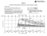
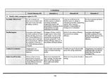
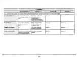
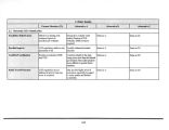
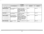
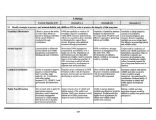
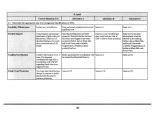
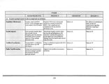
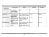
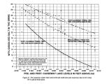
Show damages to facilities begins. This damage/ flooding will occur to recreation facilities, wildlife areas ( flooding of managed marshlands) and the Davis County Causeway ( elevation of crest is 4208 feet). Major transportation facilities ( interstates and railroads), mineral industries and sewage treatment facilities that were generally protected above the 4208 foot elevation during the 1983- 87 flooding should remain protected to at least 4208 feet. The salinity of the lake would range from about 6 to 9 percent salt by weight in the south arm and 17 to 20 percent salt by weight in the north arm. Zone 6. Elevation 4208- 4212 feet. The probability analysis indicates the lake would be in this zone about 8.3 percent of the time. Historically, the lake was in this zone from 1867 to 1879 and from 1984 to 1988. The average surface area and volume are 1,490,000 acres and 27,607,300 acre- feet, respectively. This zone can be characterized as the major flood zone of the lake. Many facilities near the lake were damaged/ wiped out during the 1984- 88 period. It would be expected that may of the facilities around the lake that were protected during the 1983 to 1987 period would remain protected if the lake again rose to near 4212 feet. It should also be expected that the facilities in this zone that were rebuilt after the lake lowered would be damaged/ wiped out again. The salinity of the lake would range from about 4 to 6 percent salt by weight in the south arm to about 15 to 17 percent salt by weight in the north arm. Zone 7. Elevation 4212- 4216+ feet. The probability analysis indicates the lake would be in this zone about 1.7 percent of the time. Historically, the lake has never been in the zone, although it reached a peak of 4211.6 feet in 1873 and a peak of 4211.85 in 1986 and again in 1987. Were the lake to reach the average elevation of this zone, the 1,90,000 acre surface area and 34,670,000 acre- feet volume would be over twice the average extent and size of the lake. Based on the flooding that occurred in 1986 and 1987, the two railroad causeways, Interstate 80 ( 1- 80) long the southern part of the lake would be flooded by the time the lake reached 4213- 4214 feet. Also, as was happening in 1987, major flooding would be occurring in residential areas near Rose Park and places along the east of the lake, such as Plain City and Corrinne. Protection to sewage treatment plants along the east shore area may also fail at these elevations. Although zones about elevation 4216 are not discussed, it goes without saying that major damages would continue to occur if the lake continued to rise. One area, Salt Lake City International Airport ( SLCIA), needs to be noted. Studies during the 1983- 87 period indicated the airport facilities are well protected and could continue to operate with elevations above 4216 feet ( perhaps up to 4220 feet) without major interruption to its operations. The salinity of the lake ( assuming northern railroad causeway remained in place) would range 3 to 4 percent in the south arm and 13 to 15 percent in the north arm. Current Status of Predicting Lake Levels During the early 1980s when the lake rose to an elevation of 4211.85 feet, there was a great deal of interest in predicting future levels of GSL. 29 |


