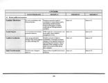
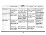
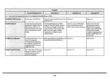
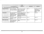
| OCR Text |
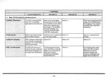
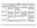
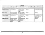
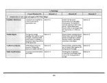
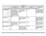
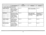
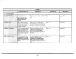
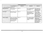
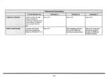
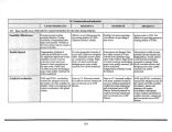
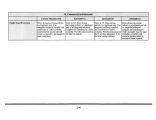
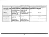
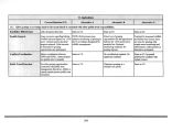
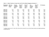
Show Great Salt Lake Management Alternatives Introduction The planning team developed an array of GSL management alternatives for public review and comment after completing public scoping. This array of alternatives was presented in a second series of public meetings to enhance the planning process. In response to public comment the array of alternatives was revised for this draft. GSL management alternatives A, B, C and CS are defined as: " CS" is the current situation or status. This is a brief statement of the current situation regarding a specific resource concern. " Alternative A" is the preferred management alternative. " Alternative B" represents an environmentally weighted management alternative. " Alternative C" is weighted in favor of commercial or development values. The alternatives are presented below: 1. Hydrology 1.1 For planning purposes, define GSL's flood plain. This is in response to a specific statutory charge and will apply to DNR lands. This is not intended to preempt the regulatory role of FEMA and local government on other lands. CS. Development discouraged below 4217 feet. DNR is not currently informed by local entities what local government zoning or mitigation may occur. The state, COE and the FEMA use various elevations and maps to identify the extent of the flood plain. A. For planning purposes, designate a 4217 foot elevation as the extent of the flood plain of GSL and encourage others to avoid development below 4217 feet. B. Same as A. C. Designate the flood plain at 4212 feet for planning purposes. 1.2 Develop strategies to deal with a fluctuating lake level. CS. Lake level zones are clearly defined in the 1995 plan, but agency actions are not. A. Accommodate fluctuating lake level by associating lake levels with different zones for planning and managing activities occurring on state land. DNR agencies would specify agency actions for the lake's level changes from zone to zone. Other entities would be encouraged to do the same for other lands. 161 |


