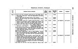
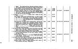
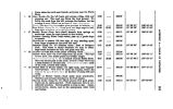
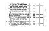
| OCR Text |
Show LIST OF ILLUSTRATIONS. Vnw of Fort Utah, on the Timpanogos. Fort Laramie. Soene in the Black Hills- Bitter Creek Valley. Crossing of the Platte. Fort Bridger. First View of Great Salt Lake Valley, from a Mountain- pass. Panoramio View- Aoross Bear River Bay- Great Salt Lake. West End of Fremont Island, and Antelope Island from Alum Bay. View looking North- west from Promontory Point. Station- East End of the Base Line, Salt Lake Valley. Great Salt Lake City, from the North. Street in Great Salt Lake City. Hot Springs- three miles from the City. Bowery, Mint, and President's House- Great Salt Lake City. Fort Utah, or Provaux City- Utah Valley. Utah Prisoners, under the Common Platform- Fort Utah. Old Elk and his Squaw- Utah Indians. Baron La Hontan's Map of " The Long River." Station, and Mass of Mica Schist- Frlmont's Island- Great Salt Lake. Cave on Fremont's Island. * East End of Fremont's Island and Promontory Range, looking North. Landing to Encamp- Bear River Bay- Great Salt Lake. Valley between Promontory Range and Rocky Butte- Bear River Bay. Camp No. 4, near Promontory Point. Flat Rock Point Part of Western Slope of Promontory Range. Gunnison's Island- Eastern Shore. * Gunnison's Island and Station, from the North. Limestone Cliff-- North End of Gunnison's Island. View from Strong's Knob. Carrington's Island. East Side of Stansbury's Island. Peak on East Side of Stansbury's Island. Entrance to the Valley of the Weber. Valley of the Jordan, from the Mouth of the She- rente. 11 |


