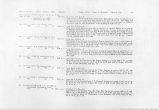
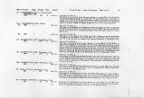
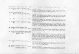
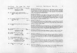
| OCR Text |
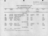
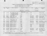
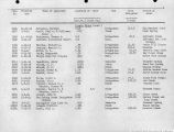
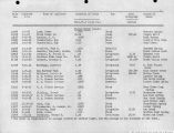
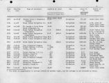
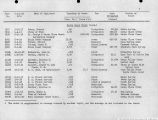
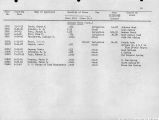
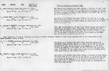
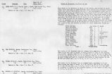
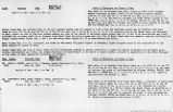
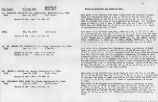
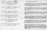
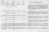
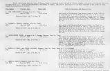
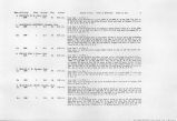
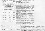
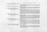
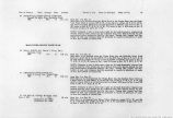
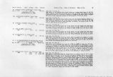
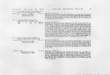
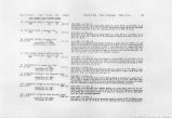
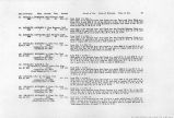
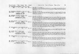
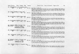
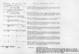
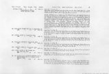
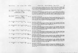
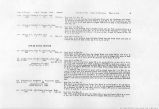
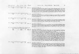
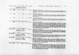
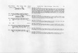
Show !>ate of Priority Class Acreage Duty Amount Period of Use. Point of Diversion. Place of Use. 25 123. THORLEY. .RICHARD A., Cedar City. Utah. . 1873 1 29.4 60 0.49 c.f.s. 124. THORLEY, RICHARD A.t Cedar City, Utah. Pec. 2, 1912 3 9.42 0.235 c.f.s. (Application No. 3685) (Certificate No. 378) 125. DECKER, VIVIAN B., Parowan, Utah. May 19, 1917 3 120.0 3.0 c.f.s. (Application No. 7305) (Proof Due Oct. 31, 1926) 126. SPILLSBURY, G. M., Toqucrville, Utah. Feb. 18, 1911 3 120.0 2.00 c.f.s. (Application No. 3791) (Proof Due Sept. 23, 1926) 127. SPILLSBURY, G. M., Toquerville, Utah. 1900 2 16.9 55 0.31 c.f.s. 128. BATTY, GEO. I., Pintura, Utah. Aug. 4, 1917 3 1760 (Application No. 7432) (Proof Due Nov. 15, 1926) 10.0 c.f.s. 129. GREGARSON, A. F., et al, Pintura, Utah. I860 1 6.5 55 0.12 c.f.s. 130. GREGARSON, A. F., et al, Pintura, Utah. Mar. 19, 1910 3 176.0 2.25 c.f.s. (Application No. 3081) Proof Submitted April 27, 1925) **om Mar. 1 to October 1. Said water to be diverted from Ash Creek at a point 2250 ft. S. and 150 ft. W. of the NW Cor. of Sec. 6, T. 39 S., R. 12 W. and used to irrigate 29.4 acres of land in said Sec. 6. trom Jan. 1 to Dec. 31. . Said water to be diverted from Mud Spring Wash at a point N. 81*23'. W. from the EJ4 Cor. of Sec. 6, T. 39 S., R. 12 W. and used to irrigate 9.42 acres of land embraced in said Sec. 6. • ¦. from Jan. 1 to Dec, 31. Said water to be diverted from Waterfall Canyon at a point 1650 ft. E. of a point 346 ft. N. of the SW Cor. of the NW*J of Sec. 5, T. 39 S., R. 12 W., and conveyed by means of a ditch for a distance of 3630 ft. and there used to irrigate 120 acres of" land embraced in the W]/2 of the NW% and the NW*4 of the SWJ4 of Sec. 5, T. and R. aforesaid. from Jan. 1 to Dec. 31. Part of said water will be diverted from Ash Creek, at a point which lies N. 52° E. 2390 ft. from NW Cor. Sec. 30, T. 39 S., R. 12 W. The balance of said water will be diverted from Peters Leap Creek, at a point which lies S. 48°55' W. 5310 ft. from E% Cor. of Sec. 25, T. 39 S., R. 13 W. The water so diverted wlil be conveyed by means of two ditches aggregating 6507 ft. in length and there used to irrigate 120 acres of land embraced in Sec. 25, T. 39 S., R. 13 W. from Jan. 1 to Dec. 31. Said water to be diverted from Leap Creek at a point S. 48°55' W. 5310 ft. from EJ4 Cor. Sec. 25 and used to irrigate 16.9 acres in the NW'4 NEJ4 Sec. 36 and SW% SEJ4 Sec. 25, T. 39 S., R .13 W. Said water to be diverted from Leap Creek at a point which bears N. 37° W. 9675 ft. from the NW Cor. of Sec. 36, T. 39 S., R. 13 W. and conveyed by means of a ditch for a distance of 14,000 ft. and there used to irrigate 1760 acres of unsurveyed land embraced approximately in Sees. 26 and 35, also the SW^4 of Sec. 25 and ~W]/i of Sec. 36, T. 39 §., R. 13 W. from Jan. 1 to Dec. 31. Said water to be diverted from Ash Creek into the North Ash Creek Ditch at a point 1530 ft. N. and 330 ft. E. of the N}4 Cor. of Sec. 1, T. 40 S., R. 13 W. and used to irrigate 6.5 acres of land embraced in the E^l NW;\ said Sec. 1. from Jan. 1 to Dec. 31. Said water to be diverted from South Ash Creek into the Bellevue Town Ditch at a point which bears S. 74°51' W. 7895.86 ft. from the NW Cor. of Sec. 1, T. 40 S., *R. 13 W., from where it will be conveyed by means of a flume and a ditch for a distance of approximately 14,520 ft. and there used during the period to irrigate 176.0 acres embraced in lots 3, 4, 5, WJ4 NWtf Sec. 1; E'/2 NE# Sec. 2, T. 40 S., R. 13 W; S/2 SWH, SWJ4 SE*4, Sec. 36, T. 39 S., R. 13 W. |


