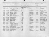
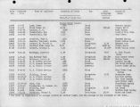
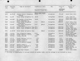
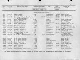
| OCR Text |
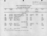
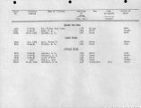
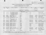
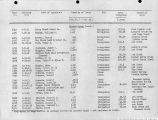
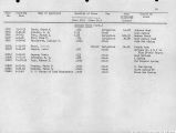
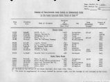
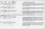
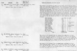
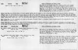
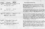
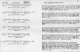
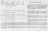
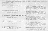
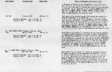
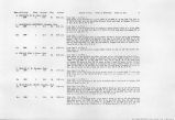
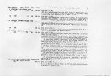
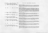
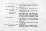
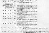
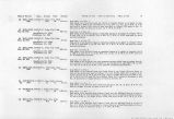
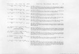
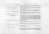
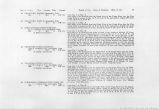
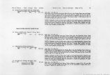
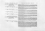
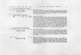
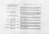
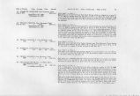
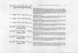
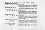
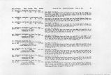
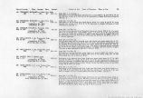
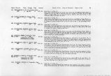
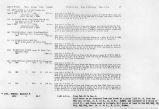
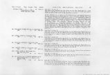
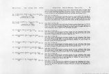
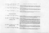
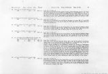
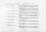
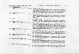
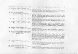
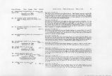
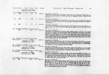
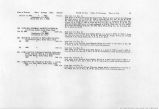
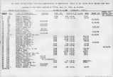
Show Date of Priority Class Acreage Duty Amount Period of Use. Point of Diversion. Place of Use. 24 114. PRINCE, LAWRENCE, New Harmony, Utah. 1870 1 12.4 60 0.21 c.f.s. US. SCHMUTZ, ANDREW G, New Harmony, Utah. 1860 1 8.3 60 0.13 c.f.s. 116. SCHMUTZ, GOTTLIEB, New Harmony, Utah. 1860 1 10.2 60 0.17 c.f.s. 117. THORLEY, RICHARD A., Cedar City, Utah. April 15, 1911 3 160.0 1.6 c.f.s. (Application No. 3142) (Certificate No. 816) 118. THORLEY, RICHARD A., Cedar City, Utah. Oct. 27, 1910 3 218.16 * 2.5 c.f.s. (Application No. 3554) (Certificate No. 1316) 119. THORLEY, SARAH S., Est. c/o Richard A. Thorley, Cedar City, Utah. Oct. 27, 1910 3 311.61 2.49 cJ.s. (Application No. 3555) (Proof Submitted Oct. 3, 1^25) 120. DECKER, GEO. W., Parowan, Utah. Feb. 20, 1915 3 240.0 (Application No. 6068) (Proof Due Nov. 15, 1926) 6.0 c.f.s. 121. THORLEY, RICHARD A., Cedar City, Utah. May 31, 1912 3 150.0 2.16 c.f.s. (Application No. 3263) (Certificate No. 714) 122. THORLEY, RICHARD A., Cedar City, Utah. Oct. 26, 1915 3 360.0 4.0 c.f.s. (Application No. 6336) (Proof Due Nov. 30, 1926) from April 1 to Dec. 1. Said water to be diverted from Ash Creek into the Davis and Pace Ditch at a point 70 ft. S. and 2060 ft. W. of the NE Cor. of Sec. 27, T. 38 S, R. 13 W. and used to irrigate 12.4 acres of land described as follows: 10.9 acres in Sec. 27; 1.5 acres in Sec. 26, T. 38 S., R. 13 W. Said water to be diverted from Ash Creek into the Gottlieb Schmutz Ditch at a point 1000 ft. N. and 150 ft. W. of the Wtf Cor. of Sec. 26, T. 38 S. ,R. 13 W. and used to irrigate 8.3 acres of land in Sec. 26, T. 38 S., R. 13 W. from April 1 to Dec. 1. Said water to be diverted from Ash Creek into the Gottlieb Schmutz Ditch at a point 1000 ft. N. and 150 ft. W. of the W^ Cor. of Sec 26, T. 38 S., R. 13 W^and used to irrigate 10.2 acres of land in said section 26. from Jan. 1 to Dec. 31. Said water to be diverted from Ash Creek at a point 2640 ft. S. and 82 ft. E. of the NW Cor. Sec. 36, T. 38 S., R. 13 W. and used to irrigate 144.6 acres in the SE# and 15.36 acres in SE1/* NE*4 of said Sec. 36. from Feb. 1 to Dec. 1. Said water to be diverted from Ash Creek at a point 82 ft. E. and 2640 ft. S. of the NW Cor. of Sec. 36, T. 38 S., R. 13 W. and used to irrigate lots 3 and 4, Sec. 31, T. 38 S., R. 12 W.; lots 3, 4, 5 and the SE^ NW# Sec. 6, T. 39 S., R. 12 W.; lots 1 and 2, Sec. 1, T. 39 S., R. 13 W., a total of 218.16 acres. from Feb. 1 to Dec. 1. Said water to be diverted from Ash Creek at a point 2640 ft S. and 82 ft. E. of the NW Cor. of Sec. 36, T. 38 S., R. 13 W. and used to irrigate 311.61 acres of land embraced in SW!4 NEJ4, SE^ SW^ and the SE*4 of Sec. 6; E/2 NE^ Sec. 7, T. 39 S., R. 12 W. from Mar. 1 to July 1. Said water to be diverted from Ash Creek at a point 5280 ft. W. and 1056 ft. N. of the NE Cor. Sec. 36, T. 38 S., R. 13 W. and used to irrigate 240 acres of land embraced in the NW/4 SW#, W/2 NW$4 Sec. 5; E^ NEtf Sec. 6, T. 39 S., R. 13 W. and S$4 SEJ4 Sec. 31, T. 38 S.f R. 12 W. from Jan. 1 to Dec. 31. Said water to be diverted from Sawyer Springs at a point 330 ft. W. of the SW Cor. of Sec. 36, T 38 S., R 13 W. and used to irrigate 150 acres of land embraced in Sees. 5 and 6, T. 39 S., R. 12 W. and Sec. 31, T. 38 S., R. 12 W. from Jan. 1 to Dec. 31. Said water to be diverted from Ash Creek at a point which bears S. 42°29' W. 6163 ft. distant from the NW Cor. of Sec. 31, T. 38 S., R. 12 W., and conveyed by means of a ditch for a distance of 8250 ft and there used to irrigate 360 acres of Snd embraced in Sees. 5, 6 and 7, T. 39 S., R. 12 W. |


