| OCR Text |
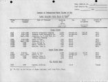
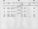
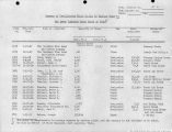
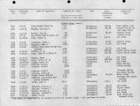
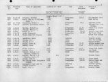
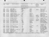
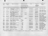
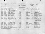
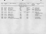
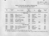
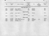
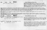
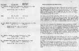
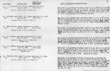
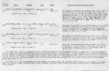
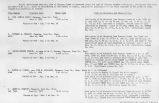
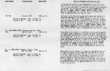
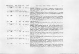
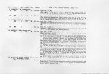
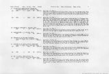
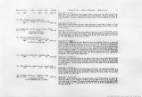
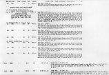
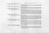
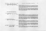
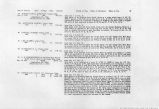
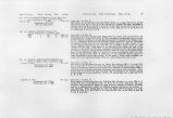
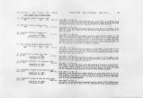
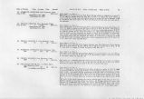
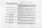
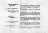
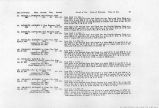
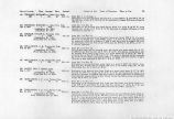
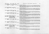
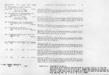
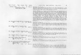
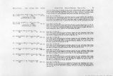
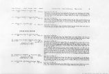
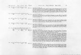
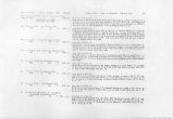
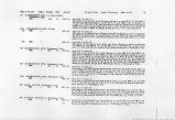
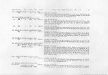
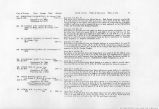
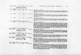
Show right to divert water at any diversional point lower than the lowest present diversional point• (a) Hyrum Jones, Gunlock, Washington County, Utah. Priority date Prior to Quantity Point of deversion and place and purpose of use, 1890 0.07 c.f.s. said water to be diverted from Magotsu Creek, a tributary of the Santa Clara River at a point approximately 225 ft. N. and 200 ft. ^. of the NE corner Sec. 2. T. hO S., R. 17 W., S.L.B. & M. into the Crow Field Ditch and used to irrigate h.2 acres of land in Secs, 1 and 2 T. hO S., R. 17 W. (b) HENRY BOWLER, Gunlock, Washington Co., Utah. Priority date Prior to Quantity Point of diversion and place and purpose of use. 1890 0.23 c.f.s. said water to be divertid from each either or both of the following points of diversion (a) from the Magotsu Creek, a tributary of Santa Clara River, at a point approx. 2500 ft. N. and 550 ft. VI. of NE corner Sec. 36, T. 39 S#, R. 17 w., S.L.B. & M. into the Bowler Ranch Ditch and used to irrigate 11.7 acres of land in said Sec. 36, (b) from said stream below the junction of Moody Wash and said stream at a point approx. 1250 ft. S, and 300 ft. W. of NE corner Sec. 2, T. ho S., R. 17 W», into the Emett Bottom Ditch and used to irrigate 3»3 acres of land in said Sec. 2. (c) JOHN BOWLER, Gunlock, Washington County Utah. Priority date Prior to Quantity Point of diversion and place and purpose of use. 1890 0.62 c.f.s. said water to be diverted from each either or all of the following points of diversion (a) from Magotsu Creek a tributary of Santa Clara River, at a point approx. 2500 ft. N. aii 5^0 ft. W. of NE corner Sec. 36, T. 39 S., R# 17 w«, S.L.B. & M. into the Bowler Ranch Ditch and used to irrigate 36.0 acres of land in Sees. 35 and 36, T. 39 S., R. 17 Ifert., (b) from said stream at a point approx. 2600 ft. W. and 2100 ft. S. of NE cor. Sec. 36, T. 39 S., R. 17 W., into an unnamed ditch and used to irrigate 0.3 acres of land in said Sec. 36, (c) from Moocty- Wash, a tributary to said stream, at a point aprox. 1100 ft. N. aii 150 ft. W. of NE cor. Sec. 36, T. hO S., R. 17 W#, into the Barley Field Ditch and used to irrigate h.l acres of land in said Sec. 2. (d) MAR BRACKEN, Gunlock, Washington County, Utah Priority date Prior to Quantity Point of diversion and place and purpose of use. Said water to -be diverted from Magotsu Creek, a tributary of Santa Clara River, at a point approx. 2500 ft. N. and 550 ft. W., of NE corner Sec. 36, T., 39, S., R. 17 W., S.L.B.& M. into the Bowler Itench Ditch and used to irrigate 9»0 acres of land in said Sec 36. (e) HENRY" HUNT, Gunlock, Washington County. Utah. Priority date Prior to Quantity Point of diversion and place and purpose of use. 1390 0.17 c.f.s. (aj o^oQ c#f#g- of said TOtej. to ^ diverted from the Springfield Upper and Lower Springs located in the NWjSWt Sec. 30, T. 39 S., R. 16 W., 3. L.B.&M. and usid to irrigate 5.1 acres of iiind in said Sec 30, and Z3. |
| Source |
Original book: Utah exhibits [of the] State of Arizona, complainant, v. State of California, Palo Verde Irrigation District, Imperial Irrigation District, Coachella Valley County Water District, the Metropolitan Water District of Southern California, City of Los Angeles, City of San Diego, and County of San Diego, defendants, United States of America and State of Nevada, interveners, State of New Mexico and State of Utah, parties |


