| OCR Text |
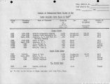
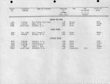
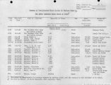
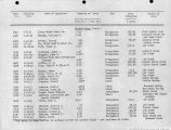
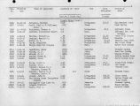
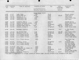
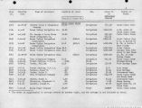
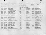
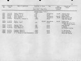
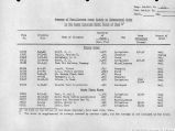
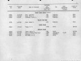
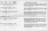
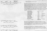
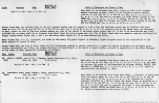
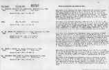
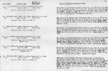
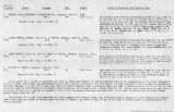
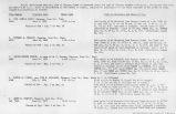
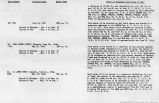
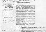
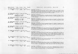
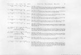
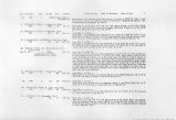
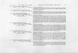
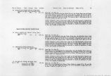
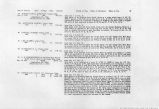
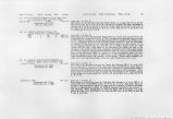
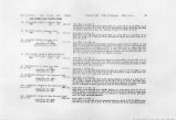
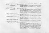
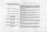
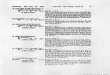
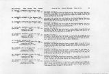
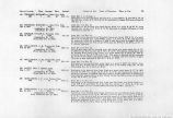
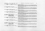
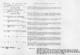
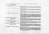
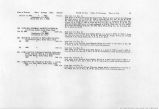
Show Date oi Priority Class Acreage Duty Amount 154A |OX1;S GEORGE, La Vcrkin, Utah. 1880 1 12.0 55 0.21 c.f.s. 155 IACKSON, HARRY S.} ToquerviHe, Utah. 1895 2 14.7 55 0.27 c.f.s. 156 GRAFF, E. I, La Verkin, Utah. 1890 2 3.0 55 0.05 c.f.s. Period of Use. Point of Diversion. Place of Use. from Jan. 1 to Dec. 31; Said water is to be diverted from La Verkin Creek into the Spillsbury and Anderson Ditch at a point approximately 1000 ft. S. and 800 ft. W. of the SE Cor. of Sec. 14, T. 41 S., R. 13 W. and used to irrigate 12.0 acres of land in the SE^SEtf of said Sec. 14. from Jan. 1 to Dec. 31. Said water to be diverted from LaVerkin Creek into the Wm. Jackson Ditch at a point in the NE# of SE1/; Sec. 14, T. 41 S., R. 13 W. and used to irrigate 14.7 acres of land described as follows: 3.0 acres in Sec. 14 and 11.7 acres in Sec. 23, T. 41 S., R. 13 W. from Jan. 1 to Dec. 31. Said water to be diverted from LaVerkin Creek into the Graff Ditch and used to irrigate 3.0 acres of land in Sec. 23, T. 41 S., R. 13 W. LOWER RIVER SECTION 157 SPENDLOVE, WM. W, Hurricane, Utah. 1880 1 16.1 55 0.29 c.f.s. 158 McMULLEN, FRANK PARKER, Leeds, Utah. July 25, 1923 3 ^ 1160 1.0 c.f.s. and 500 ac. ft. (Application No. 9344) (Proof Due Jan. 1, 1927) 159 THEOBOLD, MARTHA L., Toquerville, Utah. Mar. 31, 1915 3 360 4.0 c.f.s (Application No. 6100) (Proof Due Oct. 1, 1926) 160 CARPENTER, BRIGHAM, Hurricane, Utah. 1890 1 24.0 55 0.44 c.f.s. from Jan. 1 to Dec. 31. Said water to be diverted from the Gould Wash at a point 250 E. and SO ft. S. of the NW Cor. Sec. 19, T. 42 S., R. 12 W. and used to irrigate 16.1 acres of land embraced in Sec. 13, T. 42 S., R. 13 W. and Sec. 18, T. 42 S., R. 12 W. from Jan. 1 to lyec. 31. Said water to be diverted at a point 570 ft. N. of the SE Cor. of Sec. 33, T. 41 S., R. 13 W. and conveyed in a canal a distance of* 36,960 ft. and there used to irrigate 1160 acres of land embraced in SEK SE}4 Sec. 10; S>lA NE^, SV3 SW%, Sec. 11, all Sec. 12; NWM NW^ Sec. 14, E]/2 NE#, NW^ NE%, NE# SEJ4, Sec. 15, T. 42 S., R. 14 W. In addition, 500 acre-feet of water will be stored from Jan. 1 to Dec. 31, inclusive of each year in a reservoir which will inundate 30 acres of land embraced in NE% of Sec. 31, T. 41 S., R. 13 W., the center of the impounding dam of which will be at a point 3960 ft. N. and 200 ft. E. from the SW Cor. of T. 41 S., R. 13 W. The water will be released from the reservoir and convyeed in a ditch a distance of 18,480 ft. and used in connection with the 10 Sec. ft. to irrigate the above described land. from Jan. 1 to Dec. 31. Said water to be diverted from Grape Vine Wash at a point 2,267 ft. N. and 343 ft. E. of the SW Cor. of Sec. 8, T. 41 S., R. 13 W. and conveyed by means of a ditch for a distance of 3,960 ft. and there used to irrigate 360 acres of land embraced in Sees. 17 and 20, T. 41 S., R. 13 W. from Jan. 1 to Dec. 31. Said water to be diverted from the Virgin River into the Gaytes Ditch at a point in Sec. 36, T. 41 S., R. 14 W. and used to irrigate 24.0 acres in said Sec. 36. |


