| OCR Text |
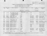
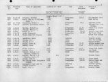
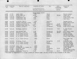
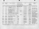
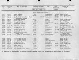
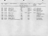
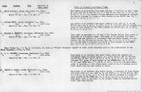
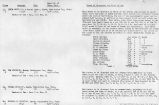
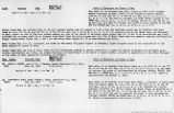
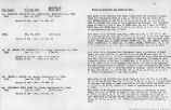
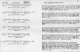
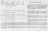
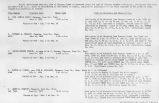
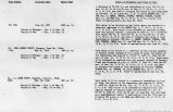
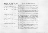
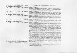
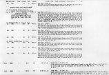
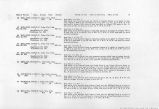
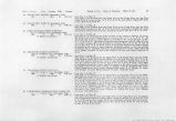
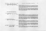
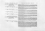
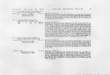
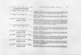
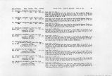
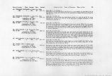
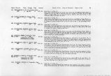
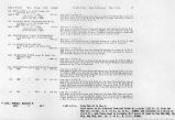
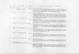
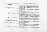
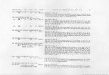
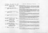
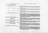
Show 16. STEPHEN A. BUNKER,J. F. & C. B. COTTAM,Veyo, Washinrton Co., Utah. Priority date Prior to 1890 Quantity k c.f.s. or proportion of stream Point of diversion and place and purpose of use. Said water to be diverted from each and either oi* all of the following points of diversions: (A)From the right hand fork of Grass Valley Creek at a point ^>prox. 300 ft. S. of the SE corner Sec. 29, T. 38 S., R. ll W., S.I.B. & M. into the Gardner and Rancher Ditch and used to irrigate 17»l4acres of land in said Sec. 29, situated North of said fork. (b)From said fork at a point approx. 250 ft. N. and 2200 ft. E. of SW corner said Sec. 29 into the New Field Ditch and used to irrigate 26.6 acres of land in Sees. 29, and 32 T# 38 S., R. Xli W., situated southeast of said fork. (c)That said Stephen A. Bunker, James A. Cottam and Caroline B. Cottam are the owners of the primary water right from the South fork of the Grass Valley Creek for sufficient water to irrigate 51 acres of land, or 1.13 c.f.s., or so much thereof as may be necessary and beneficially applied, and plaintiff's rights thereto are hereby quieted ad confirmed and the said land upon which said primary water rights is hereby adjudged and decreed is the farm commonly known as the John A. Gardner farm. When the flow in the South Fork of said Grass Valley Creek equals or exceeds the flow of 5«O2 c.f.s. said primary right decreed to Stephen A. Bunker, 3. F. Bottom and C. B. Cottam shall be supplied in full, but when the flow is less than 5.02 c.f.s. said water shall be taken in the proportion which 1.13 c.f.s. bears to 5»O2 c.f.s. (d)At a point approx. 850 ft. E. and 175 ft. South of the NE corner of Sec. 31 T. 36 S., R. lljW,, S.L.B, & M. into the Bunker Ditch or Home Ditch. (e)At a point approx. 3150 ft. If. and 1650 ft. e. of the SW corner of Sec. 31 into the Upper Meadow Ditch. (f)At a point approx. 2300 ft. N. and 550 ft. W. of sad d SW corner of Sec. 31 into the Lower Meadow Ditch and used to irrigate 300 acres of land in Sees. 31, T. 38 S., R. lli W., Sec. 25 and 36, T. 38 S., R. 15 W., and Sec. 1, T. 39 S., R. 15 V., S.L.B. & M. 17-MARY L RENCKER, St. George, Washington'County, Utah. Priority date Prior to 1890 Quantity 1.66 c.f.s. or Proportion of stream Point of diversion and place and purpose of use. Said water is to be diverted from each, either or all of the following points of diversion: (a)From Mill Canyon Creek, a tributary of Grass Valley Creek, at apoint approx. 2000 ft. N. and 250 ft. E. of SE corner Sec. 29, T. 38 S., R. H4 W# S. L. B. & M. into the Rencher Spring Ditch and used to irrigate 27.2 acres of land in said Sec. 29 situated SE of said creek. (b)From Rencher Spring No. 1 at a point approx. 1900 ft. I 4-. |
| Source |
Original book: Utah exhibits [of the] State of Arizona, complainant, v. State of California, Palo Verde Irrigation District, Imperial Irrigation District, Coachella Valley County Water District, the Metropolitan Water District of Southern California, City of Los Angeles, City of San Diego, and County of San Diego, defendants, United States of America and State of Nevada, interveners, State of New Mexico and State of Utah, parties |


