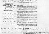
| OCR Text |
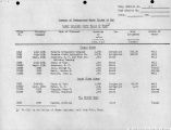
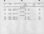
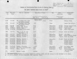
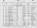
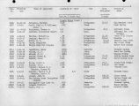
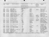
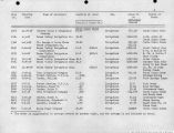
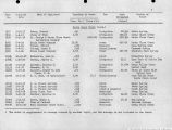
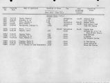
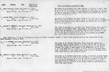
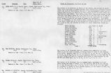
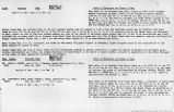
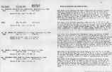
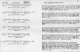
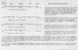
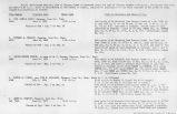
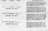
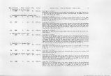
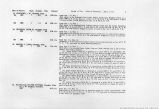
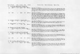
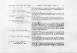
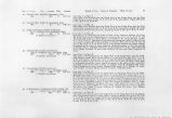
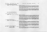
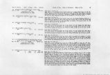
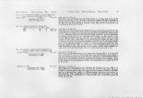
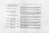
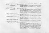
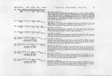
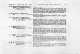
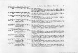
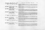
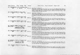
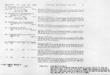
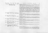
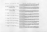
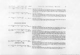
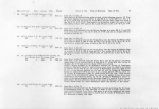
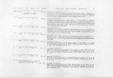
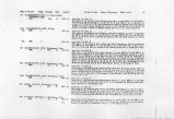
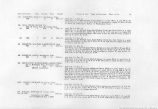
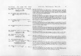
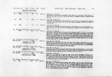
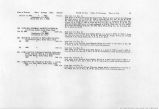
Show Date of Priority Class Acreage Duty Amount l>4 WASHINGTON CITY, c/o Frank Staheli. Washington, Utah. 1860 1 41.6 55 076 .cf.s. 174A. WASHINGTON CITY, UTAH, (a) 1860 1 0.07 cf.s. (b) 1860 1 0.09 cf.s. 175. WASHINGTON CITY, Washington, Utah. 1860 1 149.4 55 2.70 cf.s. 176. WASHINGTON CITY, Washington, Utah. 1860 1 35.5 55 0.65 cf.s. 176A. WASHINGTON CITY, Washington, Utah. I860 1 0.03 cf.s. 177. HALL, CALVIN, Washington, Utah. 1865 1 33.3 55 0.61 cf.s. 178. PAXMAN, ARTHUR A., Washington, Utah. I860 1 2.1 55 0.04 cf.s. Period of Use. Point of Diversion. Place of Use. from Jan. 1 to Dec. 31. Said water to be diverted from Westover Spring at a point 300 ft. N. and 1450 ft. W. and from Sproul Spring at a point 425 ft. N. and 1700 ft. W. of the SE Cor. of Sec 11, T. 42 S., R. 15 W., and conveyed through the Sproul Ditch and used to irrigate 41.6 acres of land embraced in Lots 3 and 4 Blocks 58, 51, 45, 46, 47, 48; Lots 4, 5, 6, and 7 Block 37; Blocks 38 and 39; Lots 3, 4, 5 and 6 Block 40. from Jan. 1 to Dec. 31. Said water to be diverted from Westdver and Sproul Springs at points respectively (1) 300 ft. N. and 1450 ft. W. and (2) 425 ft. N. and 1700 ft. W. from the SE Cor. Sec. II, T. 42 S., R. 15 W. and used for domestic and municipal purposes in Washington City. from Jan. 1 to Dec. 31. Said water to be diverted from Adair and Warm Springs at points respectively (1) 2800 ft. S. and 2200 ft. E. and (2) 950 ft. S. of the NW Cor. of Sec. 14, T. 42 S., R. 15 W. and used for domestic and municipal purposes in Washington City. from Jan. 1 to Dec. 31. Said water to be diverted from Adair Spring at a point 2800 ft. S. and 2200 ft. E. from Warm Springs at a point 950 ft. S. and from an unnamed spring at a point 1150 ft. S. and 300 ft. E. of the NW Cor. Sec. 14, T. 42 S., R. 14 W. and used to irrigate 49.4 acres of land in the Nj4 of Blocks 14, 15, 16 and 17; Lot 4 Block 18; Blocks 19, 20, 21, 22 and 23; W$4 Block 24; Wy2 Block 25; El/a Block 26; E$4 Block 27; Blocks 28, 29, 30, 31, 32, 33, 34, 35, 40, 41 and 42 of Washington Town Resurvey and Blocks 19 and 28 of Whitehead's Survey of Washington Town. from Jan. 1 to Dec. 31. Said water to be diverted from Sand Hollow Creek into the John Tanner Ditch at a point 2000 ft. S. and 1000 ft. W. of the NE Cor. Sec. 15, T. 42 S., R. 15 W. and used to irrigate 35.5 acres of land in S>4 Blocks 1, 2, 3 and 8; Blocks 4, 5, 6 and 7; Lots 1, 2 and 3, Block 18 of Washington Town Resurvey and N^NW'4 Sec. 23, T. 42 S., R. 15 W. from Jan. 1 to Dec. 31. Said water to be diverted from Sand Hollow Creek at a point 2000 ft. S. and 1000 ft. W. of the NE Cor. Sec. 15, T. 42 S, R. 15 W. and used for domestic and municipal purposes in Washington City. from Jan. 1 to Dec. 31. Said water to be diverted from Green and Calvin Hall Springs at a* point 700 ft. S. and 900 ft. W. of the N^ Cor. Sec. 15, T 42 S., R. 15 W. ^and used to irrigate 33.3 acres of land in Blocks 16, 17, 18, 22, 23, 24 and 25 of Whitehead's Survey of Washington Town and the SE^NW^ and NE^SW^ Sec. 15, T. 42 S., R. 15 W. Said water to be diverted from Green Spring at a point 700 ft S. and 900 ft. W. of the N'/£ Cor. Sec. 15, T. 42 S., R. 15 W and used to irrigate 2.1 acres of land in Blocks 21 and 26* of Whitehead's Survey of W'a*htegtoa Town. |


