| OCR Text |
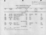
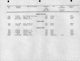
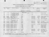
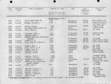
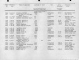
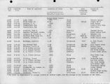
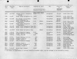
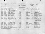
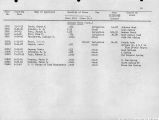
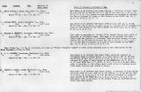
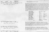
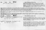
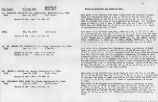
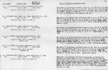
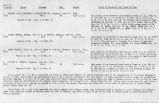
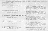
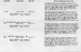
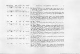
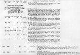
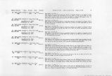
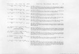
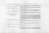
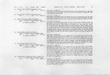
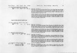
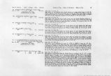
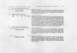
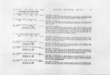
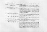
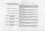
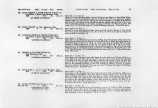
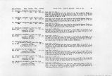
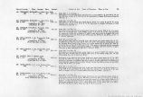
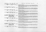
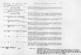
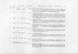
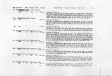
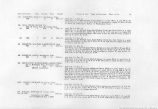
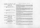
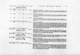
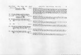
Show Date of Priority Class Acreage Duty Amount 40. BULLOCH, DAVID C, Cedar City, Utah. 1880 1 104.5 60 1.74 c.f.s. 41. BULLOCH, DAVID C, Cedar City, Utah. Nov. 18, 1910 3 .007 c.f.s. (Application No. 3615) (Certificate No. 509) 42. BULLOCH, DAVID C, Cedar City, Utah. Nov. 18, 1910 3 .01 c.f.s. (Application No. 3616) (Certificate No. 510) 43. BULLOCH, DAVID C, Cedar City, Utah. Nov. 22, 1910 3 .005 c.f.s. (Application No. 3633) (Certificate No. 511) 44. BULLOCH, DAVID C, Cedar City, Utah. Nov. 22, 1910 3 .012 c.f.s. (Application No. 3634) (Certificate No. 512) 45. ESPLAIN, FRANCIS A., Orderville, Utah. 1890 1 32.0 55 0.58 c.f.s. 46. ANDERSON, JOHN C, Cane Beds, Arizona. (a) 1903 2 10 55 .16 c.f.s. 47. WEBSTER, THOS. J., Cedar City, Utah. 1883 1 35.1 60 0.38 c.f.s. 48. MELLING, JOSEPH, Cedar City, Utah. 1883 1 80.0 60 1.33 c.f.s. Period of Use. Point of Diversion. Place of Use. 12 from May 1 to Nov. 1. Said water to be diverted from the David C. Bulloch Spring at its point of issuance, which is 1970 ft. W. and 1085 ft. S. of the SW. cor. Sec. 13, T. 39 S., R. 9 W. and used to irrigate 104.5 acres of land described as follows: 74.5 acres in Sec. 13; 10.0 acres in Sec. 23; 20 acres in Sec. 24, T. 39 S., R. 9 W. from Jan. 1 to Dec. 31. Said water to be diverted from an unnamed spring at its point of issuance 722 ft. N. and 1120 ft. E. of the SE. Cor. of Sec. 12, T. 40 S., R. 10 W. and used for stock watering purposes. from Jan. 1 to Dec. 31. Said water to be diverted from an unnamed spring at its point of issuance which is 217 ft. S. and 2102' E. of SE. Cor. Sec. 12, T. 40 S.( R. 10 W. and used for stock-watering purposes. from Jan. 1 to Dec. 31. Said water to be diverted from an unnamed spring at it spoint of issuance which is 1285 ft. S. and 113 ft. E. of the NW. Cor. of Sec. 13, T. 40 S., R. 10 W. and used for stockwatering purposes. from Jan. 1 to Dec. 31. Said watef to be diverted from two unnamed springs which issue at points described as follows: (1) 1425 ft. N. and 400 ft. E. and (2) 410 ft. N. and 1360 ft. W. of NW Cor. Sec. 13, T. 40 S., R. 10 W., to be used for stockwatering purposes. from May 1 to Nov. 1. Said water to be diverted from the North Fork of the Virgin River at either or both of two points and used as follows: (1) Levi Walker Ditch No. 2, point of diversion in Sec. 27, T. 39 S., R. 9 W. and used to irrigate 26.0 acres of land in Sec. 34, T. 39 S., R. 9 W. and (2) Levi Walker Ditch No. 1, point of diversion in said Sec. 34 and used to irrigate 6.0 acres of land in said Sec. 34. from May 1 to Nov. 1. Said water to be diverted from Anderson Spring in Sec. 21, T. 28 S., R. 9 W. and used to irrigate 10 acres of land in said Sec. 21. from May 1 to Nov. 1. Said water to be diverted from Adams Creek into the Melling Ditch at a point in Sec. 4, T. 38 S., R. 9 W. and used to irrigate 35.1 acres of land described as follows: 3.7 acres in Sec. 4; 12.5 acres in Sec. 9 and 18.9 acres in Sec. 10, T. 38 S., R. 9 W. from May 1 to Nov. 1. Said water to be diverted from Adams Creek into the Melling Ditch at a point in Sec. 4, T. 38 S., R. 9 W. and used to irrigate 80 acres of land described as follows: 19.0 acres in Sec. 4; 61.0 acres in Sec. 5, T. 38 S., R. 9 W. |


