| OCR Text |
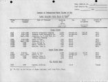
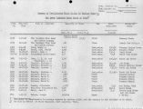
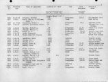
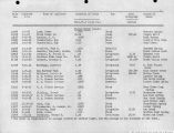
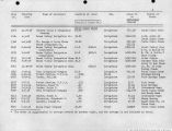
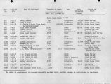
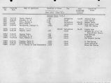
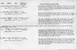
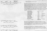
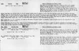
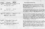
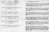
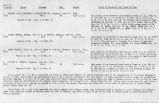
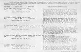
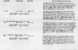
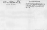
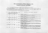
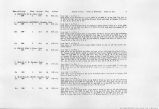
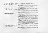
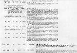
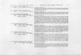
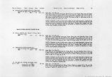
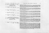
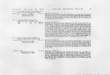
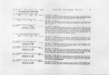
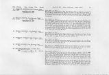
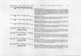
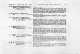
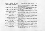
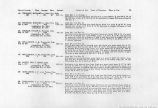
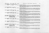
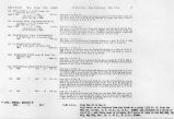
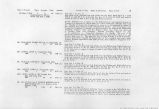
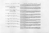
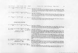
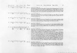
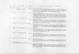
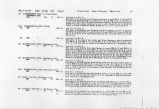
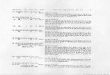
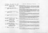
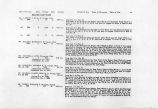
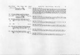
Show Date of Priority Class Acreage Duty Amount (b) 1870 1 134.0 60 1.88 c.f.s. 23. MT. CARMEL PIPE LINE CO., c/o W. L. Hodges, Mt. Carmel, Utah. 1870 1 0.08 c.f.s. 24. SORENSEN, ALTA M., Mt. Carmel, Utah. Feb. 17, 1919 113.9 2.0 c.f.s. (Application No. 6554) (Certificate No. 1007) 25. MUDDY IRRIGATION CO., c/o E. T. Lamb, Mt. Carmel, Utah. 1880 1 148.8 60 2.47 c.f.s. (A Mutual Association) Period of Use. Point of Diversion. Place of Use. 8 26. CARROLL, EDWARD, Orderville, Utah. 1890 2 13.7 60 0.23 c.f.s. 27. THACKSTON, JAMES W., Mt. Carmel, Utah. 1890 1 9.9 60 0.17 c.f.s. 28. FOOTE, DAVID L., Orderville, Utah. June 10, 1922 3 77.3 (Application No. 9050) (Proof submitted Jan. 2, 1926.) 3.00 cf.s. from Apr. 1 to Nov. 1. Said water to be diverted from Long Valley Creek into the Mt. Carmel City Ditch at a point 2460 ft. N. and 1750 ft. W. of the SE Cor. of Sec. 8, T. 41 S.f R. 7 W. and used to irrigate 134.0 acres of land in Sees. 8, 17, 18 and 19, T. 41 S., R. 7 W. from Jan. 1 to Dec. 31. Said water to be diverted from Mt. Carmel Springs in the SW}4 of Sec. 4, T. 41 S., R. 7 W. and used for domestic and municipal purposes in the Town of Mt. Carmel, Utah. from Apr. 1 to Oct. 31 Said water to be diverted from Big Meadow Creek at a point N 68°30'W-330 ft. from the N% Cor. of Sec. 33, T. 40 S., R. 8 W. and used to irrigate 113.9 acres of land described as follows: E1^ NW^, E^4 SWJ4, \Vl/j SElA Sec. 33, T. 40 S., R. 8 W. and NE*4 Sec. 4, T. 41 S., R. 8 W. from Apr. 1 to Nev. 1. Said water to t&NdJterted from Muddy Creek into Muddy Ditch at a point N 12° 30' W 2830 ft. from the SE Cor. Sec. 1, T. 41 S., R. & W. and used to irrigate 148.8 acres of land described as follows: 11.30 ac. in Sec. 1, T .41 S., R. 8 W; 90.4 ac Sec. 7 and 47.1 ac. in Sec. 18, T 41 S., R. 7 W. Said water is to be divided among the eight owners of it, each in the ratio of their respective individual acreage to the whole acreage as follows: (1) Osmer Lamb 11.3 acres; (2) Jos. F. Stevens 18.3 acres; (3) O. F. Spencer 16.3 acres; (4) Thos. H. Healy 16,4 acres (5) E. T. Lamb 28.0 acres; (6) John Chamberlain 19.0 acres; (7) H. W. Stevens 27.0 acres; (8) David P. Stevens 12.5 acres. Total 148.8 acres. from Apr. 1 to Nov. 1. Said water to be diverted from Long Valley Creek into the Joseph Hirshi Ditch at a point 1530 ft. S. and 330 ft. W. of N% Cor. Sec. 19, T. 41 S., R. 7 W. and used to irrigate 13.7 acres of land in said Sec. 19 and when the residue of water fails to reach David L. Foote's point of diversion all of the water is to be diverted at above point. from Apr. 1 to Nov. 1. Said water to be diverted from Long Valley Creek into the Thackston Ditch at a point 1750 ft. N. and 225 ft. W. of the SVA Cor. of Sec. 19, T. 41 S., R. 7 W. and used to irrigate 9.9 acres of land described as follows: 8.7 acres in Sec. 19; 1.2 ar.ces in Sec. 30, T. 41 S., R.7W. from Apr. 1 to Nov. 31. Said water to be diverted from the South Fork of the Virgin River at either N, 53° 10' E. 5368 ft. or N. 59°45' E. 2742 ft. from the SW Cor. Sec. 36, T. 41 S., R. 6 W. and used to irrigate 77.3 acres of land embraced in parts of the SEj4 SE# Sec. 34; S#SE# Sec. 35; SW$4SW$4 Sec. 36, T. 41 S., R. 8 W; NE^NEtf Sec 3, T. 42 S., R. 8 W. |
| Source |
Original book: Utah exhibits [of the] State of Arizona, complainant, v. State of California, Palo Verde Irrigation District, Imperial Irrigation District, Coachella Valley County Water District, the Metropolitan Water District of Southern California, City of Los Angeles, City of San Diego, and County of San Diego, defendants, United States of America and State of Nevada, interveners, State of New Mexico and State of Utah, parties |


