| OCR Text |
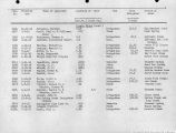
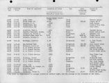
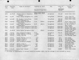
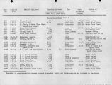
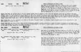
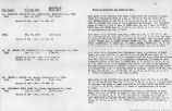
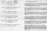
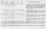
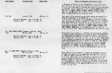
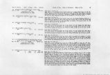
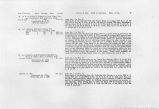
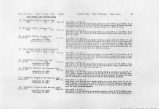
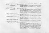
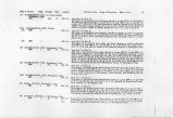
Show .AGRICULTURE UNDER IRRIGATION IN BA8IN OF VIRGIN RIVER. 219 sixteen days. The annual assessment for care and maintenance of the Seep Ditch is from 75 cents to $1 per acre, of which one-fourth is paid in cash and three-fourths in labor. As the water carried by the ditch is limited it is seldom sold apart from the land. THE ST. GEORGE CLARA F1KLD8. The two St. George Clara fields, excepting the land under the Santa Clara Seep Ditch, are the two lowest fields receiving water from Santa Clara Creek. They cover land on both sides of Santa Clara Creek below the Santa Clara fields and settlement, and above the Santa Clara Seep Ditch. There is supposedly 800 acres in the two fields, embracing 67 holdings, averaging a little less than 12 acres each. The control of the water for irrigation is held by the St. George Clara Field Company, which was incorporated August 22, 1901, with a capital stock of 800 shares, of the par value of $10 each. The fields are watered by the Upper and Lower St. George Clara ditches, heading a short distance apart, directly above the town of Santa Clara. Each acre draws water for from one to three hours each watering, depending on the supply in the creek, the water being distributed by one water master. For the purpose of ascertaining the approximate duty of water on the Santa Clara bottoms, a record of the flow in the two canals was kept during the season of 1902. There are no flumes in either ditch, so that it was necessary to make the ratings in earth sections. The streams were small at times and hence difficult to measure, but the record is thought to be of value. The record was commenced with the beginning of regular irrigation on March 17, and ended October 15. Owing to the failure of the supply in Santa Clara Creek, neither ditch carried water after June 24. The irrigation season, which ordinarily lasts until fall, was therefore over with the beginning of summer. There was not sufficient water in the creek to fill both ditches even up to June 25, making it necessary to alternate the supply between the two. From March 24 to June 10, as measured at the head, Upper Ditch carried 643.93 acre-feet, and from March 17 to June 24, Lower Ditch carried 684.31 acre-feet, making a total for the two fields of 1,328.24 acre-feet.a Although there are 800 acres in the field supposedly watered, the area actually watered was only 485 acres. Spread over this area the 1,328.24 acre-feet covered the land to a depth of 2.74 feet. The rainfall for the season was 0.57 foot, so that the total depth of water received by the land was 3.31 feet. Careful and complete crop returns were gathered with the help of Erastus B. Snow, of St. George. The principal products grown were alfalfa, 272 acres; wheat, 170 acres; and barley, 35 acres. Alfalfa was irrigated between January 15 and July 26,6 received "The discharge of each ditch by months was as follows: Month. March April May J une Total b A few farmers had a little water after June 24. Upper Ditch. Lower Ditch. Acre-feet. Acre-feet. 104.02 94.41 375.8X ia5.36 109.49 343.35 54.54 61.19 643.93 684.31 |
| Source |
Original book: Utah exhibits [of the] State of Arizona, complainant, v. State of California, Palo Verde Irrigation District, Imperial Irrigation District, Coachella Valley County Water District, the Metropolitan Water District of Southern California, City of Los Angeles, City of San Diego, and County of San Diego, defendants, United States of America and State of Nevada, interveners, State of New Mexico and State of Utah, parties |


