| OCR Text |
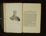
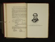
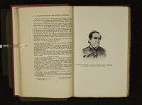
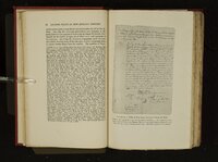
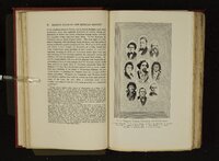
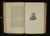
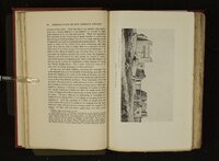
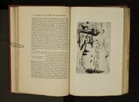
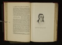
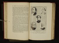
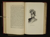
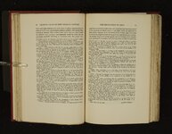
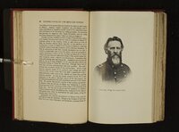
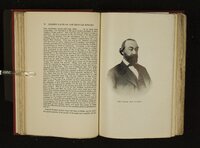
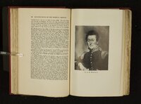
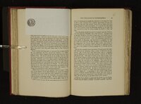
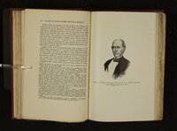
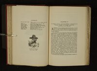
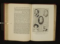
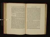
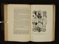
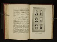
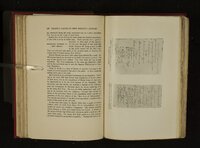
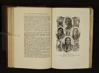
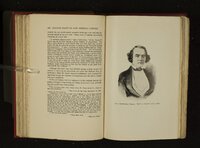
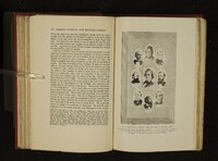
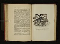
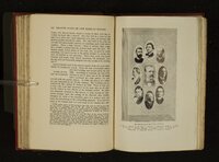
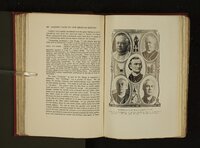
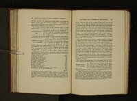
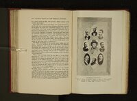
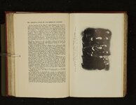
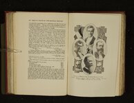
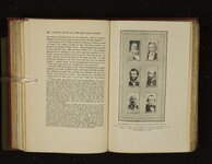
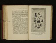
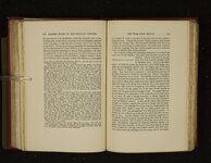
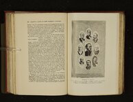
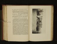
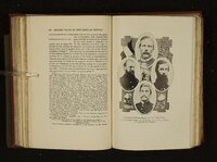
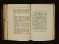
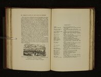
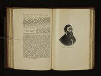
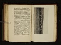
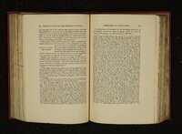
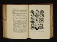
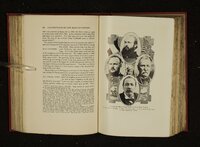
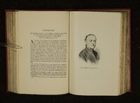
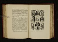
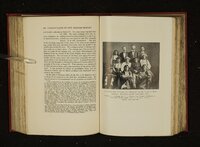
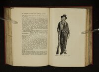
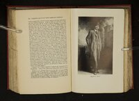
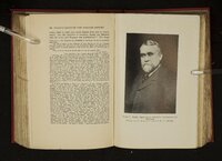
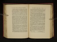
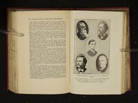
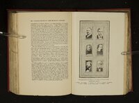
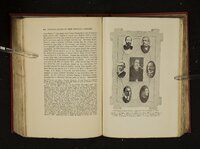
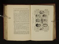
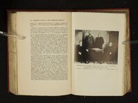
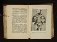
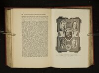
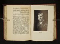
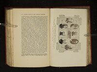
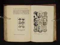
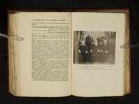
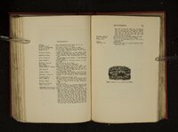
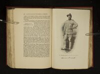
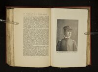
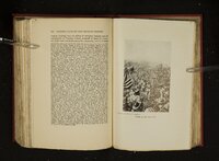
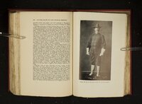
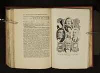
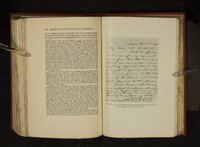
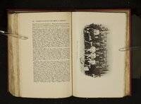
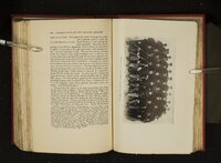
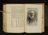
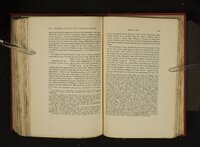
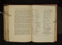
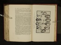
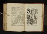
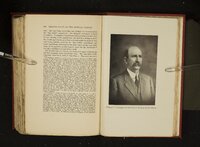
Show 282 FACTS OF NEW MEXICAN HISTORY li asa wen ge a tent Ione eee LEADING ‘irrepressible conflict’’ between the north and south was postponed a decade. Through the outcome of the struggle the south gained a more satisfactory fugitive slave law and the north secured the prohibition of the slave trade in the District of Columbia. California was admitted as a free state. New Mexico 2% and Utah became territories without provisions prohibiting slavery. The main point was won by the southern representatives in defeating the provision prohibiting slavery in the territories, but the north gained a free state and made no further concessions to the slave-holding interests. James S. Calhoun was the first governor of New Mexico subsequent to the military occupation period. He had been in New Mexico since July, 1849, holding the position of ADMINISTRATION OF GOVERNOR Indian agent for the _ territory, JAMES S. CALHOUN which office he filled with great credit to himself ; during his incumbency he furnished the government with a great deal of véry valuable 204 The boundaries as defined were as follows: ‘‘Beginning at a point in the Colorado river where the boundary line with the Republic of Mexico crosses the same; thence eastwardly with the said boundary line to the Rio Grande thence following the main channel of said river to the parallel of the 32° north latitude; thence east with said degree, to its intersection with the 103° longitude west of Greenwich; thence north with said degree of longitude to the parallel of 38° north latitude; thence west with said parallel to the summit of the Sierra Madre; thence south with the crest of said mounttains to the 37° north latitude; thence west with said parallel to its intersection with the boundary line of the state of California; thence with said boundary line to the place of beginning.’’ That part lying west of longitude 109 was detached in 1863 to form Arizona; and that part above latitude 37° in 1867 was attached to Colorado. There was also a large addition in 1854 by the Gadsden was organized of Colorado mountains, Purchase, 1850 There lying between not seem in and and Wyoming most of which included which lie was detached with Arizona. Utah the later Nevada, Utah, and those parts south of latitude 42° "and west of the was a little strip of the territory acquired from Mexico latitude 38°, the mountains, and the Arkansas river, that does to have been provided for in the final settlement of 1850. Bancroft, H. H., History of Arizona and New Mexico, p. 456, writing of the ce taken by Texas as to its claim of territory as far west as the Rio on gop : Tn congress, while Texan representatives never lost an oppor eit aie ec aiming on the unquestionable validity of their claim, there was merita: Oe Opinion, even among southern members, on its original te acl ee for the \ in this, as i every phase of the whole matter, all was merged 1 Texas was a slave ei issue, Hear ner? state, of Texas, would be an and eastern New Mexico, if deimmense territory gained at once real strenoth’ yr atever might be the result farther west. This was the only Pare ne ee ke Abe Texas claim in congress beyond the zealous efforts of the nam here tc riley - . This phase of the Slavery question also caused northern a territorial government evenin if4d OAslavery could i New Mexico, as a choice of evils, in not be prohibited. ent a ’’ : Chief Justice Kirby Benedict |