| OCR Text |
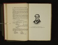
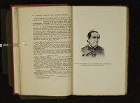
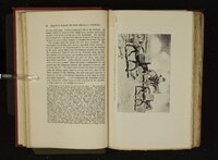
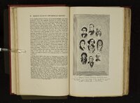
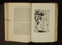
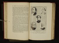
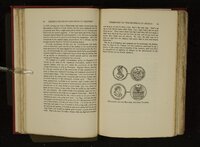
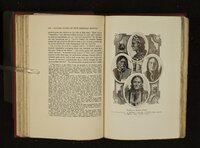
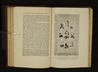
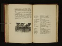
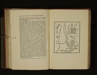
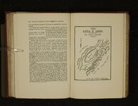
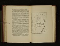
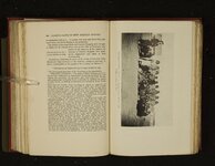
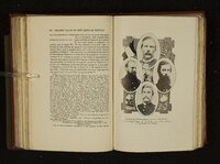
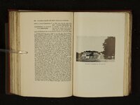
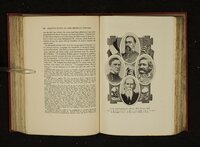
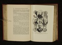
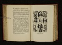
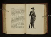
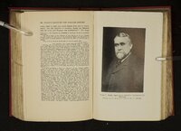
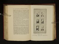
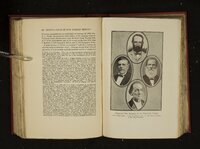
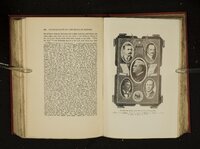
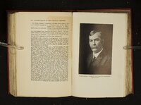
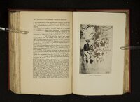
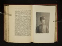
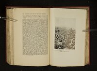
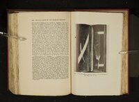
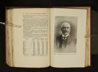
Show 116 LEADING FACTS OF NEW MEXICAN HISTORY OLD The success of the early traders attracted the attention of capitalists and shortly the government of the United States became interested. The prominent Missourians began sending memorials to congress, setting forth the opportunities of trade promotion and demanding government protection for the caravan s. Treaties were made with the Indian tribes. In 1825, congress passed an act authorizing the survey or marking out of the road and appropriated thirty thousand dollars for the purpose and for securing the consent of the Indians. In accordance with this law a commission consisting of Benjamin Reeves, George C. Sibley, and Thomas Mather, with a surveyo r named J. C. Brown, began the execution of UNITED STATES SURVEY the work, leaving the settlements in June, OF 1825 1825. The survey was made by chain and compass with sextant observations for lati- tude and longitude. The line as surveyed followed the trail pretty pp. Fé 24-25, herr ? ’ A 2 naa account » a m <a outeau he re&~@¢ ea aePha oe a iz ee a Ce as Pe oe Lee ok i eae Se ie adoe 7 P ae ae a eeefSteSes Pee hey Pat > alle Pl eel gl b * vr are a sll edie Mc ae da dicta tt aa endl ++ be «¢@ ere A ir dp A ee al lnc acl Se See: * ra Pe a oe ee ee bse ins Pe Cn ~~ OF Statement, drawn out in overnment investigations, pp. This "hi Register,weniie xxvii, 312-315, as a tesessi on, island dates with the Cho « » implies that the wagons reached Santa Taos. Storrs accompanied the caravan was | Document , a well-known 2¢ point on 7‘, the u was in Coverunate Document, 1-14 was T er Arkansas. the best The name Munn expedition of 1815-17. While on his way , ng o 16 with the furs coll uring the previ Ous winter, Chouteau was attacked by the Pawnees Rae aan and three wounded. _ He retreated to this island for purposes of defense and this he a aoe 1ts name, Chouteau had no trading post here. In the fact early ps sae i pl had a trading post near the present Bonner Springs, Kanoe a ssi ed the Four Houses,’’ because of the manner in which four tee Mie vere arranged for purposes of defense. In 1826 a great floodim eer et Washed away a warehouse belonging SANTA FE TRAIL 117 closely until after it left the Cimarron river, where it bore off to the westward and terminated at Taos. The memoir accompanying the maps of the survey states that the road was ‘“surveyed and marked’’ from Osage to Taos, but this would seem to be wrong. As far as the Arkansas river it was plainly marked with raised mounds, but beyond this point, if marked at all, it must have been in so temporary a way that the evidence of it quickly disappeared. The great mistake made in this survey was in attempting to force travelers to take any but the shortest practicable route. is always a dangerous experiment nature, and of the American cut. to ignore It the tendency of human type in particular, to take the short Knowing the perils of the Cimarron desert, Brown thought it better to ascend the Arkansas to Chouteau island and then g0 straight south to the Lower Spring of the Cimarron, which would be reached in one day. But it was traveling two sides of a triangle where it was possible to follow the third, and the traders preferred to take their chances by the shorter route. In like manner Brown thought it better for travelers to go first to Taos because that was the ‘nearest of the Mexican settlements, the most northern and the most abundant in provision for man and beast.’’? He accordingly turned off to the right at a point some distance beyond the head of the Cimarron and made straight for Taos. But here again the traders refused to follow him. From a practical point of view the survey was of little use; but it was a substantial contribution, or would have been if published, to the geographical knowledge fully executed, was extremely of the west. accurate, The survey was care- and was mapped in con- to the Chouteaus which a half miles below the present foot of Main street, Kanchandise saved w en the flood washed this post away the furs and other mer 1826 Chout taken to the post on the Kansas river. Some time after Shen ae ; (Fre paenens ) rebuilt his warehouse on the Missouri river, but on Peat on , 18 was the ‘Chouteau ’3 warehouse’’ of the early traders. upon which Br eau subsequently derived title from the government to the land land oF Ie e warehouse Stood and they would have Sufficient for all requirements down to the day of railroads. gave up fra din, So destroyed this warehouse and thereafter the Chouteau family It is an instance almost without after eee a he 2 hg RS e€, lived ngaged in other pursuits. mentioned by Augustus Storrs, there was until 1840. established The great in 1808 and ed On fact of land ceded by the Osage Indians. The fortifications the high bluff of the Missouri at the place known as Old years this post was the first on the frontier. The post 1809, by Captain Clemson, 1st U. S. Inf. It was aban government itself bartered with the Indians at this vder, traps, The and scalping knives for furs and pelts. junction with descriptive notes in a most convenient method. Had the government published these notes exactly in the form in which they were Pense, written, which could made have been a succinct parallel where done guide at very book of slight the the government, extrail doing a really useful piece of work, has pigeon-holed it in perpetuity and deprived the public of any benefit from it.*° the v Chittenden H. M., History of the American 14th of December, 1824, dito: Thomas H. Fur Trade, p. 534: Benton, who took a wen 0) 11 great mterest in the Far West, presented a petition to Congress reciting the nature, Magnitude, and importance of the Santa Fé trade, and praying that the govern- |