| OCR Text |
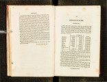
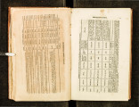
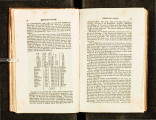
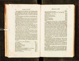
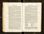
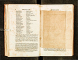
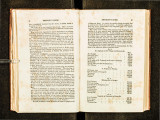
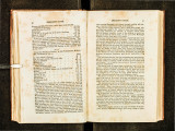
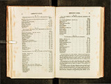
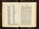
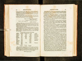
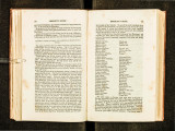
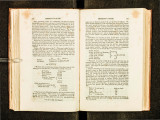
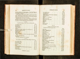
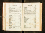
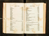
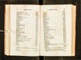
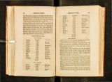
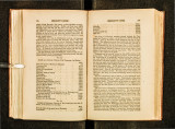
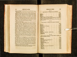
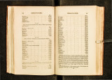
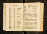
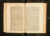
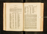
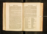
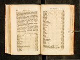
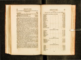
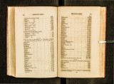
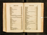
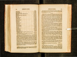
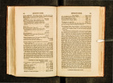
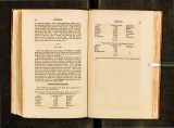
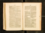
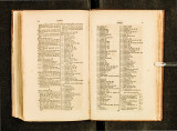
Show 284 EMIGRANT'S GUIDE. Great Miami Lawrenceburg Big-bone-lick creek .. -. :Port William, mouth of Kentucky nver Westport - - - LOUiSVILLE, Falls of Ohio river Salt river Blue river Little Blue river Sinking creek Cloveli creek Anderson's Ferry Hanging rock Green river Henderson Diamond island Wabash river Saline river Cave in the rock l-1 urricane island Cumberland river Smithland Tennessee river Fort Massac \Vilkinsonville Chain of rocks M0uth of Ohio river .. .. - - - \ Jlliles. 6 I 1059 211061 20 1 1081 3o Inn 36 1\47 20 '!167 25 1192 32 \ l224 12 12.'36 20 I t256 1 o I 1266 30 11296 3211328 30 135B 21 I 137t) 181 J 397 21 I l424 25 1449 11 1460 3 1463 35 11498 3 I 1501 101 tsu ,,811519 20 I 1539 6 1545 15 1560 NATCHEZ, see No.7, page 39; No. 27, p. 154; and No. 29, p. 156* 668 2228 NEW OJ{LEANS, see No. 7, page 39; No. 22, page 151 ; and No. 29, page 15G* 32·2 2550 The direct course from the city of New-York, to Hamilton on the bank of Aleghany river, is about .240 miles ; but as yet no. d.irect road exists or any mode of passing betweeR the two places so eltgrble as by Newburg. Tne di stance from Albany to Hamilton is very near the same as from New· York. Nothing but good roads are necessary to permit travellers to pass from the city of New-York to the western part of the state of New-York, and northwestern parts of Pennsylvania, in as short a time as the same distance can be traversed from the city of Albany. It will be seen, on inspecting the Jast route, that the len~th of th~ Ohio is only 945 miles. Hutchins made that river 1.188 m1~es; and most itineraries of the United States have the latter dJs~an.ce ms~rte of From actual survey of its banks, the Ohio measures w1thm a tnfle the amount given in this table. * The render \Vill please to .correct No. 29, p. 156, by adding 20 miles to ~a~~ aggregate distance below the mouth of Ohio. The real river traver5e, fre I;,ouis lto New Orleans, is 1209 miles. E MIGRANT'S GUIDE. 1''he Jengtb ot the Mississippi below the mouth of Ohio, is 1095 miles; making the ent ire river Jistance, from Pittsburg to the mouth of the 1\fississip pi, 20-10 miles. No. GB. J\Iuch attenti<m has been given to the two projected canals to unite the Hudson ri ver with lakes Erie and Ontario, towards the west, and with lake Champl ain and the St. L:n\'rence -river to the north of the city of Albany. Like all g're at designs, t!Je p ro mulga tion of these works excited much specul ation and but little inves igation. The practi ca bil ity or impracticability of such immense plans, ha\·e been ado pted rather from feeling than examination into the ratio of me ani to enJs. Without entering into any discussion on the subject, we beg ) e ;:~ve to present our re aders with the following sy11abus of the \Vestern Canal, ccmpilcJ from the Report of the Commi sioners who were employed by the Leg islature of the State <;>f New-York to super · intend the sun'ey of the intenued route. It may not be irrelevant to give a recapitulation of the peculiar position of the country between Albany and lake Erie. In our notice of the region compriseJ in West New-York, the pecuJjar fea tures of the country arc tlescribed, but perhaps not sufficiently explicit for the present purpose. The in tended route of the Western Canal traverses two slopes and one valley . The first slope is from Albany to Rome. The Ji s t<~ncc from Albany to Rome, is one hundred thirteen and a qua rter miles, following the canal, rising by. an acclivity of four hundred nineteen and one-third feet, from tide water in Hudson to the 8Ummit level near Rome. A short distance west of the latte'r village, a valley commences which reaches to Batavia, near the sources of the Tonnewanta creek. This valley contains the Oneida, Seneca, and Genesee river~. The Oneida and Genu see rivers flow rather acros• than down the valley. The Genesee traverses it nearly at right angles to the two forme.r streams. Near Batavia commences the western, or lake Erie slope. The Canal Commiss i<mers have rpark.ed two routes from the Tonnewanta creek to the Genesee river, designated in their Report by the relative terms "North and South routes." After detailing the distances and expense of the south route to the Genesee river, the Commissioners annex to th eir Report the following note: "Note.-Tbe route of the canal, south of the mountain ridge, will here intersect the route north of that ridge. The distance from Buffalo to .the point, eleven miles up the Tonnewanta creek, is - 27 miles, From that point to the Genesee river, on the north route, 72 JO 1-2 cbs. --·-- The whole distance in that direction is 99rn. 10 1-2ch. The distance in the direction south of the ridge is supposed to be 92 miles. The whole expense, from Buffalo to tbe point, eleven miles up the Tonnewanta, including a proportionate part of the aiJow. ance for grubbing, superintendence, &c. as estimated in 1\lr Peacock's |


