OCR Text |
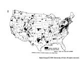
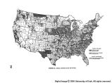
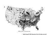
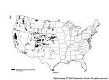
Show Chapter 7 The Need for Basic Information FUNDAMENTAL to all development and oper- ation of water resources by public or private agencies is the availability in usable form of ade- quate information about water and related land resources, as well as about the region, the com- munity, and the people to be served. Compre- hensive planning in terms of river basins requires ample data on all aspects of regional and river basin development and of the hydrologic cycle. The American people came into possession of a vast unknown continent. There was a long period of discovery of the extent and varied char- acter of the country. Information at first was hearsay, and use of its resources was developed by trial and error. It was wasteful, it was de- veloped with little consideration for the future, and was far short of possibilities. Only within the last century has there been any systematic plan for collecting the facts necessary to the technical development of water resources, includ- ing characteristics of climate, rainfall, stream flow, topography, geological structure, mineral stores, soils, .forests, ranges, fish and wildlife, hydroelectric power possibilities, and other fea- tures of the land of the United States, Alaska, and island possessions. The advance of science and technology has supplied more and more facts. Many of the best sites for hydro power dams have been used, and some of the most beneficial projects in irrigation have been developed. Fur- ther development will require more detailed and precise information for more comprehensive pro- grams. We simply do not have enough informa- tion for the best possible development of the varied resources of the country. We must obtain it at a much more rapid rate to meet enlarging requirements of an increasing population and of growing industries. We face developing crises in many areas in water supply and in related land conservation that can no longer be evaded or ignored. We need suitably scaled topographic maps, climatic maps, more knowledge of the geologic structure and mineral resources of the country, and precipi- tation records from an ample network of rain gages to show frequencies of dry and wet periods. We need stream flow records that include high and low stages over many years, a further explora- tion of ground water aquifers and storage, and maps of kinds and extent of soils and other facts about characteristics of these soils. We must make faster progress in classifying land for ca- pabilities, for the best and safest use, and for vegetal resources. We must take stock of fish and wildlife. Besides all this, we need a greater store of social and economic facts. The Commission has investigated each type of basic data from the standpoint of its impor- tance, its status, and its degree of adequacy for optimum resources development. At the same time, possible improvements in techniques to accelerate the collection and adequate interpre- tation of such data and to increase their use- fulness were taken into account. Needs for data are not the same for all projects; they vary for different areas. The first necessity is a thorough review of the factual basis required for all phases of planning, 97 |