| OCR Text |
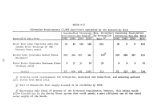
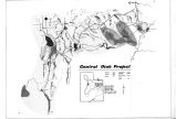
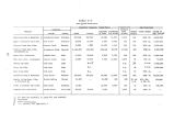
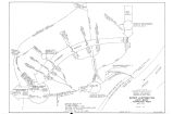
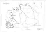
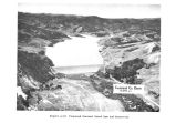
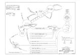
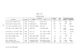
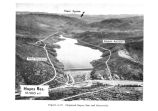
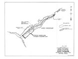
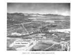
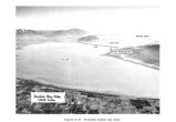
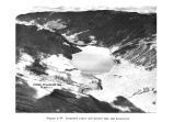
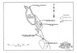
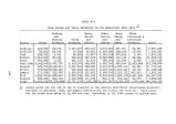
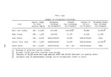
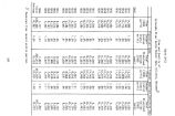
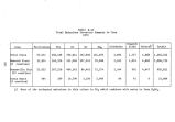
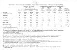
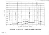
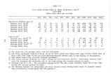
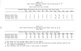
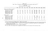
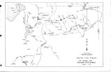
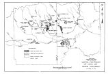
Show immediately below Soldier Creek Dam at U. S. G. S. Gaging Station No. 9- 2850. Operation of the dam would allow an average daily flow of between 4 and 7 c. f. s. Natural flows at this location range from 13 to 57 c. f. s. With the Unit, average daily flows during the winter would be reduced 75 percent, spring peak flows about 90 percent, and summer flows about 80 percent at this point on the river. Table C- 16 shows that there are significant stream gains to the river within the 2- mile reach between Soldier Creek Dam and Willow Creek during the spring and sunnier, but during the fall and winter accretion flows are negligible. ( Refer to Figures C- l through C- 3 for orientation.) Under the existing Unit plan of operation all of the flow at this point during October through April would come from the minimum release of 4- 5 c. f. s. at the dam. Table C- 17 shows that tributary inflows and stream gains from Soldier Creek Dam to the confluence with Red Creek, a distance of about 16 stream miles, amount to about 13 to 83 c. f. s. of flow. All of this gain is produced from the approximately 150- square- mile watershed between Willow Creek and Red Creek. The gain inflow during the critical winter period is 13 to 20 c. f. s. The spring and summer increases range from 21 to 83 c. f. s. The annual streamflow pattern near the junction of the river with Red Creek, with and without the effect of Unit operation, is presented in Table C- 18. At this point, 16 miles below Soldier Creek Dam, average winter flows will be 60 to 65 percent of what occurs naturally; spring flows would be 30 to 60 percent less than usual; and summer flows would be reduced about 40 percent. There are no irrigation diversions within this reach of stream. The operation of Soldier Creek Dam is expected to seriously impair the natural fish habitat in the 2- mile section of stream between the dam and tfillow Creek. However, the stream gains derived in the 14 miles downstream to Red Creek are expected to lessen fishery losses in this reach of stream as well as in the remaining 14 miles of stream leading to Starvation Reservoir. The stream habitat assessment carried out by State fishery biologists indicated that a minimum flow of 12 c. f. s. would be sufficient |


