| Title |
Annual Report of the Commissioner of Indian Affairs - 1889 |
| Subject |
Indian reservations; Federal government; Indians of North America; Indians of North America--Education; Courts; Allotment of land; Land use; Railroads; Timber; White people--Relations with Indians; Health; Annuities; Horses; Crime; Natural resources; Education; Employment (Economic theory); Work; Agriculture; Grazing; Indigenous peoples--North America |
| Keywords |
Annual Report; Indian Agency; Reservations; Land Rights; Allotment; Trade; Tribal Funds; Native Americans |
| Publisher |
Digitized by J. Willard Marriott Library, University of Utah |
| Tribe |
Ute |
| Band |
Uintah; Uncompahgre |
| Language |
eng |
| Description |
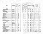
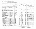
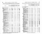
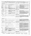
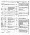
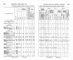
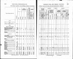
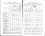
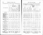
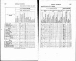
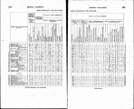
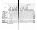
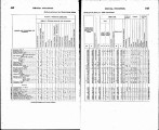
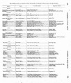
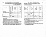
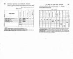
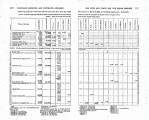
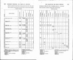
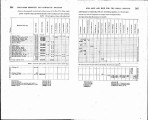
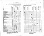
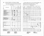
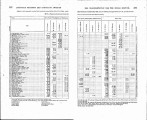
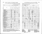
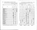
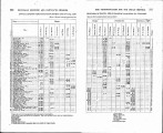
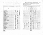
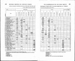
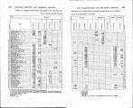
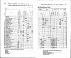
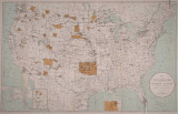
Excerpts concerning Utah from the Annual Report of the Commissioner of Indian Affairs - Courtesy of the University of Wisconsin Digital Collections. The Commissioner of Indian Affairs discusses schools in great detail, including the application and hiring process for teachers, the construction of buildings, the importance of higher education, and enrollment and performance data. The Commissioner also discusses the construction of rail lines on Indian land, cases involving depredations by Indians, and the amount of money allotted to the various tribes. The Uintah Ouray Reservation Agent reports the number of Indians living on the reservation, the distribution of rations and payments, progress in agriculture, and thefts and depredations. Ouray Agent Byrnes describes the discovery of minerals such as "gilsonite", ration distribution, the condition of buildings at the agency, and the absence of a school on the reservation |
| Type |
Text |
| Coverage |
Uintah and Ouray Indian Reservation (Utah); Utah; Washington (D.C.) |
| Format |
application/pdf |
| Rights |
Digital Image © 2011 America West Center. All Rights Reserved |
| ARK |
ark:/87278/s6n61h2z |
| Creator |
Commissioner of Indian Affairs; Byrnes, T.A. |
| Date |
1889 |
| Spatial Coverage |
Uintah and Ouray Indian Reservation (Utah); Utah; Washington (D.C.) |
| Setname |
uaida_main |
| ID |
371047 |
| Reference URL |
https://collections.lib.utah.edu/ark:/87278/s6n61h2z |


