| OCR Text |
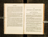
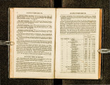
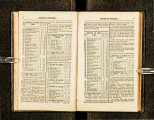
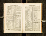
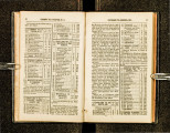
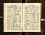
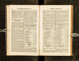
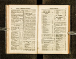
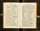
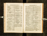
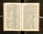
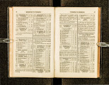
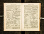
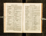
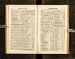
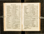
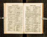
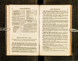
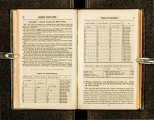
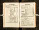
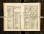
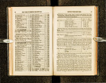
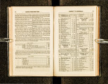
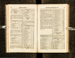
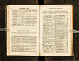
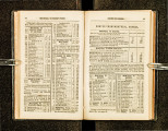
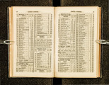
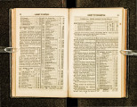
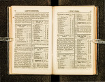
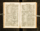
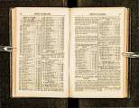
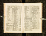
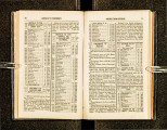
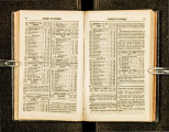
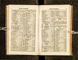
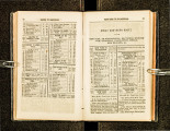
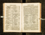
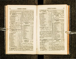
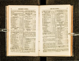
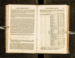
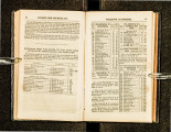
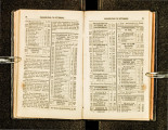
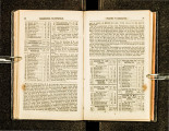
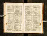
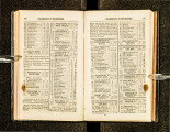
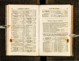
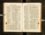
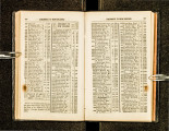
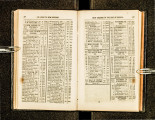
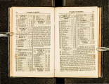
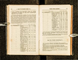
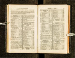
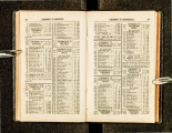
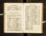
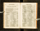
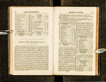
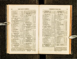
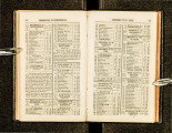
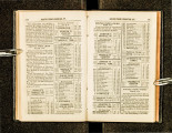
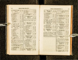
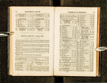
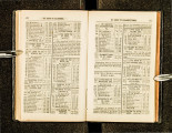
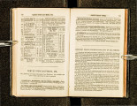
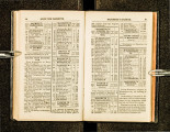
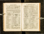
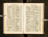
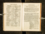
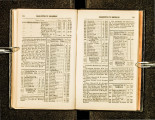
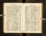
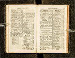
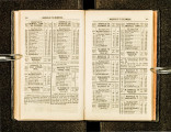
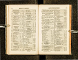
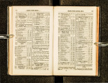
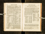
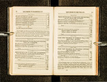
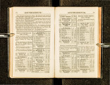
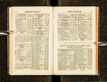
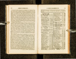
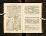
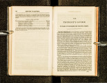
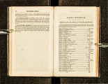
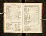
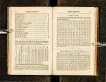
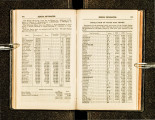
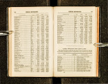
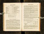
Show 178 ROUTES TO OREGON, ETC. St. Josepll is another prominent starting-place on the Missouri frontier · it is situated on the Missouri River, and may be reachPd, by steambout' from St. Louis a distance of 450 miles. The emigrant trail cro ses the ~iver, and reachbs the edge of the great Westen• plains, sevc11 miles distant. lt is marked out with the distinctness of an ordinary road. Thirty miles farther is the Indian Mission establishert by Government, which eon ·ists of a fine farm, a few log houses, store, and a school for Indian children. One kund·red and ten rniles from the Missouri the lllue Earth River is reached a clear and handsome stream of pure water, 30 feet wide. On cro ·sin~ the stream, the roacl passes over high ridges of table -lands, for 70 mile~, to Little Blue Earth River. along the beautiful valley of which it runs for about 80 miles, on leaving which, the traiJ strikes across a high range of table-lands for 20 miles, in a northern direction , reaching- the Nebraska or PJatte River Valley. 15 miles uelow }i'ort Kearn v. This fort is situated at the head of Grauel Island, in the River Piatte, 2D2 miles from St. Joseplt, and has an altitude of2,000 fi~et above the Gulf of Mexico. In passing along the North Fork of the Platte, between Ash Hollow anrl Fort Laramie, a singular formatiou of rock and sand may be seen, called the" Court-House;" it stands alone, and at a distance bea rs a close resemblance to a court-house or church. It is 200 feet square, 800 fi!et high, and has on its top what would be taken for a large dome or cupola. The next object of attraction is "Chimney Rock," which is seen at a distance of 30 miles, starHling out in bold reli e f. 1ts base is about 300 feet in diam(-!ter, which tapers off to within 100 feet of the top and then becomes square, being about 50 feet in diameter; a solid shaft of rock then ascends at leaf.lt 100 feet in to the air, maki no- a main height of 400 feet from the base. Twenty miles farth er on ~re "Scott's l3lllff.5, '' a ucautif11l rocky formation , cxtendino- three miles along the river, havin~ an e levation of between :~00 antl400°fcet. "Castle lllu_tfs" are also an attr~ctive formation of rocky hlutf, many parts of wh1ch are very fantastic and grotesque, resembling ancien t castles, palaces, forts, &c. Fort Laramie, 625 miles from St. Joseph , l\fo., is situated at the ~astern termi·nus of Laramie Val Icy, about lk miles from the PJatte. It JS . a-overnmen_t property, and consists of a building 200 feet square, With a yard In the centre. Its altitude is 4,0!)0 feet above the ocean. "Laran1ie Peak," 100 miles from Fort Laramie, can be seen at a dis. t~nce of 150 miles; its altitude is about 11,000 feet. A few miles UJ.stan_t from the S\-ve~t Water are a number of sal(IJratus lakes, some of wh1ch a:e half a mile square. ~~Independence Rock" is situated on the north sHle of. the Sw_eet Wate~, 216 miles from Fort Laramie; it is ~o~npos~d of ~0l1d gran1 to, coven ng an area of about five ac1'es, and ~ns1ng •n con!ca_l form , about. 400 feet above the level of the surroundJng country; It .1s seen at a. great distance, and hence serves as a Jandm~ ark of ~he em1grant. Ttus extraordinary rock was named by a party ot A men cans, who chanced to pass that way one Ii'ourt h of July '"'henr.e t.hey P.rocecd~d to cele~r~te the g-reat events of that period, by a suceess1on ot rcve~ll ng~, fest I v~ ties, and hilariti es, which having been concluded, t!~ey all Jn scnbed thcH _nam es, tog~ther with tile word "Iu. dcpeudence, up_on the n~ost consp1cuous portiOn of the rock: hence its name and n~tonety , wh1ch are as firmly established, by the act, its that rock of ages Jts?lf. Upwards of 5000 names are inscribed upon it. . O~t approa?h1ng th; "South Pass," the. ascent is so gradual, that it IS dtfiicult f01 the tra\eller to find the prectsc summit; yet the point of ST. lOUIS TO SACRAMENTO CITY. 17!) culmination is bet ween two hi lis, ahou t GO feet high. It is nin.elecn rniles wide, and without any gorge·like appearance. Its altitude is 7.489 feet. ST. LOUIS TO SALT From LAKE CITY, UTAH, Place From Sacra· AND SACRAMENTO to St. J~(~~~ CJTY, CAl. Place. Louis. ----------- --- 2492 ST. LOUIS to . . . . 0 0 . ~ Bear_ River (see ~ 1528 15'2 964 ~ prevwus route) ~ 8 904 Weber River, Utah 60 1588 89!) Brownsvi lie, Utah. 5 J 593 859 SALT LAKE C'Y 40 1633 188 Point of Rocks •••• 1G8 Canadian RiverH. 162 Ocate River •••.... 127 Santa Clara Spring 9B Rio Mora ......... . 79 ~ Rio Galli nas l { and Vegas . ... , \ 59 Oje de Vental . .... . 50 Pecos R. & S .Miguel 28 Pecos Vi 11 age to ... . 0 SANTA FE ..... . 90 965 20 985 6 9!)1 35 ] 026 28 11054 20 1074 20 1094 !) jll 03 22 1125 2B 1153 ~Humboldt's or ( -- -- -- 544 ~ Mary's River· · ~ 315 1948 l:~~ SANTA FE TO ST. I Jl~~ce F~~m 270 Sink of Mary's Riv. 274 2222 Fe. LOUtS. (Read up.) tlace. Louis. 146 Truckee Lake ... · . 1'24 2346 w --· 35 Johnson's, Cal., to. 111 2457 SANTA FE TO SAN ~rom 1"\ Place From o SACRAM'NTO C. 35 2492 ~~~~t~ 01 EGO AND SACRA- to. santa - -- -- City. MENTO CITY, CAL Pla<c. Fe. From SACRAMENTO C'Y Place From Sacra· TO ST lOUIS to St. men to • ' Place. Louis. City. (Read up.) From Santa Fe. ST. LOUIS. MO., TO SANTA FE, N. M. Pla(."e From to St. Place. Louis. -- --------- -- -- 1153 ST. LOUIS to ... · 0 862 INDEPENDENCE· · · · · 291 Caravan Ro-ute to 850 Westport.......... 12 827 Round Grove... . . . 23 7!)fj Narrows ........ · · 31 713 Big John Spring... 83 71 1 Co unci I Grove. . . . . 2 fi96 Diamond Spring... 15 681 Lost Spring ... ·. . . 15 ti69 Cottonwood Creek. 12 644 Turkey Creek. . . . . 25 627 Little Arkansas ... 17 G07 Cow Creek ... ·. . . . 20 ~)91 Arl\ansas River... . 16 583 Walnut Creek..... 8 .564 Ash Creek. . . . . . . . . 19 558 Pawnee Fork. . . • . . 6 489 Caches ....... ·... . 69 4G3 Fort. Arkansas.... 26 427 Arkausas Crossing 36 362 Cjmmaron River .. ti5 328 Middle Spring. . . . . 34 298 Willow Bar ......• · 30 278 Cold Spnng... • . . . 20 0 291 303 326 357 440 442 457 472 484 509 5'26 54() 5G2 570 589 595 664 ti90 726 791 825 855 875 Gila Route. 1837 SANTA FE to.... 0 \ San Felipe, on l 1807 1 Rio Del Norte. ~ 30 1772 Albllquerque ... ·.. 35 1722 Socorro . . . . . . . . . . . 50 JG681Consul Bend ....... 54 J5f)3 Copper Mines ... ·. 75 15281Rio Gila ........ ·· 65 1028 Pimos Village ..... 500 1012 Mouth of Rio Gila. 16 J002 Colorado Cro~sing. 10 90~JornarJo, or Desert . 100 83ZjFirst Rancho in Cal f.i5 822 Santa Isahella.. . . . 15 I ~ SAN DIEGO l 7921 ~(Pacific Shore). ~ 30 752 San Luis Rey .... · · 40 { PuEnLA DE LOS l 652 ANGELOS (or, 100 City of Angels) 552 Santa Barbara .... 100 212 MONTEREV · · · · · · • · 340 197 Rio Salines. . • • . . . . 15 112 San Joaquin...... 85 100 Rio Tualumne..... 12 90 St.anislas to....... 10 0 SACRAM'NTO C. 90 0 30 65 115 169 244 309 809 825 83.5 935 1000 1015 1045 1085 1185 1285 1625 1640 1725 1737 1747 1837 Fro; SAC RAM ENTQ C'Y Plnc; From !aec~~~ TO SANTA FE. Pl~e. s;:_ta City. (Read up.) |


