| Title |
Annual Report of the Commissioner of Indian Affairs - 1902 (Pt I) |
| Subject |
Indian reservations; Federal government; Indians of North America; Indians of North America--Education; Courts; Allotment of land; Land use; Railroads; Timber; White people--Relations with Indians; Health; Annuities; Horses; Crime; Missionaries; Irrigation; Grazing; Alcohol; Livestock; Water rights; Indians of North America--Clothing; Natural resources; Culture; Clothing and dress; Education; Treaties; Religion; Work; Agriculture; Employment (Economic theory); Indigenous peoples--North America |
| Keywords |
Annual Report; Indian Agency; Reservations; Tribal Funds; Allotment; Land Rights; Mining; Trade; Indian; White Relations; Inter-tribal Relations; Native Americans |
| Publisher |
Digitized by J. Willard Marriott Library, University of Utah |
| Language |
eng |
| Description |
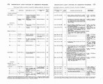
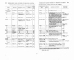
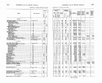
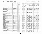
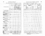
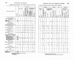
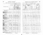
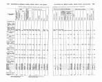
Excerpts concerning Utah from the Annual Report of the Commissioner of Indian Affairs - Courtesy of the University of Wisconsin Digital Collections. The Commissioner of Indian Affairs describes the need to pass federal Indian policy in order to develop a sense of self-reliance and encourage "industrious habits" on reservations and provides the demographic data needed to determine congressional appropriations. The Commissioner also discusses enrollment and performance at schools, the need for a well-developed agricultural and industrial education, and the importance of encouraging good hygiene in boarding schools in order to avoid the spreading of disease. The Commissioner provides reports regarding the development of the railroads |
| Type |
Text |
| Coverage |
Washington (D.C.) |
| Format |
application/pdf |
| Rights |
Digital Image © 2011 America West Center. All Rights Reserved |
| ARK |
ark:/87278/s6ff6p2g |
| Creator |
Commissioner of Indian Affairs; Jones, William A. |
| Date |
1902 |
| Spatial Coverage |
Utah; Washington (D.C.) |
| Setname |
uaida_main |
| ID |
374024 |
| Reference URL |
https://collections.lib.utah.edu/ark:/87278/s6ff6p2g |


