| Title |
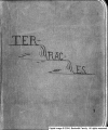
Terraces Scrapbook |
| Identifier |
terraces.xml |
| Subject |
Terraces (Geology)--Utah; Bonneville, Lake; Mountains--Utah; Rock formations |
| Description |
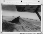
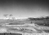
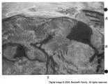
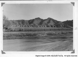
Scrapbook by Frank A. Beckwith. A set of photographs of various terraces in western Utah, with descriptive captions describing the setting and the occasions on which photos were taken. Many of these terraces were old shorelines of Lake Bonneville. Includes a road map with terraces drawn in. Terraces described include those at Leamington, Tatow Knob (House Range), Reservoir Butte, Cup Butte, Quartzite Butte, and others |
| Spatial Coverage |
Millard County (Utah); Bonneville, Lake |
| Creator |
Beckwith, Frank Asahel, 1876-1951 |
| Publisher |
Hosted by J. Willard Marriott Library, University of Utah |
| Type |
Text |
| Format |
application/pdf |
| Source |
Terraces scrapbook |
| Language |
eng |
| Relation |
Frank Asahel Beckwith Collection |
| Rights Management |
Digital image copyright 2003, Beckwith Family. All rights reserved |
| Holding Institution |
Delta City Library |
| Source Material |
Scrapbook |
| Source Physical Dimensions |
26cm x 33cm |
| ARK |
ark:/87278/s6jt2kk5 |
| Setname |
dc_bpc |
| ID |
126245 |
| Reference URL |
https://collections.lib.utah.edu/ark:/87278/s6jt2kk5 |
| Title |
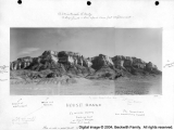
Reservoir Butte |
| Identifier |
076T |
| Subject |
Terraces; Mountains; Rock formations; Lakes and pondss |
| Description |
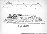
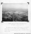
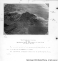
Road instructions to Reservoir Butte, Cup Butte and The Snowplow. |
| OCR Text |
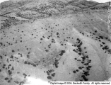
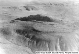
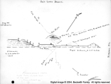
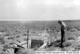
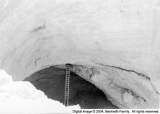
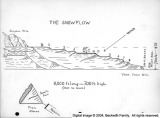
Show Road Instructions for going to Reservoir utte up putte The Snowplow EIGHT TERRACES VISIBLE Our next location to view wave-worn terraces will be at the morth end of the old river hed on the Pony xpress road from Lehi to airfield to Faust to Simpson Springs to Riverbed Station The usual service station road mip of Utah will serve for that route for visitation from the morth cement mrker erectadfew score foet north of the road will identify Riverhed Seation Reservoir putte is the large mass immediately south If there is military activity at the tugway Proving Gromnds pet permiseion to enter first It has been closed to civilians There are three ways of goine by auto First as given anove Second Go on Hirhway 91 to Santaouing then No to urela thence to Jericho thence west past Indian Creek md Roskwell ranch contimne west past the tip of the Desert Monntains before von will be the lowest lind which vou will lainly oheerve Ston at the reservoir indrouth year it may be dry but mud stains on the side will identify it Onlya dim score or 5o of feet from the west end of the reservoir road will be men leading north Take it infew minntesmetal building overwell will be seen on the left west You will Kknow then that you are on the right road Tt follows the lowest contour for the length of the old river bed past the Snownlow which isimmense yoneanmistake it with eight terraces visihle Tt takesbetter photo from the morth than from the muth G0 ast it and take what pictures yon want It is 700 feet hish Digital image 2004 Beckwith Family Al rights reserved |
| Spatial Coverage |
Millard County (Utah); Juab County (Utah) |
| Type |
Image |
| Format |
application/pdf |
| Format Creation |
image/tiff |
| Coverage |
Utah |
| Source Material |
Terraces Scrapbook |
| Archival Resolution |
Archival TIFF: 3000 x 4600 |
| Low Resolution |
JPEG: 800 x 600 |
| Bit Depth |
8-bit |
| Scanning Device |
Creo-Scitex Eversmart Jazz+ flatbed scanner |
| Setname |
dc_bpc |
| ID |
125457 |
| Reference URL |
https://collections.lib.utah.edu/ark:/87278/s6jt2kk5/125457 |


