| Title |
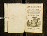
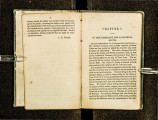
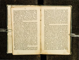
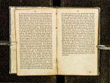
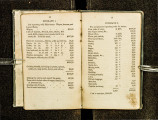
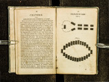
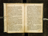
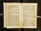
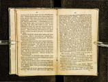
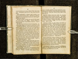
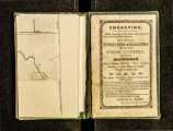
The emigrants' guide to California : containing every point of information for the emigrant -- including routes, distances, water, grass, timber, crossing of rivers, passes, altitudes, with a large map of routes, and profile of country, &c., with full directions for testing and assaying gold and other ores |
| Call Number |
F593 .W26; Record ID 99195620102001 |
| Date |
1849 |
| Description |
The California gold rush was one of the biggest news stories of the nineteenth century. The demand for information about California and how to get there was insatiable. Between 1848 and 1853, material on the overland trails flowed from printing presses like the proverbial gold from the hills. The author of this guide, Joseph Ware, never made the overland trip himself, but compiled information from various contemporary published sources, including the reports of John C. Fremont |
| Creator |
Ware, Joseph E. |
| Publisher |
Digitized by J. Willard Marriott Library, University of Utah |
| Subject |
West (U.S.) -- Guidebooks; West (U.S.) -- Description and travel; Overland journeys to the Pacific; California--Description and travel |
| Type |
Text |
| Format |
application/pdf |
| Identifier |
F593-_W26.pdf |
| Language |
eng |
| Spatial Coverage |
West, United States; California, United States |
| Collection Name |
Rare Books Collection |
| Holding Institution |
Rare Books Division, Special Collections, J. Willard Marriott Library, University of Utah |
| Rights |
 |
| Scanning Technician |
Ellen Moffatt |
| Digitization Specifications |
Original scanned with Hasselblad H2D 39 megapixel digital camera and saved as 600 ppi tiffs. Display images created in Adobe Photoshop Lightroom 5 and generated in Adobe Acrobat ProX as multiple page pdf. |
| ARK |
ark:/87278/s6qj9jw7 |
| Setname |
uum_rbc |
| ID |
308918 |
| Reference URL |
https://collections.lib.utah.edu/ark:/87278/s6qj9jw7 |


