| Title |
National Geographic magazine, volume 87, no. 6 (June 1945) |
| Alternate Title |
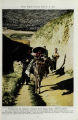
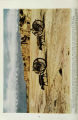
China fights erosion with U.S. aid; Stilwell Road, land route to China; Tai Shan, sacred mountain of the East |
| Scanning Technician |
Will Crissy |
| Collection Number and Name |
Accn1107 bx 7 fd 02 |
| Description |
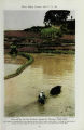
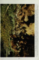
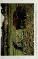
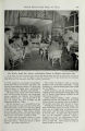
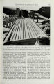
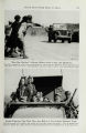
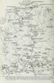
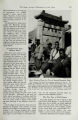
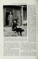
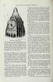
Magazine with several articles on China: (1) China fights erosion with U.S. aid / by Walter C. Lowdermilk (pp. 641-680); (2) Stilwell Road, land route to China / by Nelson Grant Tayman (pp. 681-698); (3) Tai Shan, sacred mountain of the East / by Mary Augusta Mullikin (pp. 699-719) |
| Creator |
Lowdermilk, W. C. (Walter Clay), 1888-1974; Tayman, Nelson Grant; Mullikin, Mary Augusta, 1874- |
| Subject |
Soil conservation--China; China--Economic conditions; Agricultural assistance--China; Roads--China; World War,--1939-1945--China; World War,--1939-1945--Transportation--China; Mountains--Religious aspects--China |
| Digitization Specifications |
Original scanned on Epson Expression 10000 XL and saved as 400 ppi TIFF. Display image generated in CONTENTdm Publisher: Digitized by: J. Willard Marriott Library, University of Utah |
| Publisher |
Digitized by J. Willard Marriott Library, University of Utah |
| Date |
1945-06 |
| Format |
application/pdf |
| Type |
Text |
| Identifier |
1107-07-02 (National Geographic, 1945) |
| Language |
eng |
| Rights Management |
This material may be protected by copyright. Permission required for use in any form. For further information please contact the Manuscripts Division, Special Collections, J. Willard Marriott Library, University of Utah. |
| ARK |
ark:/87278/s6jw8fkg |
| Setname |
uum_sbts |
| ID |
1015978 |
| Reference URL |
https://collections.lib.utah.edu/ark:/87278/s6jw8fkg |