| OCR Text |
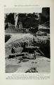
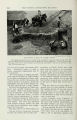
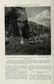
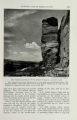
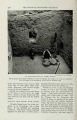
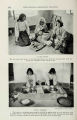
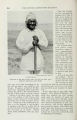
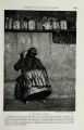
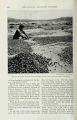
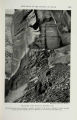
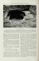
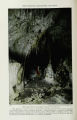
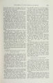
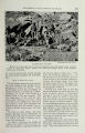
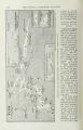
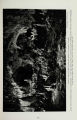
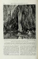
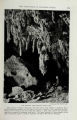
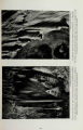
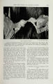
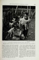
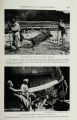
Show 232 THE NATIONAL GEOGRAPHIC MAGAZINE Drawn by James M. Dailey A SKETCH MAP OE NEW MEXICO AND EASTERN ARIZONA In the northwest corner of New Mexico is the Chaco Canyon National Monument, within which is Pueblo Bonito, scene of five years of exploration by the National Geographic Society. Just across the State border lies the Canon del Muerto (see Earl H. Morris' article in this number of the NATIONAL GEOGRAPHIC MAGAZINE). At the foot of the Guadalupe Range, in the southeast corner of New Mexico, is Carlsbad Cavern, scene of labor of another National Geographic Society expedition (see pages 301 to 319). staple foods of our prehistoric, sedentary Americans-were intensively cultivated. And, if we may judge by modern Pueblo practices, the colorful clan ceremonies periodically performed by these farmers of the long ago had for their fundamental purpose the propitiation of tribal gods to the end that more bountiful harvests might be brought about. THE WIFE WAS THE HEAD OE THE HOUSEHOLD Historians of the Old World offer convincing argument that irrigation originated on the sandy borders of the Nile and the Euphrates. Whether this be true or not, it is well known that similar methods of crop production were developed in our own arid Southwest by Indians who had never heard of the Egyptian Pharaohs or the splendors of forgotten Babylon. Irrigation was practiced by the people who lived at Pueblo Bonito. We know this, and yet positive proof is lacking. No definite trace has yet been found there of ditches or acequias for the distribution of water. Canals were hand dug by the primitive farmers of the Gila and Salt River valleys, in southern Arizona, long before Coronado led his conquistadores |