| Title |
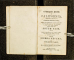
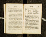
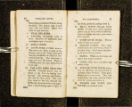
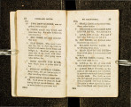
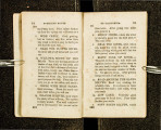
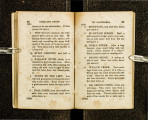
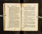
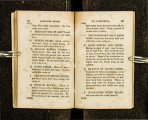
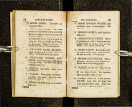
Overland route to California, description of the route, via Council Bluffs, Iowa: keeping the north side of the Platte River for the whole of the distance, lying near that stream, thence over the South Pass via the great Sublette and Bear River cut-offs, and the Truckee river road, over the Sierra Nevada to Sacramento Valley |
| Call Number |
F593 .C5; Record ID 9931080102001 |
| Date |
1852 |
| Description |
Andrew Child traveled to California in 1850 and sent a copy of his journal home to Wisconsin from Nevada City in December of that year. Two years later, the journal was published as a guide |
| Creator |
Child, Andrew |
| Publisher |
Digitized by J. Willard Marriott Library, University of Utah |
| Subject |
West (U.S.) -- Guidebooks; West (U.S.) -- Description and travel; Overland journeys to the Pacific |
| Type |
Text |
| Format |
application/pdf |
| Identifier |
F593-_C5.pdf |
| Language |
eng |
| Spatial Coverage |
West, United States; California, United States |
| Collection Name |
Rare Books Collection |
| Holding Institution |
Rare Books Division, Special Collections, J. Willard Marriott Library, University of Utah |
| Rights |
 |
| Scanning Technician |
Ellen Moffatt |
| Digitization Specifications |
Original scanned with Hasselblad H2D 39 megapixel digital camera and saved as 600 ppi tiffs. Display images created in Adobe Photoshop Lightroom 5 and generated in Adobe Acrobat ProX as multiple page pdf. |
| ARK |
ark:/87278/s6vb09pd |
| Setname |
uum_rbc |
| ID |
309582 |
| Reference URL |
https://collections.lib.utah.edu/ark:/87278/s6vb09pd |


