1 - 25 of 193
Number of results to display per page
TitleDateType
1 Assiniboin Indians1839-11-15Image
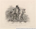
2 Blackfoot Indian on Horseback1840-02-01Image
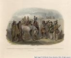
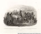
3 Travellers Meeting with Minatarre Indians, Near Fort Clark1842-07-01Image
4 Travellers Meeting with Minatarre Indians, Near Fort Clark1842-07-01Image
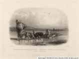
5 Dog-Sledges of the Mandan Indians1840-06-01Image
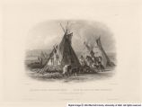
6 Skin Lodge of an AssiniboinImage
7 Mexkemahuastan, Chief of the Gros-Ventres des Prairies1840-01-01Image
8 Abdih-Hiddisch, A Minatarre Chief1841-07-01Image
9 Horse Racing of the Sioux Indians, Near Fort Pierre1841-10-01Image
10 Mandeh-Pahchu, A Young Mandan Indian1840-11-01Image
11 Pachtuwa-Chta, An Arrikarra Warrior1839-08-01Image
12 Pehriska-Ruhpa, A Minatarre or big-bellied Indian1839-01-01Image
13 Mato-Tope, Adorned with the Insignia of his Warlike Deeds1839-01-01Image
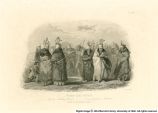
14 Ischoha-Kakoschochata, Dance of the Mandan Indians1840-11-01Image
15 Ptihn-Tak-Ochata, Dance of the Mandan Women1839-01-01Image
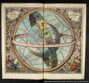
16 A Brahean depiction of the world's structure.1661Image
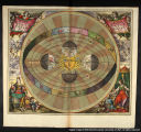
17 A depiction of the Copernican system.1661Image
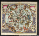
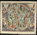
18 The ancient northern constellations.1661Image
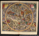
19 The ancient southern constellations.1661Image
20 The Earth and its celestial circles.1661Image
21 First hemisphere with the Christian constellations.1661Image
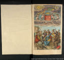
22 Frontispiece : Celestial Atlas or Harmonia Macrocosmica1661Image
23 Hemispheres displaying (1) the equatorial co-ordinate system and the eliptic co-ordinte system, (2) the celestial and terrestrial longitudes, and (3) the influrences of the stars.1661Image
24 Image of the aspects, oppositions, conjunctions, etc. among the planets.1661Image
25 Map of Park City Mines, including Uintah, Blue Ledge, Snake Creek, American Fork, and Big and Little Cottonwood mining districts, Utah1908Image
1 - 25 of 193