| Title | Date | Type | Setname | ||
|---|---|---|---|---|---|
| 101 |
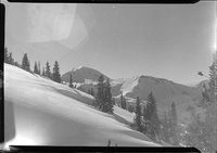 |
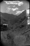
Mount Baldy from near Albion Hut, on the way to the hut (Negative) | 1949-02-21 | uum_map_usa | |
| 102 |
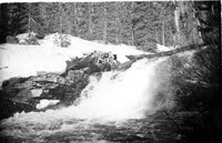 |
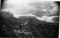
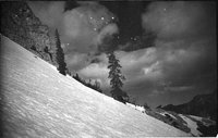
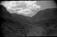
Mountain cascade | 1937; 1938; 1939; 1940; 1941 | uum_map_usa | |
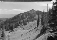
| 103 |
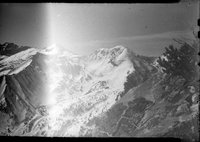 |
Mountain view (Negative) [1] | 1946; 1947; 1948; 1949; 1950; 1951; 1952; 1953; 1954; 1955 | uum_map_usa | |
| 104 |
 |
Near Albion Hut looking south south west into Dry Creek | 1948-09-05 | uum_map_usa | |
| 105 |
 |
Near Albion Hut looking south south west into Dry Creek (Negative) | 1948-09-05 | uum_map_usa | |
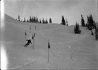
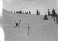
| 106 |
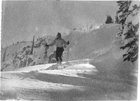 |
Not enough speed for a turn at Albion Pass, 28 November 1948 | 1948-11-28 | uum_map_usa | |
| 107 |
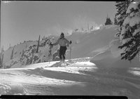 |
Not enough speed for a turn at Albion Pass, 28 November 1948 (Negative) | 1948-11-28 | uum_map_usa | |
| 108 |
 |
old mine building in Alta; torn down 1941 to make ice skating rink | 1937; 1938; 1939; 1940; 1941 | uum_map_usa | |
| 109 |
 |
On way up Cardiff. Little Kandahar Race of 1941 ran down into gully at base of a long line of tree | 1941 | uum_map_usa | |
| 110 |
 |
Pat Kearns at Snow Cup trials, Alta, December 1947 | 1947-12 | uum_map_usa | |
| 111 |
 |
Pat Kearns at Snow Cup trials, Alta, December 1947 (Negative) | 1947-12 | uum_map_usa | |
| 112 |
 |
Paul Schenks, upper basin, December | 1937; 1938; 1939; 1940; 1941 | uum_map_usa | |
| 113 |
 |
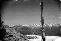
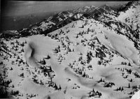
Peruvian Gulch and American Fork Twins, Hidden Peak first at left | 1938; 1939; 1940; 1941 | uum_map_usa | |
| 114 |
 |
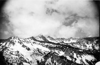
Pfeiferhorn recognizable, American Fork Twins to right | 1938; 1939; 1940; 1941 | uum_map_usa | |
| 115 |
 |
Pfeiferhorn, heads of all canyons West of Gad Valley | 1938; 1939; 1940; 1941 | uum_map_usa | |
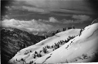
| 116 |
 |
Powder under the Baldy Cliffs | 1937; 1938; 1939; 1940; 1941 | uum_map_usa | |
| 117 |
 |
Powder under the Baldy cliffs, June 18, 1939 | 1939-06-18 | uum_map_usa | |
| 118 |
 |
Relict trees protected from slides by cliff above (no couloir), Baldy looking West to shoulder | 1937; 1938; 1939; 1940; 1941 | uum_map_usa | |
| 119 |
 |
Ridge between Sunset Peak and Devil's Castle | 1937; 1938; 1939; 1940; 1941 | uum_map_usa | |
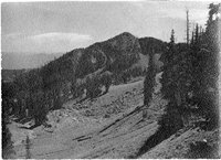
| 120 |
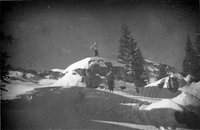 |
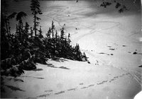
Rocks not yet fully covered | 1937; 1938; 1939; 1940; 1941 | uum_map_usa | |
| 121 |
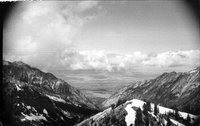 |
Salt Lake Valley down Little Cottonwood Canyon | 1937; 1938; 1939; 1940; 1941 | uum_map_usa | |
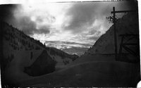
| 122 |
 |
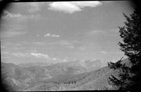
Scenic view (Negative) | 1935; 1936; 1937; 1938; 1939; 1940; 1941; 1942; 1943; 1944; 1945; 1946; 1947; 1948; 1949; 1950 | uum_map_usa | |
| 123 |
 |
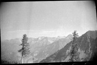
Scenic view (Negative) | 1935; 1936; 1937; 1938; 1939; 1940; 1941; 1942; 1943; 1944; 1945; 1946; 1947; 1948; 1949; 1950 | uum_map_usa | |
| 124 |
 |
Scenic view (Negative) | 1935; 1936; 1937; 1938; 1939; 1940; 1941; 1942; 1943; 1944; 1945; 1946; 1947; 1948; 1949; 1950 | uum_map_usa | |
| 125 |
 |
Scenic view (Negative) | 1935; 1936; 1937; 1938; 1939; 1940; 1941; 1942; 1943; 1944; 1945; 1946; 1947; 1948; 1949; 1950 | uum_map_usa |