TO
Filters: Collection: uum_map*
| Title | Date | Type | Setname | ||
|---|---|---|---|---|---|
| 726 |
 |
"Hatch boatman" (unidentified) | 1955; 1956 | Image | uum_map_rr |
| 727 |
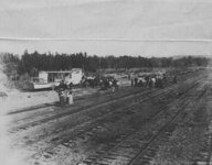 |
"Hauling UNDINE to River at Green River City, Utah" | 1901-11 | Image | uum_map_rr |
| 728 |
 |
"He missed his calling." A young boy using a saw on a large wooden plank | 1910; 1911; 1912; 1913; 1914; 1915; 1916; 1917; 1918; 1919; 1920; 1921; 1922; 1923; 1924; 1925; 1926; 1927; 1928; 1929; 1930; 1931; 1932; 1933; 1934; 1935; 1936; 1937; 1938; 1939; 1940; 1941; 1942; 1943; 1944; 1945; 1946; 1947; 1948; 1949; 1950; 1951; 195 | uum_map_rr | |
| 729 |
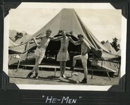 |
"He-men" | 1932; 1933 | uum_map | |
| 730 |
 |
"Head of South Desert country. San Rafael seen in the dim distance." | 1920; 1921; 1922; 1923; 1924; 1925; 1926; 1927; 1928; 1929; 1930; 1931; 1932; 1933; 1934; 1935; 1936; 1937; 1938; 1939; 1940; 1941; 1942; 1943; 1944; 1945; 1946; 1947; 1948; 1949 | Image | uum_map_rr |
| 731 |
 |
"Head of South Desert country. San Rafael seen in the dim distance." | 1920; 1921; 1922; 1923; 1924; 1925; 1926; 1927; 1928; 1929; 1930; 1931; 1932; 1933; 1934; 1935; 1936; 1937; 1938; 1939; 1940; 1941; 1942; 1943; 1944; 1945; 1946; 1947; 1948; 1949 | Image | uum_map_rr |
| 732 |
 |
"Head of South Desert country. San Rafael seen in the dim distance." | 1920; 1921; 1922; 1923; 1924; 1925; 1926; 1927; 1928; 1929; 1930; 1931; 1932; 1933; 1934; 1935; 1936; 1937; 1938; 1939; 1940; 1941; 1942; 1943; 1944; 1945; 1946; 1947; 1948; 1949 | Image | uum_map_rr |
| 733 |
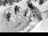 |
"Hellgate" slide which buried many cars | 1948 | Image | uum_map_usa |
| 734 |
 |
"Herbert, 15 AAF." | 1942; 1943; 1944; 1945; 1946 | uum_map | |
| 735 |
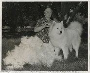 |
"Herdsman's Chattigan." | 1942-12 | Image | uum_map |
| 736 |
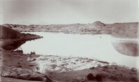 |
"Hermit Lake in western San Juan Co., Utah. 12 miles east of Colorado River, 1/4 mile wide and 1/2 mile long. The Henry Mountains, faintly seen, 75 miles distant." This lake was on the famous Hole-in-the-Rock trail. The natural dam failed in 1914? The lake no longer exists. | 1890; 1891; 1892; 1893; 1894; 1895; 1896; 1897; 1898; 1899; 1900 | Image | uum_map_rr |
| 737 |
 |
"Hey mom, I just traded my britches in for skis and boots!" | 1940; 1941; 1942; 1943; 1944; 1945 | uum_map_usa | |
| 738 |
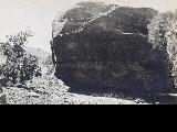 |
"Hieroglyphics on a rock." Large rock covered with petroglyphs at Florence Creek | 1910; 1911; 1912; 1913; 1914; 1915; 1916; 1917; 1918; 1919; 1920; 1921; 1922; 1923; 1924; 1925; 1926; 1927; 1928; 1929; 1930; 1931; 1932; 1933; 1934; 1935; 1936; 1937; 1938; 1939; 1940; 1941; 1942; 1943; 1944; 1945; 1946; 1947; 1948; 1949; 1950; 1951; 195 | uum_map_rr | |
| 739 |
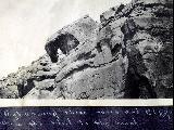 |
"High (among) these rocks and cliffs winds the trail to the ranch." Trail up Florence Creek | 1910; 1911; 1912; 1913; 1914; 1915; 1916; 1917; 1918; 1919; 1920; 1921; 1922; 1923; 1924; 1925; 1926; 1927; 1928; 1929; 1930; 1931; 1932; 1933; 1934; 1935; 1936; 1937; 1938; 1939 | uum_map_rr | |
| 740 |
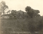 |
"Hill Cumorah from the meadow, Sunday Sept 23, 1923." | 1923-09-23 | uum_map | |
| 741 |
 |
"Hill Cumorah where the Book of Mormon was found." | 1924; 1925; 1926; 1927; 1928 | uum_map | |
| 742 |
 |
"Hills near Johnson's Canyon." | 1909-09-16 | uum_map | |
| 743 |
 |
"Hills near Johnson's Canyon." | 1909-09 | uum_map | |
| 744 |
 |
"Hills near Johnson's Canyon." | 1909-09 | uum_map | |
| 745 |
 |
"Hills near Johnson's Canyon." | 1909-09 | uum_map | |
| 746 |
 |
"Holding Breath"contest pool | 1957; 1958; 1959; 1960; 1961; 1962 | uum_map_rr | |
| 747 |
 |
"Holding Breath"contest pool | 1957; 1958; 1959; 1960; 1961; 1962 | uum_map_rr | |
| 748 |
 |
"Holding Breath"contest pool | 1957; 1958; 1959; 1960; 1961; 1962 | uum_map_rr | |
| 749 |
 |
"Hole in the Rock, mile 84.5." | 1951-05-14 | uum_map_rr | |
| 750 |
 |
"Hole in the Wall" at top, looking down | 1942-04-15 | uum_map_rr |
