Home
Browse
Ask Us
Chat
Harmful Language Statement
Log in
Institutional Repository
Advanced Search
Year
1952
1953
1954
1955
1956
1957
1958
1959
1960
1961
1962
1963
1964
1965
1966
1967
1968
1969
1970
1971
1972
1973
1974
1975
1976
1977
1978
1979
1980
1981
1982
1983
1984
1985
1986
1987
1988
1989
1990
1991
1992
1993
1994
1995
1996
1997
1998
1999
2000
2001
2002
2003
2004
2005
2006
2007
2008
2009
2010
2011
2012
2013
2014
2015
TO
1952
1953
1954
1955
1956
1957
1958
1959
1960
1961
1962
1963
1964
1965
1966
1967
1968
1969
1970
1971
1972
1973
1974
1975
1976
1977
1978
1979
1980
1981
1982
1983
1984
1985
1986
1987
1988
1989
1990
1991
1992
1993
1994
1995
1996
1997
1998
1999
2000
2001
2002
2003
2004
2005
2006
2007
2008
2009
2010
2011
2012
2013
2014
2015
Type
Text
1,084
Dataset
242
Image
10
Format
application/pdf
1,415
image/jpeg
106
application/vnd.ms-excel
4
application/vnd.ms-powerpoint
3
application/zip
1
Collection
Electronic University Archive
1,519
Electronic University Archive (Restri...
5
Institute for Clean and Secure Energy...
3
Theses & Dissertations
2
Filters:
Research Institute:
"Institute for Clean and Secure Energy (ICSE)"
1426
-
1450
of
1,529
<
53
54
55
56
57
58
59
60
61
62
>
Gallery view
Number of results to display per page
10
25
50
100
200
Sort by Relevance
Sort by Title A-Z
Sort by Title Z-A
Sort by Date Ascending
Sort by Date Descending
Sort by Last Modified Ascending
Sort by Last Modified Descending
Title
Date
Type
Setname
1426
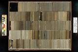
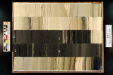
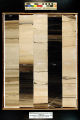
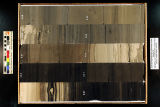
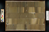
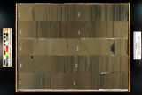
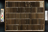
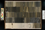
Skyline 16: SW SW sec. 10 11S 25E Uintah County, Utah. Box 74 Depth: 750.0 - 760.0 ft.
2015-07
ir_eua
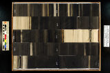
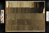
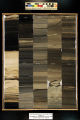
1427
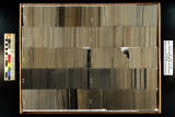
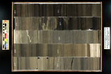
Skyline 16: SW SW sec. 10 11S 25E Uintah County, Utah. Box 75 Depth: 760.0 - 770.0 ft.
2015-07
ir_eua
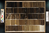
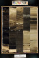
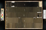
1428
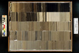
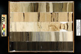
Skyline 16: SW SW sec. 10 11S 25E Uintah County, Utah. Box 76 Depth: 770.0 - 780.0 ft.
2015-07
ir_eua
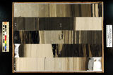
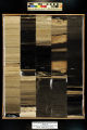
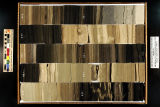
1429
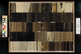
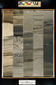
Skyline 16: SW SW sec. 10 11S 25E Uintah County, Utah. Box 77 Depth: 780.0 - 790.0 ft.
2015-07
ir_eua
1430
Skyline 16: SW SW sec. 10 11S 25E Uintah County, Utah. Box 78 Depth: 790.0 - 800.0 ft.
2015-07
ir_eua
1431
Skyline 16: SW SW sec. 10 11S 25E Uintah County, Utah. Box 79 Depth: 800.0 - 810.0 ft.
2015-07
ir_eua
1432
Skyline 16: SW SW sec. 10 11S 25E Uintah County, Utah. Box 8 Depth: 90.0 - 100.0 ft.
2015-07
ir_eua
1433
Skyline 16: SW SW sec. 10 11S 25E Uintah County, Utah. Box 80 Depth: 810.0 - 820.0 ft.
2015-07
ir_eua
1434
Skyline 16: SW SW sec. 10 11S 25E Uintah County, Utah. Box 81 Depth: 820.0 - 830.0 ft.
2015-07
ir_eua
1435
Skyline 16: SW SW sec. 10 11S 25E Uintah County, Utah. Box 82 Depth: 830.0 - 840.0 ft.
2015-07
ir_eua
1436
Skyline 16: SW SW sec. 10 11S 25E Uintah County, Utah. Box 83 Depth: 840.0 - 850.0 ft.
2015-07
ir_eua
1437
Skyline 16: SW SW sec. 10 11S 25E Uintah County, Utah. Box 84 Depth: 850.0 - 860.0 ft.
2015-07
ir_eua
1438
Skyline 16: SW SW sec. 10 11S 25E Uintah County, Utah. Box 85 Depth: 860.0 - 870.0 ft.
2015-07
ir_eua
1439
Skyline 16: SW SW sec. 10 11S 25E Uintah County, Utah. Box 86 Depth: 870.0 - 880.0 ft.
2015-07
ir_eua
1440
Skyline 16: SW SW sec. 10 11S 25E Uintah County, Utah. Box 87 Depth: 880.0 - 890.0 ft.
2015-07
ir_eua
1441
Skyline 16: SW SW sec. 10 11S 25E Uintah County, Utah. Box 88 Depth: 890.0 - 900.0 ft.
2015-07
ir_eua
1442
Skyline 16: SW SW sec. 10 11S 25E Uintah County, Utah. Box 89 Depth: 900.0 - 910.0 ft.
2015-07
ir_eua
1443
Skyline 16: SW SW sec. 10 11S 25E Uintah County, Utah. Box 9 Depth: 100.0 - 110.0 ft.
2015-07
ir_eua
1444
Skyline 16: SW SW sec. 10 11S 25E Uintah County, Utah. Box 90 Depth: 910.0 - 920.0 ft.
2015-07
ir_eua
1445
Skyline 16: SW SW sec. 10 11S 25E Uintah County, Utah. Box 91 Depth: 920.0 - 930.0 ft.
2015-07
ir_eua
1446
Skyline 16: SW SW sec. 10 11S 25E Uintah County, Utah. Box 92 Depth: 930.0 - 940.0 ft.
2015-07
ir_eua
1447
Skyline 16: SW SW sec. 10 11S 25E Uintah County, Utah. Box 93 Depth: 940.0 - 950.0 ft.
2015-07
ir_eua
1448
Skyline 16: SW SW sec. 10 11S 25E Uintah County, Utah. Box 94 Depth: 950.0 - 960.0 ft.
2015-07
ir_eua
1449
Skyline 16: SW SW sec. 10 11S 25E Uintah County, Utah. Box 95 Depth: 960.0 - 970.0 ft.
2015-07
ir_eua
1450
Skyline 16: SW SW sec. 10 11S 25E Uintah County, Utah. Box 96 Depth: 970.0 - 980.0 ft.
2015-07
ir_eua
1426
-
1450
of
1,529
<
53
54
55
56
57
58
59
60
61
62
>