Home
Browse
Ask Us
Chat
Harmful Language Statement
Log in
Institutional Repository
Advanced Search
Year
1952
1953
1954
1955
1956
1957
1958
1959
1960
1961
1962
1963
1964
1965
1966
1967
1968
1969
1970
1971
1972
1973
1974
1975
1976
1977
1978
1979
1980
1981
1982
1983
1984
1985
1986
1987
1988
1989
1990
1991
1992
1993
1994
1995
1996
1997
1998
1999
2000
2001
2002
2003
2004
2005
2006
2007
2008
2009
2010
2011
2012
2013
2014
2015
TO
1952
1953
1954
1955
1956
1957
1958
1959
1960
1961
1962
1963
1964
1965
1966
1967
1968
1969
1970
1971
1972
1973
1974
1975
1976
1977
1978
1979
1980
1981
1982
1983
1984
1985
1986
1987
1988
1989
1990
1991
1992
1993
1994
1995
1996
1997
1998
1999
2000
2001
2002
2003
2004
2005
2006
2007
2008
2009
2010
2011
2012
2013
2014
2015
Type
Text
1,084
Dataset
242
Image
10
Format
application/pdf
1,415
image/jpeg
106
application/vnd.ms-excel
4
application/vnd.ms-powerpoint
3
application/zip
1
Collection
Electronic University Archive
1,519
Electronic University Archive (Restri...
5
Institute for Clean and Secure Energy...
3
Theses & Dissertations
2
Filters:
Research Institute:
"Institute for Clean and Secure Energy (ICSE)"
1376
-
1400
of
1,529
<
51
52
53
54
55
56
57
58
59
60
>
Gallery view
Number of results to display per page
10
25
50
100
200
Sort by Relevance
Sort by Title A-Z
Sort by Title Z-A
Sort by Date Ascending
Sort by Date Descending
Sort by Last Modified Ascending
Sort by Last Modified Descending
Title
Date
Type
Setname
1376
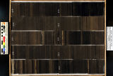
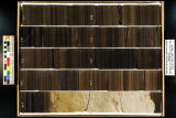
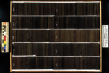
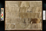
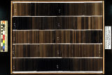
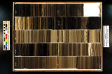
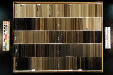
Skyline 16: SW SW sec. 10 11S 25E Uintah County, Utah. Box 29 Depth: 300.0 - 310.0 ft.
2015-07
ir_eua
1377
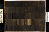
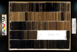
Skyline 16: SW SW sec. 10 11S 25E Uintah County, Utah. Box 3 Depth: 40.0 - 50.0 ft.
2015-07
ir_eua
1378
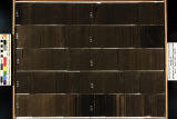
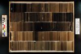
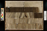
Skyline 16: SW SW sec. 10 11S 25E Uintah County, Utah. Box 30 Depth: 310.0 - 320.0 ft.
2015-07
ir_eua
1379
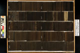
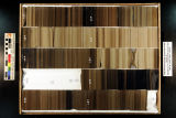
Skyline 16: SW SW sec. 10 11S 25E Uintah County, Utah. Box 31 Depth: 320.0 - 330.0 ft.
2015-07
ir_eua
1380
Skyline 16: SW SW sec. 10 11S 25E Uintah County, Utah. Box 32 Depth: 330.0 - 340.0 ft.
2015-07
ir_eua
1381
Skyline 16: SW SW sec. 10 11S 25E Uintah County, Utah. Box 33 Depth: 340.0 - 350.0 ft.
2015-07
ir_eua
1382
Skyline 16: SW SW sec. 10 11S 25E Uintah County, Utah. Box 34 Depth: 350.0 - 360.0 ft.
2015-07
ir_eua
1383
Skyline 16: SW SW sec. 10 11S 25E Uintah County, Utah. Box 35 Depth: 360.0 - 370.0 ft.
2015-07
ir_eua
1384
Skyline 16: SW SW sec. 10 11S 25E Uintah County, Utah. Box 36 Depth: 370.0 - 380.0 ft.
2015-07
ir_eua
1385
Skyline 16: SW SW sec. 10 11S 25E Uintah County, Utah. Box 37 Depth: 380.0 - 390.0 ft.
2015-07
ir_eua
1386
Skyline 16: SW SW sec. 10 11S 25E Uintah County, Utah. Box 38 Depth: 390.0 - 400.0 ft.
2015-07
ir_eua
1387
Skyline 16: SW SW sec. 10 11S 25E Uintah County, Utah. Box 39 Depth: 400.0 - 410.0 ft.
2015-07
ir_eua
1388
Skyline 16: SW SW sec. 10 11S 25E Uintah County, Utah. Box 4 Depth: 50.0 - 60.0 ft.
2015-07
ir_eua
1389
Skyline 16: SW SW sec. 10 11S 25E Uintah County, Utah. Box 40 Depth: 410.0 - 420.0 ft.
2015-07
ir_eua
1390
Skyline 16: SW SW sec. 10 11S 25E Uintah County, Utah. Box 41 Depth: 420.0 - 430.0 ft.
2015-07
ir_eua
1391
Skyline 16: SW SW sec. 10 11S 25E Uintah County, Utah. Box 42 Depth: 430.0 - 440.0 ft.
2015-07
ir_eua
1392
Skyline 16: SW SW sec. 10 11S 25E Uintah County, Utah. Box 43 Depth: 440.0 - 450.0 ft.
2015-07
ir_eua
1393
Skyline 16: SW SW sec. 10 11S 25E Uintah County, Utah. Box 44 Depth: 450.0 - 460.0 ft.
2015-07
ir_eua
1394
Skyline 16: SW SW sec. 10 11S 25E Uintah County, Utah. Box 45 Depth: 460.0 - 470.0 ft.
2015-07
ir_eua
1395
Skyline 16: SW SW sec. 10 11S 25E Uintah County, Utah. Box 46 Depth: 470.0 - 480.0 ft.
2015-07
ir_eua
1396
Skyline 16: SW SW sec. 10 11S 25E Uintah County, Utah. Box 47 Depth: 480.0 - 490.0 ft.
2015-07
ir_eua
1397
Skyline 16: SW SW sec. 10 11S 25E Uintah County, Utah. Box 48 Depth: 490.0 - 500.0 ft.
2015-07
ir_eua
1398
Skyline 16: SW SW sec. 10 11S 25E Uintah County, Utah. Box 49 Depth: 500.0 - 510.0 ft.
2015-07
ir_eua
1399
Skyline 16: SW SW sec. 10 11S 25E Uintah County, Utah. Box 5 Depth: 60.0 - 70.0 ft.
2015-07
ir_eua
1400
Skyline 16: SW SW sec. 10 11S 25E Uintah County, Utah. Box 50 Depth: 510.0 - 520.0 ft.
2015-07
ir_eua
1376
-
1400
of
1,529
<
51
52
53
54
55
56
57
58
59
60
>