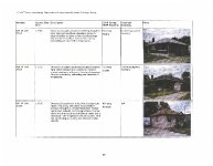
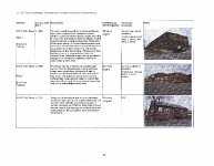
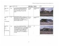
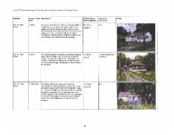
| Title |
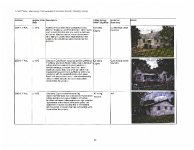
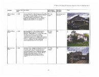
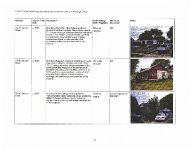
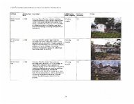
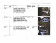
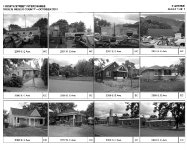
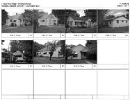
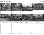
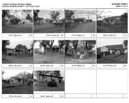
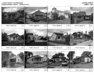
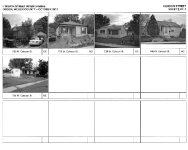
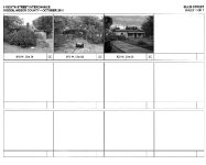
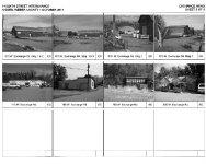
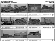
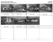
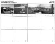
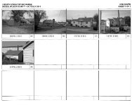
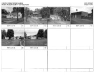
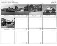
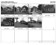
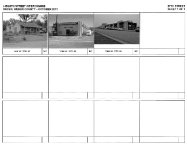
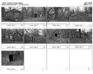
OGDEN 106 SELECTIVE RLS, 24TH ST. & I-15 INTERCHANGE, 2012 |
| Grouping |
18 |
| State |
Utah |
| County |
Weber County |
| City |
Ogden, West Haven, Roy |
| Scanning Institution |
Utah Correctional Institute |
| Collection |
Utah Historic Buildings Reports Collection |
| Date |
2012 |
| UTSHPO Collection |
Weber County RLS |
| Spatial Coverage |
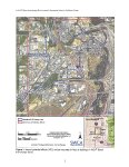
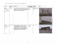
Bounded on the north by a line at approx. 20th S, on the south by a line of approx. 33rd St, on the west by the west side of 1900 W, and on the east by a line west of the railroad corridor at approx. A Ave/500 West. The APE contains 1,255 hectares (3,098 acres). |
| Rights Management |
Digital Image © 2025 Utah State Historic Preservation Office. All Rights Reserved. |
| Publisher |
Utah State Historic Preservation Office |
| Genre |
Historic Buildings Reports |
| Type |
Text |
| Format |
application/pdf |
| Date Digital |
2025-06-19 |
| Language |
eng |
| ARK |
ark:/87278/s634zfp8 |
| Setname |
dha_uhbrep |
| ID |
2743653 |
| Reference URL |
https://collections.lib.utah.edu/ark:/87278/s634zfp8 |