| OCR Text |
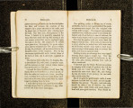
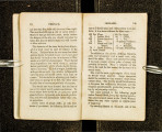
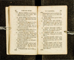
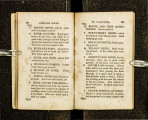
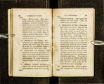
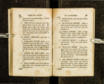
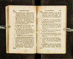
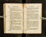
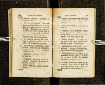
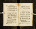
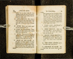
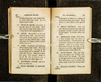
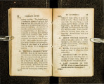
Show 54 OVERLANO ROUTE 1642~ 7 COLD CREEK AND VALLEY. · Grass, timber, and cold water. Mountain road twelve miles, to a 12 TRIBUTARY of TRUCI{IE RIV-ER, which is a fine stream, with grass and timber on its banks. In nine miles more you come to a 9 Sl\IALL VALLEY and BRANCII, and ten miles more, to 10 SECOND VALLEY & BRANCH, near the foot of Truckie Lake. Abundance of grass and timber, and excellent water. About one rnile cast of this, on the left of the road, are tho remains of the cabins of the unfortunate Donner party. Six miles to 6 FOOT OF ASCENT OF SU.L\1- MIT. You are now in the region of the perpetual snows of the Sierra N evada. V cry steep ascending road for half a mile, to ~ THE SUMMIT of MOUNTAINS. 1687 Steep and rugged descent for two miles, to a 1687 2 TO CALIFORNIA. 55 VALLEY AND COLD SPRING. Plenty of grass. It ii from here four and a half miles to the . 4~ FOOT OF SECOND VALLEY, to cro~sing of Yuba river, over a very rough road, almost impassable in places for twentv., -three rniles, to 23 INTERVALE AND GRASS. On the above road there is no grass, but plenty of cold \Vater. Very steep descent six miles, to 6 BEAR RIVER VALLEY. Good grass all the way. From this place, the left hand road passing down the valley, leads to Sacramento, via Steep Hollow ])iggins. The right hand road over the mountains, passes, via Nevada City, to the same place. There is but little grass, by either road, until you reach Sacramento Valley, fifty miles from Bear River Valley descent. The distance to Sacra rrtonto City is about one hundred miles. 17221-say about 1700 miles from Trader's Point on the l\1 issouri River to Bear River Valley. |


