Home
Browse
Ask Us
Chat
Harmful Language Statement
Log in
Uintah County Regional History Center Maps
Advanced Search
Year
1825
1826
1827
1828
1829
1830
1831
1832
1833
1834
1835
1836
1837
1838
1839
1840
1841
1842
1843
1844
1845
1846
1847
1848
1849
1850
1851
1852
1853
1854
1855
1856
1857
1858
1859
1860
1861
1862
1863
1864
1865
1866
1867
1868
1869
1870
1871
1872
1873
1874
1875
1876
1877
1878
1879
1880
1881
1882
1883
1884
1885
1886
1887
1888
1889
1890
1891
1892
1893
1894
1895
1896
1897
1898
1899
1900
1901
1902
1903
1904
1905
1906
1907
1908
1909
1910
1911
1912
1913
1914
1915
1916
1917
1918
1919
1920
1921
1922
1923
1924
1925
1926
1927
1928
1929
1930
1931
1932
1933
1934
1935
1936
1937
1938
1939
1940
1941
1942
1943
1944
1945
1946
1947
1948
1949
1950
1951
1952
1953
1954
1955
1956
1957
1958
1959
1960
1961
1962
1963
1964
1965
1966
1967
1968
1969
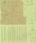
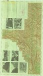
1970
1971
1972
1973
1974
1975
1976
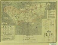
1977
1978
1979
1980
1981
1982
1983
1984
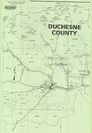
1985
1986
1987
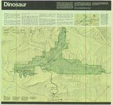
1988
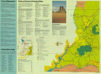
1989
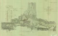
1990
1991
1992
1993
1994
1995
1996
1997
1998
1999
2000
2001
2002
2003
2004
2005
2006
2007
2008
2009
2010
2011
2012
2013
2014
TO
1825
1826
1827
1828
1829
1830
1831
1832
1833
1834
1835
1836
1837
1838
1839
1840
1841
1842
1843
1844
1845
1846
1847
1848
1849
1850
1851
1852
1853
1854
1855
1856
1857
1858
1859
1860
1861
1862
1863
1864
1865
1866
1867
1868
1869
1870
1871
1872
1873
1874
1875
1876
1877
1878
1879
1880
1881
1882
1883
1884
1885
1886
1887
1888
1889
1890
1891
1892
1893
1894
1895
1896
1897
1898
1899
1900
1901
1902
1903
1904
1905
1906
1907
1908
1909
1910
1911
1912
1913
1914
1915
1916
1917
1918
1919
1920
1921
1922
1923
1924
1925
1926
1927
1928
1929
1930
1931
1932
1933
1934
1935
1936
1937
1938
1939
1940
1941
1942
1943
1944
1945
1946
1947
1948
1949
1950
1951
1952
1953
1954
1955
1956
1957
1958
1959
1960
1961
1962
1963
1964
1965
1966
1967
1968
1969
1970
1971
1972
1973
1974
1975
1976
1977
1978
1979
1980
1981
1982
1983
1984
1985
1986
1987
1988
1989
1990
1991
1992
1993
1994
1995
1996
1997
1998
1999
2000
2001
2002
2003
2004
2005
2006
2007
2008
2009
2010
2011
2012
2013
2014
Type
Image/StillImage
474
Format
image/jpeg
329
application/pdf
145
Collection
Uintah County Regional History Center...
474
Filters:
Collection:
"ucl_maps"
Type:
"Image/StillImage"
151
-
175
of
474
<
2
3
4
5
6
7
8
9
10
11
>
Gallery view
Number of results to display per page
10
25
50
100
200
Sort by Relevance
Sort by Title A-Z
Sort by Title Z-A
Sort by Date Ascending
Sort by Date Descending
Sort by Last Modified Ascending
Sort by Last Modified Descending
Title
Date
Type
151
Ashley National Forest, Utah - Salt Lake and Uinta Special Meridians
1962
Image/StillImage
152
Flaming Gorge National Recreation Area - Ashley National Forest 1962
1962
Image/StillImage
153
Ashley National Forest Wilderness Proposal 1967 - South Slope Plan - Roadless Areas - Alternative 4
1967
Image/StillImage
154
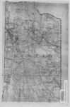
Uintah County Sectional Map
Image/StillImage
155
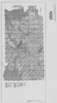
Uinta Mountains Ashley Sheet Utah Colorado 1885-1901
1885; 1886; 1887; 1888; 1889; 1890; 1991
Image/StillImage
156
Uintah County Road 1997 RS2477
1997
Image/StillImage
157
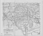
Uintah Basin and Adjacent Territory 1914
1914
Image/StillImage
158
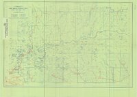
High Uintas Primitive Area - Ashley and Wasatch National Forests, Utah 1958
1958
Image/StillImage
159
Recreation Map - Ashley National Forest - Utah and Wyoming 1955
1955
Image/StillImage
160
Ashley National Forest, Utah - Salt Lake and Uinta Special Meridians 1962
1962
Image/StillImage
161
Travel Map Ashley National Forest - Vernal Ranger District, Utah
1991
Image/StillImage
162
Flaming Gorge National Recreation Area - Ashley National Forest
Image/StillImage
163
Ashley National Forest - Uinta National Forest - Wasatch National Forest - Manti La Sal National Forest
Image/StillImage
164
Ashley National Forest - Analysis Units - High Uintas Roadless Area Study
Image/StillImage
165
Ashley National Forest - Forest Visitor Map 1998
1998
Image/StillImage
166
Ashley National Forest - Vernal Ranger District Travel Map 1999 - Revised 2003
1999; 2003
Image/StillImage
167
Ashley National Forest Wilderness Proposal 1967 - South Slope Plan
1967
Image/StillImage
168
Outlaw ATV Trail
Image/StillImage
169
Duchesne County, Utah
Image/StillImage
170
United States Department of the Interior Geological Survey, Dinosaur National Monument, Colorado - Utah, 1971
1971
Image/StillImage
171
Carter Military Road, Map & Brochure
Image/StillImage
172
Dinosaur National Monument, 1986
1986
Image/StillImage
173
Canyonlands, USA Southeastern Utah's Family Vacation Land Brochure
Image/StillImage
174
Topographic Map of the Dinosaur National Monument, Colorado - Utah, 1951
1945; 1951
Image/StillImage
175
United States Department of the Interior Geological Survey, Dinosaur National Monument, Colorado - Utah, 1966
1966
Image/StillImage
151
-
175
of
474
<
2
3
4
5
6
7
8
9
10
11
>