| Title | Date | Type | Setname | ||
|---|---|---|---|---|---|
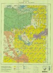
| 101 |
 |
Price, Utah 1980 | 1980 | Image/StillImage | ucl_maps |
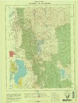
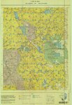
| 102 |
 |
Salt Lake City, Utah-Wyoming 1980 | 1980 | Image/StillImage | ucl_maps |
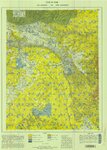
| 103 |
 |
Seep Ridge, Utah-Colorado 1981 | 1981 | Image/StillImage | ucl_maps |
| 104 |
 |
Vernal, Utah-Colorado 1980 | 1980 | Image/StillImage | ucl_maps |
| 105 |
 |
Taylor Mountain Formations | Image/StillImage | ucl_maps | |
| 106 |
 |
Wasatch US DOI BLM 1973 | 1973 | Image/StillImage | ucl_maps |
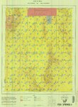
| 107 |
 |
Wah Wah US DOI BLM 1978 | 1978 | Image/StillImage | ucl_maps |
| 108 |
 |
Tintic US DOI BLM 1976 | 1976 | Image/StillImage | ucl_maps |
| 109 |
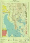 |
Promontory US DOI BLM 1973 | 1973 | Image/StillImage | ucl_maps |
| 110 |
 |
Oquirrh US DOI BLM 1977 | 1977 | Image/StillImage | ucl_maps |
| 111 |
 |
Monticello US DOI BLM 1978 | 1978 | Image/StillImage | ucl_maps |
| 112 |
 |
Salt Flats US DOI BLM 1977 | 1977 | Image/StillImage | ucl_maps |
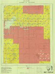
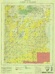
| 113 |
 |
Sanpete US DOI BLM 1978 | 1978 | Image/StillImage | ucl_maps |
| 114 |
 |
Kaiparowits US DOI BLM 1980 | 1980 | Image/StillImage | ucl_maps |
| 115 |
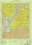 |
Lake Powell US DOI BLM 1976 | 1976 | Image/StillImage | ucl_maps |
| 116 |
 |
Kanab US DOI BLM 1978 | 1978 | Image/StillImage | ucl_maps |
| 117 |
 |
Grouse Creek US DOI BLM 1974 | 1974 | Image/StillImage | ucl_maps |
| 118 |
 |
Fish Springs US DOI BLM 1977 | 1977 | Image/StillImage | ucl_maps |
| 119 |
 |
Fish Lake US DOI BLM 1978 | 1978 | Image/StillImage | ucl_maps |
| 120 |
 |
Duchesne US DOI BLM 1977 | 1977 | Image/StillImage | ucl_maps |
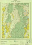
| 121 |
 |
Basin US DOI BLM 1977 | 1977 | Image/StillImage | ucl_maps |
| 122 |
 |
Bear Lake US DOI BLM 1974 | 1974 | Image/StillImage | ucl_maps |
| 123 |
 |
Arches US DOI 1978 | 1978 | Image/StillImage | ucl_maps |
| 124 |
 |
Dixie US DOI BLM 1977 | 1977 | Image/StillImage | ucl_maps |
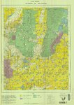
| 125 |
 |
Carbon US DOI BLM 1967 | 1967 | Image/StillImage | ucl_maps |