51 - 75 of 89
Number of results to display per page
TitleDateType
51 Map of Indian Tribes of North AmericaImage/StillImage
52 Map of North America and Original Inhabitants' Territory.Image/StillImage
53 Map of Reservations of the Western United States and the Religions that Worked on the Reservations 1870's1873Image/StillImage
54 Map of Shoshone Indian Territory, and the Division of Shoshone Boundaries in NevadaImage/StillImage
55 Map of Shoshone, Goshute, Bannock, Wind River and Panamint Indian Tribal Groups1957Image/StillImage
56 Map of Western Indian Territory Before 1850Image/StillImage
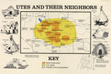
57 Map titled, "Utes and Their Neighbors"Image/StillImage
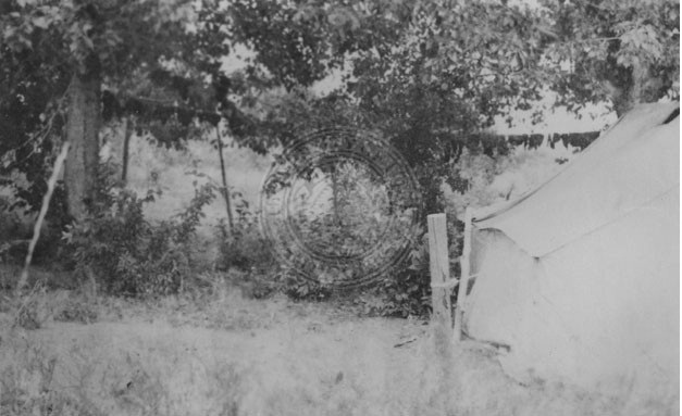
58 Meat drying on a line outside a tent.Image/StillImage
59 Origin of the Echo (Gosiute)Image/StillImage
60 Partially Survayed Township 12th South, Range 19th West, Salt Lake Meridian_005Image/StillImage
61 Peyote Moon Altar.Image/StillImage
62 Pia Toya: A Goshute Indian Legend2005Image/StillImage
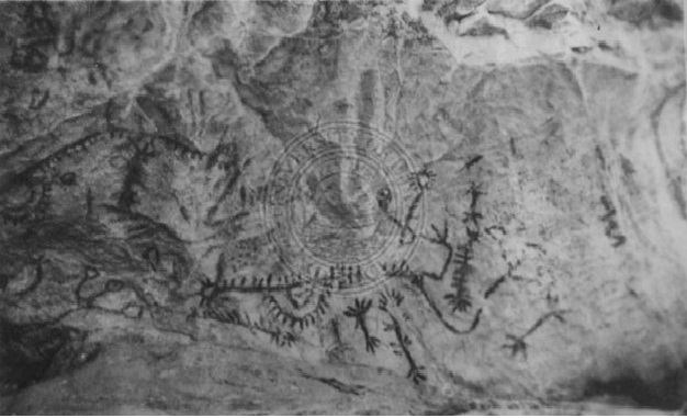
63 Pictographs in Tunnel Canyon, Nevada.Image/StillImage
64 Reservation Boundary and General Land StatusImage/StillImage
65 State MapsImage/StillImage
66 Surface Management Responsibility_001Image/StillImage
67 Surface Management Responsibility_002Image/StillImage
68 This is chapter 3 by Dennis R. Defa entitled, "The Goshute Indians of Utah" of Forrest Cuch's edited book, "The History of Utah's American IndiansImage/StillImage
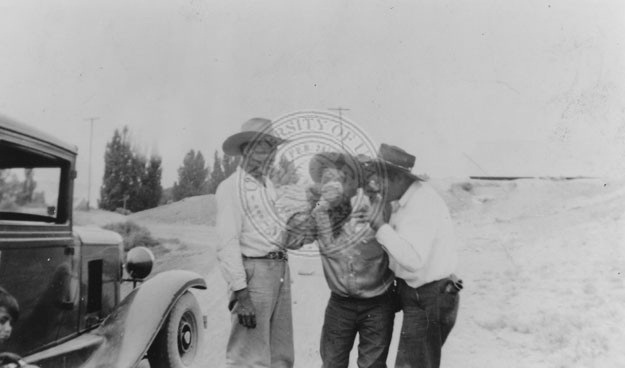
69 Three men standing near a car drinking from a bottle1930; 1931; 1932; 1933; 1934; 1935; 1936; 1937; 1938; 1939Image/StillImage
70 Township 12th South, Range 19th West, Salt Lake Meridian_001Image/StillImage
71 Township 12th South, Range 19th West, Salt Lake Meridian_002Image/StillImage
72 Township 12th South, Range 19th West, Salt Lake Meridian_003Image/StillImage
73 Township 12th South, Range 19th West, Salt Lake Meridian_004Image/StillImage
74 Township 13th South, Range 19th West, Salt Lake Meridian_001Image/StillImage
75 Township 13th South, Range 19th West, Salt Lake Meridian_002Image/StillImage
51 - 75 of 89