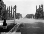
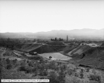
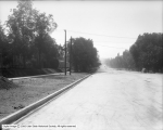
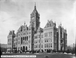
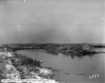
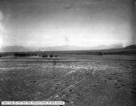
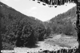
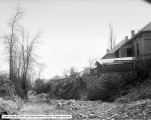
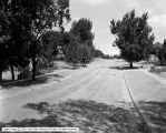
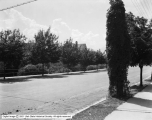
51 - 75 of 191
Number of results to display per page
TitleDateType
51 Center Street, City Cemetery1929Image
52 600 East From Liberty Park1924Image
53 Salt Lake City - Panoramic View #2 From North Bench1913Image
54 Parley's Canyon - Reservoir1908Image
55 Street Paving - 700 East, South from 100 South1909Image
56 Curb and Gutter Extension No. 581926Image
57 Utah Lake Area - Monument1910; 1906; 1907; 1908; 1909; 1911; 1912; 1913; 1914Image
58 Salt Lake City - Asphalt Mine Near Thistle, Utah1907Image
59 City and County Building1902Image
60 Jordan River1910; 1906; 1907; 1908; 1909; 1911; 1912; 1913; 1914Image
61 Street Paving - 500 East, South from South Temple1908Image
62 City and County Building1902Image
63 Jordan River - Surplus Canal1910-01-20Image
64 Concrete Culvert - City Creek1906Image
65 Utah Lake - Valley Area, Showing a Cabin and Tent1910; 1906; 1907; 1908; 1909; 1911; 1912; 1913; 1914Image
66 Blasting Channel to Pumping Plant in Utah Lake1925Image
67 Red Butte Hollow - Fill, Looking South1915Image
68 American Fork Canyon1907-07-21Image
69 City Creek Aqueduct, Near Canyon Road1910Image
70 1000 South Canal, Looking East1913Image
71 Princeton Avenue from 1200 East1924Image
72 Red Butte Hollow - Fill Across Canyon1931Image
73 Curb and Gutter Extension - 1300 East, North from 2700 South1929Image
74 Utah Lake - Large Home With Dance Pavilion1910; 1906; 1907; 1908; 1909; 1911; 1912; 1913; 1914Image
75 North Point Dam1921-07Image
51 - 75 of 191