Home
Browse
Ask Us
Chat
Harmful Language Statement
Log in
Art and Art History
Advanced Search
Subject
Maps
169
Asian Art
27
Brazil
13
Buddhism
9
Buddhist Art
8
Architecture
6
Latin America
5
Ruins
5
Colonial Latin America
4
Japanese Art
3
Latin American Art
3
Asia
2
Boston Massacre
2
French History
2
French Revolution
2
History
2
Islamic Art
2
Napoleon Bonaparte
2
Napoleonic Wars
2
South America
2
Art Academy
1
Aztec Empire
1
Ceramics
1
China
1
Contemporary Asian Art
1
Dutch Brazil
1
Hindu Art
1
Hinduism
1
India
1
Korean Art
1
Middle East
1
Religious Art
1
Religious Buildings
1
World History
1
More
Filters:
Subject:
"Maps"
Collection:
"uu_aah_art"
Format:
"image/jpeg"
Format:
image
Setname:
!(ir* OR ehsl*)
51
-
75
of
169
<
1
2
3
4
5
6
7
>
Gallery view
Number of results to display per page
10
25
50
100
200
Sort by Relevance
Sort by Title A-Z
Sort by Title Z-A
Sort by Date Ascending
Sort by Date Descending
Sort by Last Modified Ascending
Sort by Last Modified Descending
Sort by Module Order
Title
Creator
Creation Date
51
Map: Locations of 1937 Paris World's Fair, the Berlin Olympics, Nuremberg Rallies, and Great German and Degenerate Art Exhibits
52
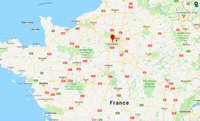
Map: Paris and Versailles, France
53
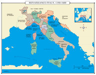
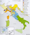
Map: Renaissance Italy 1350 - 1600 CE
54
Map: Europe, 1648 CE
55
Map: Aztec Empire in 1518 CE
1518 CE
56
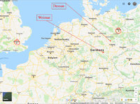
Map: Northern Europe showing Dessau and Weimar, Germany
57
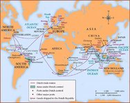
Map: Dutch Trade Routes
58
Map: The Empire on the Eve of the French Revolution, 1789
59
Map: The greatest extent of Napoleon I's First Empire, 1812
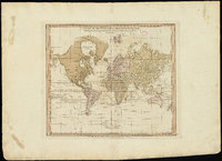
60
A chart of the world upon Mercator's projection : describing the tracks of Capt. Cook in the year 1768, 69, 70, 71, and in 1772, 73, 74, 75, with the new discoveries
William Faden
1775 CE
61
Boston, its environs and harbour, with the rebels works raised against that town in 1775
Thomas Hyde Page
c. 1775 CE
62
A new plan of ye great town of Boston in New England in America, with the many additionall [sic] buildings, & new streets, to the year, 1769
William Price; John Bonner
1769 CE
63
Map: Florence, Italy, 1400 CE
64
Map: Italy, c.1410 CE
65
Americae sive Novi Orbis, Noca Descripto (A New Description of America or the New World)
Abraham Ortelius
1570 CE
66
Map: Cities in India
67
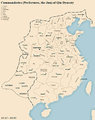
Map: Qin Dynasty, China
68
Map: Brazil
69
View of Venice (detail)
Jacopo de' Barbari
1500 CE
70
View of Venice
Jacopo de' Barbari
1500 CE
71
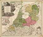
Map of the Dutch Republic
17th Century CE
72
Map of Dutch East India Company (V.O.C.) Trade Routes
73
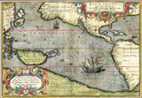
Map of the Pacific
Abraham Ortelius
1589 CE
74
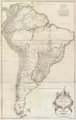
Amerique Meridionale Publiee sous les Auspices de Monseigneur le Duc d'Orleans
Jean Baptiste Bourguignon D'Anville
1748 CE
75
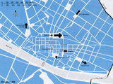
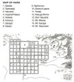
Map: Nara, Japan
51
-
75
of
169
<
1
2
3
4
5
6
7
>