51 - 75 of 73
Number of results to display per page
TitleDateType
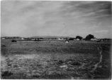
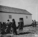
51 View of White Rocks, Summer '09Image/StillImage
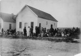
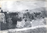
52 Scene at White Rocks, ration day, Summer '09Image/StillImage
53 Scene on ration day at White Rocks Summer '09Image/StillImage
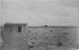
54 View Near White Rocks, Summer '09Image/StillImage
55 Scene on ration day at White Rocks, Summer '09Image/StillImage
56 Scene at White Rocks, Ration day, Summer '091909Image/StillImage
57 "Cherry Blossom" a Ute Indian Maiden from U and OImage/StillImage
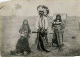
58 Group of Uintah Ute Indians, White Rocks, Summer '09Image/StillImage
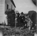
59 Three Young Ute Indians, White Rocks, Summer '09Image/StillImage
60 Two young women dressed for Bear DanceImage/StillImage
61 Uncompahgre Ute Indian on horseback, Ouray. Summer '09Image/StillImage
62 Ute woman and child [P0342n01_03_03.tif]Image/StillImage
63 Young Ute Indians, White Rocks, Summer '09Image/StillImage
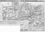
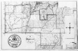
64 Map of Reservations of the Western United States and the Religions that Worked on the Reservations 1870's1873Image/StillImage
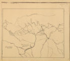
65 Map of Uintah Basin and Fort DuchesneImage/StillImage
66 Map of East Central Utah, Uintah Ouray Reservation, Utah ValleyImage/StillImage
67 Map of Southern Colorado and the Ute Mountain Ute ReservationImage/StillImage
68 Map of Ute Territory by BandImage/StillImage
69 Map of Stock Mining Claims in the Uintah BasinImage/StillImage
70 Map of the Uintah Basin and the Uintah Ouray ReservationImage/StillImage
71 Map of the Four Corners Region and the Reservation of the Ute Mountain Ute TribeImage/StillImage
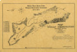
72 Uintah Indian Reservation and the Three Band Divisions 1903.1903Image/StillImage
73 Map of Walker River Paiute Tribe Original Reservation Centennial 1874-19741874Image/StillImage
51 - 75 of 73