26 - 50 of 45
Number of results to display per page
TitleDateType
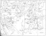
26 Goshute Traditional TerritoryImage/StillImage
27 Areas Used by the Goshute People and Areas Potentially Impacted by Southern Nevada Water AuthorityImage/StillImage
28 Goshute Skull Valley Reservation Geothermal Resources Map2004-01-14Image/StillImage
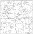
29 Map of Shoshone, Goshute, Bannock, Wind River and Panamint Indian Tribal Groups1957Image/StillImage
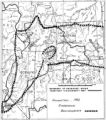
30 Boundary of Shoshone Indian Territory according to Swanton, 19521952Image/StillImage
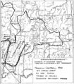
31 Boundary of Shoshone Indian Territory and Neighboring Tribes1957Image/StillImage
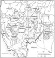
32 Map of Indian Reservations in the Western United StatesImage/StillImage
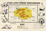
33 Map titled, "Utes and Their Neighbors"Image/StillImage
34 Map of Indian Tribes of North AmericaImage/StillImage
35 Map of North America and Original Inhabitants' Territory.Image/StillImage
36 Map of Indian Land Cessions in the United StatesImage/StillImage
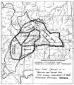
37 Boundary of Shoshone Indian Territory, showing the locations of the Bannock1957Image/StillImage
38 Map of Shoshone Indian Territory, and the Division of Shoshone Boundaries in NevadaImage/StillImage
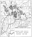
39 Boundary of Shoshone Indian Territory, showing the locations of the Bannock from 1819 to 19511957Image/StillImage
40 Map of Indian Territory in the Western United StatesImage/StillImage
41 Boundary of Shoshone Indian Territory, Linguistic Boundaries of Shoshone and Bannock.1941Image/StillImage
42 Boundary of Shoshone Indian Territory, showing the locations where the Bannock and Shoshone reported together 1819-19561957Image/StillImage
43 Boundary of Shoshone Indian Territory; Doty Map of 1863 Indian Claims Commission1957Image/StillImage
44 Map of Western Indian Territory Before 1850Image/StillImage
45 Map of Reservations of the Western United States and the Religions that Worked on the Reservations 1870's1873Image/StillImage
26 - 50 of 45