26 - 50 of 53
Number of results to display per page
TitleDateType
26 Page 105
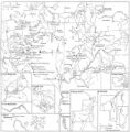
27 Map of Indian Land Cessions in the United StatesImage/StillImage
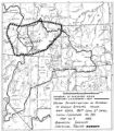
28 Map of Chief Washakie's Hunting and Fighting Territory, prepare by Oscar Mosserly, 1930Image/StillImage
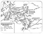
29 Trappers and Traders in Ute Lands 1820-1844Image/StillImage
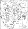
30 Map of Indian Territory in the Western United StatesImage/StillImage
31 Map of the original range of the Bannock Indians according to Bureau of Indian Affairs, 1952.Image/StillImage
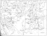
32 Map of Western Indian Territory Before 1850Image/StillImage
33 Ute Indians: Before and after White Contact1966Text
34 We Shall Remain: Utah Indian Elementary Curriculum Guide; 4th Grade2009Text
35 Map of Indian Reservations in the Western United StatesImage/StillImage
36 Exploration of the Valley of the Great Salt Lake1936Image/StillImage
37 Map of Reservations of the Western United States and the Religions that Worked on the Reservations 1870's1873Image/StillImage
38 We Shall Remain: Utah Indian Elementary Curriculum Guide - Fourth Grade Assessment2009Text
39 We Shall Remain: Utah Indian High School Curriculum Guide2009Text
40 We Shall Remain: Utah Indian Junior High Curriculum Guide2009Text
41 Annual Report of the Commissioner of Indian Affairs - 18741874Image/StillImage
42 Notes on the History of the Southern Paiutes and Western Shoshonis1971Text
43 Western wilds1879Text
44 Page 99
45 Page 63
46 Page 52
47 Annual Report upon the Geographical and Geological Surveys and Explorations West of the 100th Meridian, in Nevada, Utah, Colorado, New Mexico, and Arizona - Page 369
48 Page 100
49 Page 65
50 Page 54
26 - 50 of 53