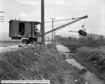
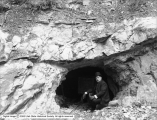
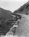
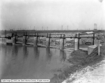
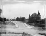
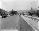
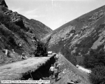
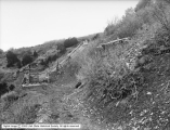
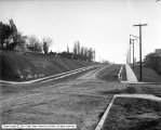
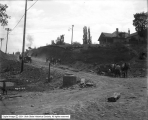
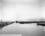
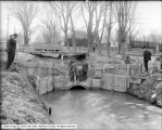
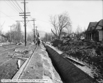
351 - 375 of 1,000
Number of results to display per page
TitleDateType
351 Excavation Channel, Utah Lake Pumping Plant1926Image
352 Excavating 1300 South Canal1923-04Image
353 Siphon Under Jordan River For Drainage Canal1925Image
354 Salt Lake City - Asphalt Mine Near Thistle, Utah1907Image
355 House Encroaching On Street, 200 South Near Uiversity StreetImage
356 Parley's Sunnyside Supply Conduit1927Image
357 North Point Dam1921-07Image
358 North Temple Aqueduct, Looking West From West Temple1924Image
359 Hillside Avenue, East From Main Street1928Image
360 Drainage Canal Showing Oil on Surface1926Image
361 Emigration Conduit Across Municipal Park1922-06-08Image
362 Utah Power and Light Repairs on State Street and 900 South1927Image
363 Salt Lake City - Panoramic View, East from City and County Building1907Image
364 Salt Lake City - Girard Avenue and Center Street1923-03-09Image
365 Parley's Sunnyside Conduit1927Image
366 Salt Lake City - Asphalt Mine Near Thistle, Utah1907Image
367 Curbing and Gutters - 1100 East 300 South1913-11-05Image
368 Street Grading - 300 South and 1100 East1913-05-06Image
369 Parley's Creek - Conduit, Effects of Flood1910; 1906; 1907; 1908; 1909; 1911; 1912; 1913; 1914Image
370 Jordan River Pumping Station - Surplus Canal1910Image
371 Street Paving - Main Street and 100 South1907Image
372 900 South Canal - Pipe Outlet1913-04-01Image
373 City Creek, North Temple Aqueduct1909Image
374 Sewer, South State Street1909Image
375 Sewer, Bueno Avenue, Looking West from 1200 East1908Image
351 - 375 of 1,000