| Title | Date | Type | Setname | ||
|---|---|---|---|---|---|
| 76 |
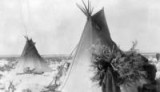 |
Goisute [sic] Indian woman | 1934; 1935; 1935; 1936 | Image/StillImage | uaida_main |
| 77 |
 |
Goshute Indian Reservation Nevada and Utah | Image/StillImage | uaida_main | |
| 78 |
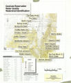 |
Goshute Reservation Water Quality | Image/StillImage | uaida_main | |
| 79 |
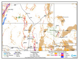 |
Goshute Reservation Wind Resources Map | 2004-01-09 | Image/StillImage | uaida_main |
| 80 |
 |
Goshute Skull Valley Reservation Geothermal Resources Map | 2004-01-14 | Image/StillImage | uaida_main |
| 81 |
 |
Goshute Traditional Territory | Image/StillImage | uaida_main | |
| 82 |
 |
Gosiute Day School | 1930; 1931; 1932; 1933; 1934; 1935; 1936; 1937; 1938; 1939; 1940 | Image/StillImage | uaida_main |
| 83 |
 |
Gosiute house | 1930; 1931; 1932; 1933; 1934; 1935; 1936; 1937; 1938; 1939; 1940; 1941; 1942; 1943; 1944; 1945; 1946; 1947; 1948; 1949 | Image/StillImage | uaida_main |
| 84 |
 |
Gosiute Petroglyph. | 1930; 1931; 1932; 1933; 1934; 1935; 1936; 1937; 1938; 1939; 1940 | Image/StillImage | uaida_main |
| 85 |
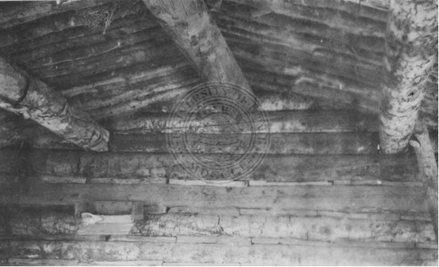 |
Interior of Gosiute house | 1930; 1940 | Image/StillImage | uaida_main |
| 86 |
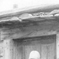 |
John Sime standing in front of house door | 1935-08 | Image/StillImage | uaida_main |
| 87 |
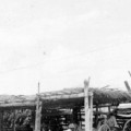 |
John Sime's shed; Ibapah Indians | 1935 | Image/StillImage | uaida_main |
| 88 |
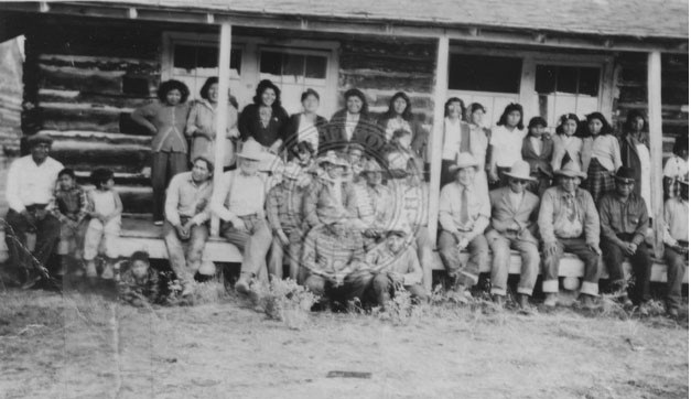 |
Large group of Gosiute Indians sitting on the front porch of a large building. | Image/StillImage | uaida_main | |
| 89 |
 |
Large group of Gosiutes gathered for an unidentified event | 1920; 1921; 1922; 1923; 1924; 1925; 1926; 1927; 1928; 1929; 1930; 1931; 1932; 1933; 1934; 1935; 1936; 1937; 1938; 1939 | Image/StillImage | uaida_main |
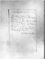
| 90 |
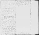 |
Letter from Commissioner of Indian Affairs dated September 29, 1870 | 1870-09-29 | Image/StillImage | uaida_main |
| 91 |
 |
Letter from Dimick B. Huntington to Brigham Young Concerning the Indians, June 16, 1871 | 1871-06-16 | Image/StillImage | uaida_main |
| 92 |
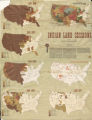 |
Map of Indian Land Cessions in the United States | Image/StillImage | uaida_main | |
| 93 |
 |
Map of Indian Reservations in the Western United States | Image/StillImage | uaida_main | |
| 94 |
 |
Map of Indian Territory in the Western United States | Image/StillImage | uaida_main | |
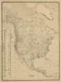
| 95 |
 |
Map of Indian Tribes of North America | Image/StillImage | uaida_main | |
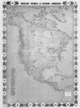
| 96 |
 |
Map of North America and Original Inhabitants' Territory. | Image/StillImage | uaida_main | |
| 97 |
 |
Map of Reservations of the Western United States and the Religions that Worked on the Reservations 1870's | 1873 | Image/StillImage | uaida_main |
| 98 |
 |
Map of Shoshone Indian Territory, and the Division of Shoshone Boundaries in Nevada | Image/StillImage | uaida_main | |
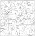
| 99 |
 |
Map of Shoshone, Goshute, Bannock, Wind River and Panamint Indian Tribal Groups | 1957 | Image/StillImage | uaida_main |
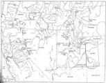
| 100 |
 |
Map of Western Indian Territory Before 1850 | Image/StillImage | uaida_main |