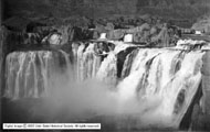
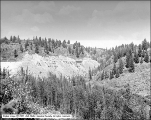
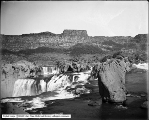
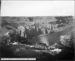
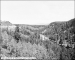
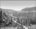
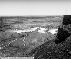
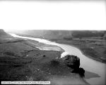
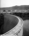
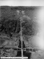
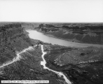
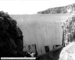
1 - 25 of 66
Number of results to display per page
TitleDateType
1 Perrine's Northside Road, Looking Down From Rim Above1912-06-04Image
2 Salmon Dam from East1912-06-06Image
3 Shoshone Falls1912-06-04Image
4 Shoshone Falls1908; 1904; 1905; 1906; 1907; 1909; 1910; 1911; 1912Image
5 Shoshone Falls1908; 1904; 1905; 1906; 1907; 1909; 1910; 1911; 1912Image
6 Warm River Canyon (OSL)1908-08-21Image
7 Shoshone Falls1908; 1904; 1905; 1906; 1907; 1909; 1910; 1911; 1912Image
8 Shoshone Falls from above1908; 1904; 1905; 1906; 1907; 1909; 1910; 1911; 1912Image
9 Warm River Canyon, Looking Up1908-08-21Image
10 Warm River Canyon, Looking Down1908-08-21Image
11 Utah Power and Light Plant, Oneida1920; 1916; 1917; 1918; 1919; 1921; 1922; 1923; 1924Image
12 Looking over Shoshone Falls From North Rim1912-06-04Image
13 Perrine's Ranch from South Dugway1912-06-04Image
14 Salmon Dam from West1912-06-06Image
15 Cedar Creek Dam Site1912-06-06Image
16 Dugway above Shoshone Falls from Rim1912-06-04Image
17 Shoshone Falls, Close View1912-06-04Image
18 Snake River and Twins from South Rim of Hughes1912-06-05Image
19 Salmon Dam from Northeast1912-06-06Image
20 Shoshone Falls, Site of North End of Bridge1912-06-04Image
21 Cedar Creek, Mouth of Tunnel1912-06-06Image
22 Shoshone Falls, Below Falls with Rainbow1912-06-05Image
23 Snake River Looking Down from South Rim at Hughes1912-06-05Image
24 Lower Blue Lakes and Perrines1912-06-04Image
25 Perrine's Ranch, From Rim Toward Bridges1912-06-05Image
1 - 25 of 66