Home
Browse
Ask Us
Chat
Harmful Language Statement
Log in
Art and Art History
Advanced Search
Subject
Maps
169
Asian Art
27
Brazil
13
Buddhism
9
Buddhist Art
8
Architecture
6
Latin America
5
Ruins
5
Colonial Latin America
4
Japanese Art
3
Latin American Art
3
Asia
2
Boston Massacre
2
French History
2
French Revolution
2
History
2
Islamic Art
2
Napoleon Bonaparte
2
Napoleonic Wars
2
South America
2
Art Academy
1
Aztec Empire
1
Ceramics
1
China
1
Contemporary Asian Art
1
Dutch Brazil
1
Hindu Art
1
Hinduism
1
India
1
Korean Art
1
Middle East
1
Religious Art
1
Religious Buildings
1
World History
1
More
Filters:
Subject:
"Maps"
Collection:
"uu_aah_art"
Type:
"Image"
1
-
25
of
169
<
1
2
3
4
5
6
7
>
Gallery view
Number of results to display per page
10
25
50
100
200
Sort by Relevance
Sort by Title A-Z
Sort by Title Z-A
Sort by Date Ascending
Sort by Date Descending
Sort by Last Modified Ascending
Sort by Last Modified Descending
Sort by Module Order
Title
Creator
Creation Date
1
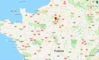
Map: Paris and Versailles, France
2
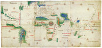
Cantino Planisphere
unknown
1502 CE
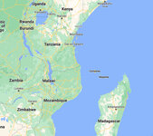
3
Map: Makonde people were in contemporary Kenya, Tanzania, and Mozambique
4
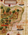
Terra Brasilis (detail)
Lopo Homem; Pedro Reinel; Jorge Reinel
1515 - 1519 CE
5
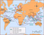
Map: Dutch Trade Routes
6
New World Map
Diogo Homem
1568 CE
7
Map: Nigeria in West Africa
8
Map: The Roman Empire
9
Map: Locations of 1937 Paris World's Fair, the Berlin Olympics, Nuremberg Rallies, and Great German and Degenerate Art Exhibits
10
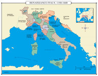
Map: Renaissance Italy 1350 - 1600 CE
11
Map: Europe, 1648 CE
12
Map: Aztec Empire in 1518 CE
1518 CE
13
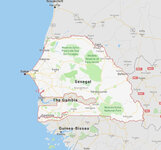
Map: Senegal
14
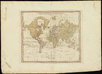
A chart of the world upon Mercator's projection : describing the tracks of Capt. Cook in the year 1768, 69, 70, 71, and in 1772, 73, 74, 75, with the new discoveries
William Faden
1775 CE
15
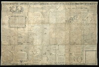
A new plan of ye great town of Boston in New England in America, with the many additionall [sic] buildings, & new streets, to the year, 1769
William Price; John Bonner
1769 CE
16
Map: The Empire on the Eve of the French Revolution, 1789
17
Map: The greatest extent of Napoleon I's First Empire, 1812
18
Map: Osogbo
19
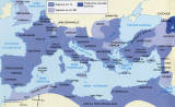
Map: Mediterranean and Northern Africa
20
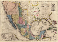
Map of the United States of Méjico (Mexico)
John Disturnell
1846 CE
21
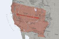
Map: Mexican Cession 1848
22
Map: The Hohenstaufen Empire under Frederick II
23
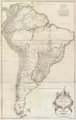
Amerique Meridionale Publiee sous les Auspices de Monseigneur le Duc d'Orleans
Jean Baptiste Bourguignon D'Anville
1748 CE
24
Mercator world map of 1569 (Nova et Aucta Orbis Terrae Descriptio ad Usum Navigantium Emendate Accommodata)
Gerardus Mercator
1569 CE
25
Map: Minoan Crete and the Bronze Age Aegean
1
-
25
of
169
<
1
2
3
4
5
6
7
>