1 - 25 of 6
| Title | Date | Type | ||
|---|---|---|---|---|
| 1 |
 |
Carbon US DOI BLM 1978 | 1978 | Image/StillImage |
| 2 |
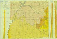 |
Geologic Map of Uintah County, Utah - South Half - 1950s | 1950; 1951; 1952; 1953; 1954; 1955; 1956; 1957; 1958; 1959 | Image/StillImage |
| 3 |
 |
Hill Creek (Planimetric) NE-17 (US DOI BLM) 1975 (revised) | 1975 | Image/StillImage |
| 4 |
 |
Lease & Structure Map Uintah Basin, Utah for Ziegler Chemical & Mineral Corp (Showing Leases & Lines of Strat Columns) | 1978 | Image/StillImage |
| 5 |
 |
Sunnyside (Planimetric) NE-16 (US DOI BLM) 1974 | 1974 | Image/StillImage |
| 6 |
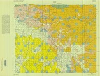 |
Sunnyside (Planimetric) NE-16 (US DOI BLM) 1975 (revised) | 1975 | Image/StillImage |
1 - 25 of 6
