| Title | Date | Type | Setname | ||
|---|---|---|---|---|---|
| 1 |
 | Annual Report of the Commissioner of Indian Affairs - 1873 | 1873 | Image/StillImage | uaida_main |
| 2 |
 | Auerbach Bros. P.15 | 1863 | Image/StillImage | dha_cp |
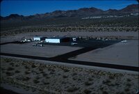
| 3 |
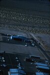 | Boulder City airport, 1960s [01] | 1961; 1962; 1963; 1964 | Image/StillImage | uum_map_rr |
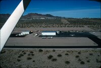
| 4 |
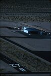 | Boulder City airport, 1960s [02] | 1961; 1962; 1963; 1964 | Image/StillImage | uum_map_rr |
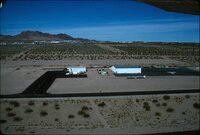
| 5 |
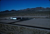 | Boulder City airport, 1960s [03] | 1961; 1962; 1963; 1964 | Image/StillImage | uum_map_rr |
| 6 |
 | Boulder City airport, 1960s [04] | 1961; 1962; 1963; 1964 | Image/StillImage | uum_map_rr |
| 7 |
 | Boulder City airport, 1960s [05] | 1961; 1962; 1963; 1964 | Image/StillImage | uum_map_rr |
| 8 |
 | Boulder City airport, 1960s [06] | 1961; 1962; 1963; 1964 | Image/StillImage | uum_map_rr |
| 9 |
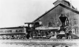
 | Boundary of Shoshone Indian Territory according to Swanton, 1952 | 1952 | Image/StillImage | uaida_main |
| 10 |
 | Boundary of Shoshone Indian Territory, Linguistic Boundaries of Shoshone and Bannock. | 1941 | Image/StillImage | uaida_main |
| 11 |
 | Boundary of Shoshone Indian Territory, showing the locations of the Bannock | 1957 | Image/StillImage | uaida_main |
| 12 |
 | Boundary of Shoshone Indian Territory, showing the locations of the Bannock from 1819 to 1951 | 1957 | Image/StillImage | uaida_main |
| 13 |
 | Boundary of Shoshone Indian Territory, showing the locations where the Bannock and Shoshone reported together 1819-1956 | 1957 | Image/StillImage | uaida_main |
| 14 |
 | Boundary of Shoshone Indian Territory; Doty Map of 1863 Indian Claims Commission | 1957 | Image/StillImage | uaida_main |
| 15 |
 | Bovine Peak, Nevada p.1 | 1940; 1941; 1942; 1943; 1944; 1945; 1946; 1947; 1948; 1949; 1950 | Image/StillImage | dha_cp |
| 16 |
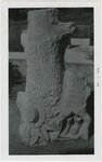 | Carved headstone of young girl | 1956-08-08 | Image/StillImage | uum_map |
| 17 |
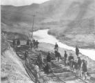 | Central Pacific R.R. -- Construction P.16 | 1868 | Image/StillImage | dha_cp |
| 18 |
 | Central Pacific RR - Locomotives P.10 | 1891; 1892; 1893; 1894; 1895 | Image/StillImage | dha_cp |
| 19 |
 | Central Pacific RR - Locomotives P.9 | 1865; 1866; 1867; 1868; 1869 | Image/StillImage | dha_cp |
| 20 |
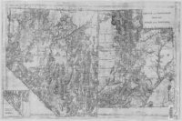 | County And Township Map Of Utah And Nevada | 1884 | Image/StillImage | ucl_maps |
| 21 |
 | Crystals in a cave? | 1978; 1979; 1980; 1981; 1982 | Image/StillImage | uum_map |
| 22 |
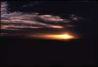 | Desert sunrise or sunset | 1978; 1979; 1980; 1981; 1982 | Image/StillImage | uum_map |
| 23 |
 | Desert tree | 1978; 1979; 1980; 1981; 1982 | Image/StillImage | uum_map |
| 24 |
 | Dixie US DOI BLM 1977 | 1977 | Image/StillImage | ucl_maps |
| 25 |
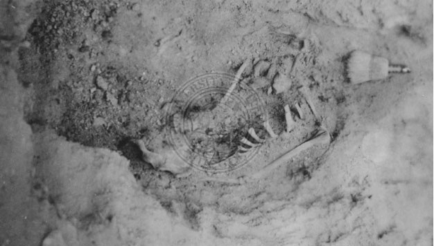 | Excavated Goshute burial site | 1930; 1931; 1932; 1933; 1934; 1935; 1936; 1937; 1938; 1939; 1940; 1941; 1942; 1944; 1945; 1946; 1947; 1948; 1949 | Image/StillImage | uaida_main |