1 - 25 of 60
Number of results to display per page
TitleDateType
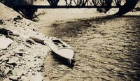
1 "Rob Roy" at the outlet of Grand Lake1933Image
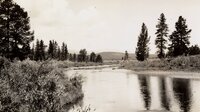
2 A North Fork meadow1933Image
3 Above Granby to above Byers Canyon - Above the Arapaho Bridge. River drops 85 feet in a mile, but made this without portage or lining, bumping down through.1933Image
4 Above Granby to above Byers Canyon - Below Sleepy Hollow, near Trout Rapids1933Image
5 Above Granby to above Byers Canyon - Colo. R. Near Sleepy Hollow-above S[outh] Fork (2 copies)1933Image
6 Above Granby to above Byers Canyon - Colorado River above Columbine Cr[eek]1933Image
7 Above Granby to above Byers Canyon - Colorado River above the Arapaho1933Image
8 Above Granby to above Byers Canyon - Colorado River above the mouth of the Fraser [River], near Granby1933Image
9 Above Granby to above Byers Canyon - Confluence of Fraser [River] & Colo. Rivers below Granby, Colo. Looking into Windy Gap.1933Image
10 Above Granby to above Byers Canyon - Looking upstream into Windy Gap, after thunderstorm. Between Granby and Hot Sulphur Sp[rin]gs.1933Image
11 Below Columbine Creek1933Image
12 Byers Canyon - [ROB ROY in Byers Canyon]1933Image
13 Byers Canyon - Byers Canyon1933Image
14 Byers Canyon - Byers Canyon1933Image
15 Byers Canyon - Byers Canyon. Lining boat under big rock on r[ight].1933Image
16 Byers Canyon - Drying gear below Byers Canyon1933Image
17 Byers Canyon - Easing down a bad stretch in Byers Canyon1933Image
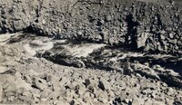
18 Byers Canyon - Hard, fast water in Byers Canyon1933Image
19 Byers Canyon - Lining boat around falls in Byers Canyon.1933Image
20 Byers Canyon - The worst stretch in Byers Canyon. Lined about 80 yards, ran rest.1933Image
21 Byers Canyon - Upper Falls in Byers Canyon1933Image
22 The Colorado at the Grand Lake outlet1933Image
23 The Colorado River above Granby1933Image
24 Colorado River at left, Grand Lake outlet at right1933Image
25 Gore Canyon1933Image
1 - 25 of 60