|
|
Title | Date | Type | Setname |
| 1201 |
 |
Dinosaur Tracks p.2 | | Image | dha_cp |
| 1202 |
 |
Dinosaur tracks, Navajo Canyon (Photo Hopkins, Salt Lake City) | 1910 | Image | uum_map |
| 1203 |
 |
Dinosaur tracks, Navajo Canyon, Ariz., 1910 (Photo G185) | 1910 | Image | uum_map |
| 1204 |
 |
Dinosaur tracks, Navajo Canyon, Ariz., 1910 (Photo G185) | 1910 | Image | uum_map |
| 1205 |
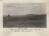 |
Distant (6 mi.) view of Agathla [that is, Chaezkla] from southwest (Photo G344) | 1913 | Image | uum_map |
| 1206 |
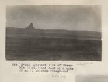 |
Distant view of Chaezkla [that is, Agathla] (3 mi.) and Comb with dike (7 mi.). Dolores foreground (Photo G345) | 1913 | Image | uum_map |
| 1207 |
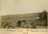 |
Distant view, W. Kaibab Fault, 1900 | 1900 | Image | uum_map |
| 1208 |
 |
Dixie US DOI BLM 1977 | 1977 | Image/StillImage | ucl_maps |
| 1209 |
 |
Dock Marston, breakfast table, Cliff Dweller's | 1965-06 | Image | uum_map_rr |
| 1210 |
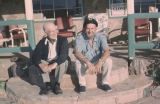 |
Dock Marston, Jimmy Jordan, Cliff Dwellers Lodge | 1965-06 | Image | uum_map_rr |
| 1211 |
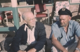 |
Dock Marston, Jimmy Jordan, Cliff Dwellers Lodge | 1965-06 | Image | uum_map_rr |
| 1212 |
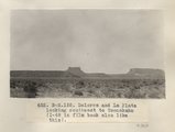 |
Dolores and La Plata looking southeast to Tsenakahn (I-48 in film book also like this) (Photo N-M155) | 1913 | Image | uum_map |
| 1213 |
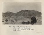 |
Dolores Badlands 1 1/2 mile west of Nashlini. (I-5 & I-7 in film book just like this) (Photo N-M135) | 1913 | Image | uum_map |
| 1214 |
 |
Dolores Badlands 1 1/2 mile west of Nashlini. (I-5 & I-7 in film book just like this) (Photo N-M135) | 1913 | Image | uum_map |
| 1215 |
 |
Dolores Badlands west of Nashlini (Photo N-M136) | 1913 | Image | uum_map |
| 1216 |
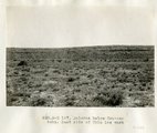 |
Dolores below Tse-na-kahn. East side of Chin lee wash | 1913 | Image | uum_map |
| 1217 |
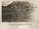 |
Dolores Butte, Carrizo Creek Wash (Photo G450) | 1913 | Image | uum_map |
| 1218 |
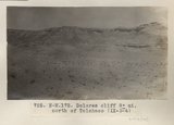 |
Dolores cliff 8± mi. north of Tolchaco (IX-3-4) (Photo N-M172) | 1913 | Image | uum_map |
| 1219 |
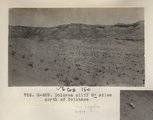 |
Dolores cliff 8± mioles north of Tolchaco (Photo G409) | 1913 | Image | uum_map |
| 1220 |
 |
Dolores east of Black Falls | 1913 | Image | uum_map |
| 1221 |
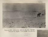 |
Dolores marls 8± mi. below Tanner's Spgs. E.C.Case in photo (Photo G398) | 1913 | Image | uum_map |
| 1222 |
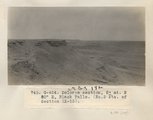 |
Dolores section, 5± mi. N 80° E, Black Falls (No. 2 etc. of Section IX-13) (Photo G424) | 1913 | Image | uum_map |
| 1223 |
 |
Dolores shales and marls, 2± mi. above Round Rock store on Carriso Creek at Plue Point (Pish-dot-klish-is-a). VII, 40 (Photo G276) | 1911 | Image | uum_map |
| 1224 |
 |
Dolores, 2 mi. north of Kayenta (Photo G343) | 1913 | Image | uum_map |
| 1225 |
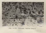 |
Dolores, PahUte canyon (Photo G370) | 1913 | Image | uum_map |
| 1226 |
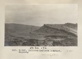 |
Dolores-LaPlata contact, Kayenta (Photo G341) | 1913 | Image | uum_map |
| 1227 |
 |
Dominguez - Escalante Expedition 1776 (Brochure and Map) | | Image/StillImage | ucl_maps |
| 1228 |
 |
Don & Mary Harris | 1965-06 | Image | uum_map_rr |
| 1229 |
 |
Don Harris approach, Lava Falls | 1965-06 | Image | uum_map_rr |
| 1230 |
 |
Don Harris in Lava Falls | 1965-06 | Image | uum_map_rr |
| 1231 |
 |
Don Harris in Lava Falls | 1965-06 | Image | uum_map_rr |
| 1232 |
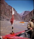 |
Don Hatch (Jack Brennan's boat in rear), Granite Gorge, Grand Canyon, June 1956 | 1956-06 | Image/StillImage | uum_map_rr |
| 1233 |
 |
Don Hatch at mouth of Little Colorado River, June 1956 | 1956-06 | Image/StillImage | uum_map_rr |
| 1234 |
 |
Don Thompson, Mass. | 1965-06 | Image | uum_map_rr |
| 1235 |
 |
Door of "Winsor Castle," Pipe Springs, Mohave County, Ariz. 1939 | 1939 | Image | uum_map |
| 1236 |
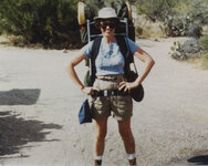 |
Dorothy Sainz backpacking in the Phoenix mountains. | 1979; 1980; 1981 | | uum_map |
| 1237 |
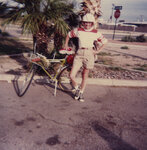 |
Dorothy Sainz on a two day bicycle ride from Tucson to Phoenix | 1982-04 | | uum_map |
| 1238 |
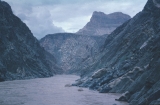 |
Downstream from Crystal Rapid, 20 Aug 71 | 1971-08-20 | Image | uum_map_rr |
| 1239 |
 |
Downstream from Crystal Rapid, 20 Aug 71 | 1971-08-20 | Image | uum_map_rr |
| 1240 |
 |
Dr. Gregory returning to wagon after extinguishing fire in woods on road from Ganado to the sawmill. 1911 (Photo N-M120) | 1911 | Image | uum_map |
| 1241 |
 |
Dr. Pogue on Greybird, 1910 | 1910 | Image | uum_map |
| 1242 |
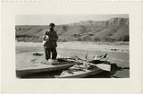 |
Dr. Seynes, French party 1938 | 1938-11 | Image/StillImage | uum_map_rr |
| 1243 |
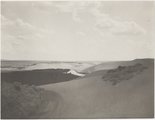 |
Drifting sand burying canyon, Tuba, Ariz., 1909, La Plata strata (photo G-100) | 1909 | Image | uum_map |
| 1244 |
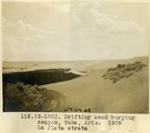 |
Drifting sand burying canyon, Tuba, Ariz., 1909, La Plata strata (photo G-100) | 1909 | Image | uum_map |
| 1245 |
 |
Driving well point, Navajo reservation, Ariz. Schwemberger, photo. | 1909 | Image | uum_map |
| 1246 |
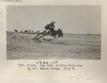 |
Dry bed, Little Colorado 8± mi. above Leupp. July 9 (Photo G406) | 1913 | Image | uum_map |
| 1247 |
 |
Drying out plant press at junction of Little Colorado River | 1971-05-07 | Image | uum_map_rr |
| 1248 |
 |
Duck on a Rock, Grand Canyon | 1935; 1936; 1937; 1938; 1939; 1940; 1941; 1942; 1943; 1944; 1945; 1946; 1947; 1948; 1949 | Image/StillImage | uum_map_rr |
| 1249 |
 |
Dude Ranch (Lee's Ferry) P.1 | 1936 | Image | dha_cp |
| 1250 |
 |
Dug well, cornfields south of Ganado, Ariz., 1909 | 1909 | | uum_map |
| 1251 |
 |
Dug well, Cornfields, Ganado, Ariz. (Negative for photo G-40) | 1909 | Image | uum_map |
| 1252 |
 |
Dug well, Cornfields, south of Ganado, Ariz., 1909 (photo G-40) | 1909 | Image | uum_map |
| 1253 |
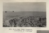 |
Dune fragment, initiation of drainage (Photo N-M146) | 1913 | Image | uum_map |
| 1254 |
 |
Dune occupying cave in Navajo sandstone, Tuba 1914 | 1914 | Image | uum_map |
| 1255 |
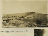 |
Dune, Tuba desert, 1914 | 1914 | Image | uum_map |
| 1256 |
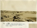 |
Dune-filled upper protion of Reservoir Canyon, Tuba, 1914 | 1914 | Image | uum_map |
| 1257 |
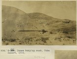 |
Dunes burying rock, Tuba Desert, 1914 | 1914 | Image | uum_map |
| 1258 |
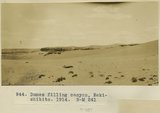 |
Dunes filling canyon, Bekishibito, 1914 | 1914 | Image | uum_map |
| 1259 |
 |
Dunes filling Reservoir Canyon, Tuba (IV-8 in film book is also like this) (Photo G441) | 1913 | Image | uum_map |
| 1260 |
 |
Dunes filling Reservoir Canyon, Tuba (IV-8 in film book is also like this) (Photo G441) | 1913 | Image | uum_map |
| 1261 |
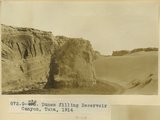 |
Dunes filling Reservoir Canyon, Tuba, 1914 | 1914 | Image | uum_map |
| 1262 |
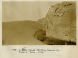 |
Dunes filling Reservoir Canyon, Tuba, 1914 | 1914 | Image | uum_map |
| 1263 |
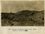 |
Dunes shifting from rock, Tuba Desert, 1914 | 1914 | Image | uum_map |
| 1264 |
 |
Dunes, Tuba desert (Photo G440) | 1913 | Image | uum_map |
| 1265 |
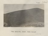 |
Dunes, Tuba desert (Photo N-M181) | 1913 | Image | uum_map |
| 1266 |
 |
Dunes, Tuba desert (Photo N-M182) | 1913 | Image | uum_map |
| 1267 |
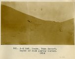 |
Dunes, Tuba Desert, knobs of rock partly buried, 1914 | 1914 | Image | uum_map |
| 1268 |
 |
Dutton geologic atlas illustrations [01] | 1962 | Image/StillImage | uum_map_rr |
| 1269 |
 |
Dutton geologic atlas illustrations [02] | 1962 | Image/StillImage | uum_map_rr |
| 1270 |
 |
Dutton geologic atlas illustrations [03] | 1962 | Image/StillImage | uum_map_rr |
| 1271 |
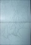 |
Dutton geologic atlas illustrations [04] | 1962 | Image/StillImage | uum_map_rr |
| 1272 |
 |
Dutton geologic atlas illustrations [05] | 1962 | Image/StillImage | uum_map_rr |
| 1273 |
 |
Dutton geologic atlas illustrations [06] | 1962 | Image/StillImage | uum_map_rr |
| 1274 |
 |
Dutton geologic atlas illustrations [07] | 1962 | Image/StillImage | uum_map_rr |
| 1275 |
 |
Dutton geologic atlas illustrations [08] | 1962 | Image/StillImage | uum_map_rr |
| 1276 |
 |
Dutton geologic atlas illustrations [09] | 1962 | Image/StillImage | uum_map_rr |
| 1277 |
 |
Dutton geologic atlas illustrations [10] | 1962 | Image/StillImage | uum_map_rr |
| 1278 |
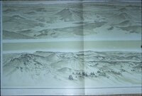 |
Dutton geologic atlas illustrations [11] | 1962 | Image/StillImage | uum_map_rr |
| 1279 |
 |
Dutton geologic atlas illustrations [12] | 1962 | Image/StillImage | uum_map_rr |
| 1280 |
 |
Dutton geologic atlas illustrations [13] | 1962 | Image/StillImage | uum_map_rr |
| 1281 |
 |
Dutton geologic atlas illustrations [14] | 1962 | Image/StillImage | uum_map_rr |
| 1282 |
 |
Dutton geologic atlas illustrations [15] | 1962 | Image/StillImage | uum_map_rr |
| 1283 |
 |
Dutton geologic atlas illustrations [16] | 1962 | Image/StillImage | uum_map_rr |
| 1284 |
 |
Dutton geologic atlas illustrations [17] | 1962 | Image/StillImage | uum_map_rr |
| 1285 |
 |
Dutton geologic atlas illustrations [18] | 1962 | Image/StillImage | uum_map_rr |
| 1286 |
 |
Dutton geologic atlas illustrations [19] | 1962 | Image/StillImage | uum_map_rr |
| 1287 |
 |
Dutton geologic atlas illustrations [20] | 1962 | Image/StillImage | uum_map_rr |
| 1288 |
 |
Dutton geologic atlas illustrations [21] | 1962 | Image/StillImage | uum_map_rr |
| 1289 |
 |
Dutton geologic atlas illustrations [22] | 1962 | Image/StillImage | uum_map_rr |
| 1290 |
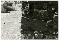 |
E. W. Stevens inscription on oldest house at Lee's Ferry | 1985-11 | | uum_map_rr |
| 1291 |
 |
E.H.G. on horseback after ride over mesas near Ganado. 1911 (Photo N-M119) | 1911 | Image | uum_map |
| 1292 |
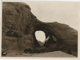 |
Ear of the Wind Arch | 1935; 1936; 1937; 1938; 1939; 1940; 1941; 1942; 1943; 1944; 1945; 1946; 1947; 1948; 1949 | Image/StillImage | uum_map_rr |
| 1293 |
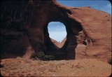 |
Ear of the Wind, Monument Valley | 1940; 1941; 1942; 1943; 1944; 1945; 1946; 1947; 1948; 1949 | Image/StillImage | uum_map_rr |
| 1294 |
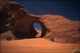 |
Ear of the Wind, Monument Valley | 1934; 1935; 1936; 1937; 1938; 1939; 1940; 1941; 1942; 1943; 1944; 1945; 1946; 1947; 1948; 1949 | Image/StillImage | uum_map_rr |
| 1295 |
 |
Early Mormon Missionary Work with the Indians of Northern Arizona | 1964 | Text | uum_msa |
| 1296 |
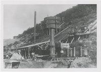 |
Early smelter, Bisbee, Arizona | 1900; 1901; 1902; 1903; 1904; 1905; 1906; 1907; 1908; 1909; 1910; 1911; 1912; 1913; 1914; 1915; 1916; 1917; 1918; 1919; 1920; 1921; 1922; 1923; 1924; 1925; 1926; 1927; 1928; 1929; 1930; 1931; 1932; 1933; 1934; 1935; 1936; 1937; 1938; 1939; 1940 | Image | uum_map |
| 1297 |
 |
Early western travels, 1748-1846 | 1906 | Image/StillImage | uaida_main |
| 1298 |
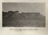 |
East side of Twin Mesas (VIII-71) (Photo G396) | 1913 | Image | uum_map |
| 1299 |
 |
Eastern Grand Canyon landscape, March 1962 [01] | 1962 | Image/StillImage | uum_map_rr |
| 1300 |
 |
Eastern Grand Canyon landscape, March 1962 [02] | 1962 | Image/StillImage | uum_map_rr |