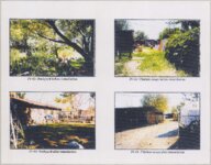
The Superfund Records Center records (1990-2002) contains reports, histories, news clippings, and other documents pertaining to the Environmental Protection agency in relation to Kennecott Copper Mines North Facilities, South Arm, and surrounding areas within Utah. Superfund was initialized by concerns related to properties which resulted in uncontrolled or abandoned hazardous waste sites, for instance, abandoned warehouses and landfills. Citizen concern encouraged Congress to establish the Superfund Program in 1980 in order investigate and clean-up the areas in question. The EPA administers the Superfund Program in cooperation with various states and communities.
- United States. Comprehensive Environmental Response, Compensation, and Liability Act of 1980--Archives16
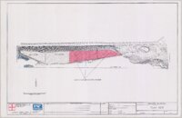
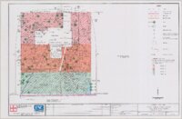
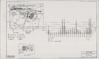
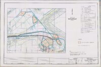
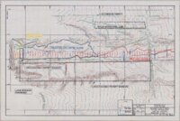
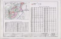
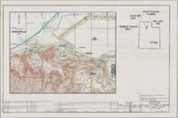
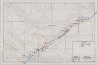
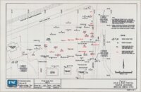
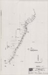
- Hazardous waste site remediation--Utah--Salt Lake County--Maps14
- Soil pollution--Utah--Salt Lake County--Maps14
- Arsenic--Environmental aspects--Utah--Salt Lake County1
- Great Salt Lake (Utah)--Environmental conditions1
- More
1 - 25 of 16

1 - 25 of 16